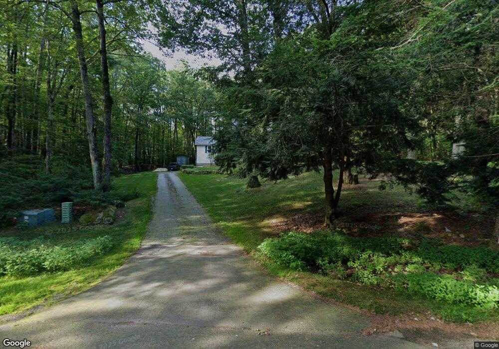
48 Greatstone Dr MerriMacK, NH 03054
Estimated Value: $618,002 - $683,000
4
Beds
3
Baths
2,814
Sq Ft
$231/Sq Ft
Est. Value
About This Home
This home is located at 48 Greatstone Dr, MerriMacK, NH 03054 and is currently estimated at $649,751, approximately $230 per square foot. 48 Greatstone Dr is a home located in Hillsborough County with nearby schools including James Mastricola Elementary School, Merrimack Middle School, and James Mastricola Upper Elementary School.
Ownership History
Date
Name
Owned For
Owner Type
Purchase Details
Closed on
May 13, 2025
Sold by
Barowski Thomas E and Barowski Marie E
Bought by
Barowski Ft and Barowski
Current Estimated Value
Purchase Details
Closed on
Dec 17, 2001
Sold by
Stroliske Donald E and Stroliske Patricia A
Bought by
Barowski Thomas E and Barowski Marie E
Home Financials for this Owner
Home Financials are based on the most recent Mortgage that was taken out on this home.
Original Mortgage
$201,600
Interest Rate
6.6%
Create a Home Valuation Report for This Property
The Home Valuation Report is an in-depth analysis detailing your home's value as well as a comparison with similar homes in the area
Home Values in the Area
Average Home Value in this Area
Purchase History
| Date | Buyer | Sale Price | Title Company |
|---|---|---|---|
| Barowski Ft | -- | None Available | |
| Barowski Ft | -- | None Available | |
| Barowski Thomas E | $252,000 | -- | |
| Barowski Thomas E | $252,000 | -- |
Source: Public Records
Mortgage History
| Date | Status | Borrower | Loan Amount |
|---|---|---|---|
| Previous Owner | Barowski Thomas E | $41,000 | |
| Previous Owner | Barowski Thomas E | $211,000 | |
| Previous Owner | Barowski Thomas E | $201,600 |
Source: Public Records
Tax History Compared to Growth
Tax History
| Year | Tax Paid | Tax Assessment Tax Assessment Total Assessment is a certain percentage of the fair market value that is determined by local assessors to be the total taxable value of land and additions on the property. | Land | Improvement |
|---|---|---|---|---|
| 2024 | $8,851 | $427,800 | $211,200 | $216,600 |
| 2023 | $8,321 | $427,800 | $211,200 | $216,600 |
| 2022 | $7,435 | $427,800 | $211,200 | $216,600 |
| 2021 | $7,345 | $427,800 | $211,200 | $216,600 |
| 2020 | $7,663 | $318,500 | $148,500 | $170,000 |
| 2019 | $7,685 | $318,500 | $148,500 | $170,000 |
| 2018 | $7,682 | $318,500 | $148,500 | $170,000 |
| 2017 | $7,284 | $311,700 | $148,500 | $163,200 |
| 2016 | $7,104 | $311,700 | $148,500 | $163,200 |
| 2015 | $7,147 | $289,100 | $138,200 | $150,900 |
| 2014 | $6,964 | $289,100 | $138,200 | $150,900 |
| 2013 | $6,912 | $289,100 | $138,200 | $150,900 |
Source: Public Records
Map
Nearby Homes
- 50 Greatstone Dr
- 47 Greatstone Dr
- 8 Olde Rd
- 10 Olde Rd
- 44 Greatstone Dr
- 6 Olde Rd
- 43 Greatstone Dr
- 12 Olde Rd
- 4 Olde Rd
- 14 Tomahawk Dr
- 52 Greatstone Dr
- 41 Greatstone Dr
- 14 Olde Rd
- 51 Greatstone Dr
- 3 Greatstone Dr
- 42 Greatstone Dr
- 6 Pebble Ct
- 6 Pebble Ct Unit 15
- 229 Baboosic Lake Rd
- 231 Baboosic Lake Rd