48 Merrifield Rd Bernardston, MA 01337
Estimated Value: $483,000 - $704,512
3
Beds
2
Baths
2,300
Sq Ft
$255/Sq Ft
Est. Value
About This Home
This home is located at 48 Merrifield Rd, Bernardston, MA 01337 and is currently estimated at $586,628, approximately $255 per square foot. 48 Merrifield Rd is a home located in Franklin County with nearby schools including Pioneer Valley Regional and Full Circle School.
Ownership History
Date
Name
Owned For
Owner Type
Purchase Details
Closed on
Jun 24, 2008
Sold by
Sthilaire Christy
Bought by
Spaulding Darrell L and Sthilaire Christy
Current Estimated Value
Purchase Details
Closed on
Jul 12, 2001
Sold by
Herrick Genevieve D and Herrick Charles W
Bought by
Sthilaire Beryl and Hilaire Christy Saint
Create a Home Valuation Report for This Property
The Home Valuation Report is an in-depth analysis detailing your home's value as well as a comparison with similar homes in the area
Home Values in the Area
Average Home Value in this Area
Purchase History
| Date | Buyer | Sale Price | Title Company |
|---|---|---|---|
| Spaulding Darrell L | -- | -- | |
| Spaulding Darrell L | -- | -- | |
| Sthilaire Beryl | $65,000 | -- | |
| Sthilaire Beryl | $65,000 | -- |
Source: Public Records
Mortgage History
| Date | Status | Borrower | Loan Amount |
|---|---|---|---|
| Previous Owner | Sthilaire Beryl | $65,000 | |
| Previous Owner | Sthilaire Beryl | $165,143 | |
| Previous Owner | Sthilaire Beryl | $166,000 |
Source: Public Records
Tax History Compared to Growth
Tax History
| Year | Tax Paid | Tax Assessment Tax Assessment Total Assessment is a certain percentage of the fair market value that is determined by local assessors to be the total taxable value of land and additions on the property. | Land | Improvement |
|---|---|---|---|---|
| 2025 | $8,740 | $612,500 | $73,000 | $539,500 |
| 2024 | $9,346 | $572,000 | $73,000 | $499,000 |
| 2023 | $8,943 | $559,300 | $66,500 | $492,800 |
| 2022 | $8,712 | $506,500 | $60,500 | $446,000 |
| 2021 | $8,063 | $434,200 | $51,200 | $383,000 |
| 2020 | $7,834 | $421,400 | $50,800 | $370,600 |
| 2019 | $7,640 | $389,000 | $50,800 | $338,200 |
| 2018 | $7,607 | $371,600 | $51,500 | $320,100 |
| 2017 | $7,350 | $371,600 | $51,500 | $320,100 |
| 2016 | $7,231 | $371,600 | $51,500 | $320,100 |
| 2015 | $6,977 | $375,500 | $60,700 | $314,800 |
Source: Public Records
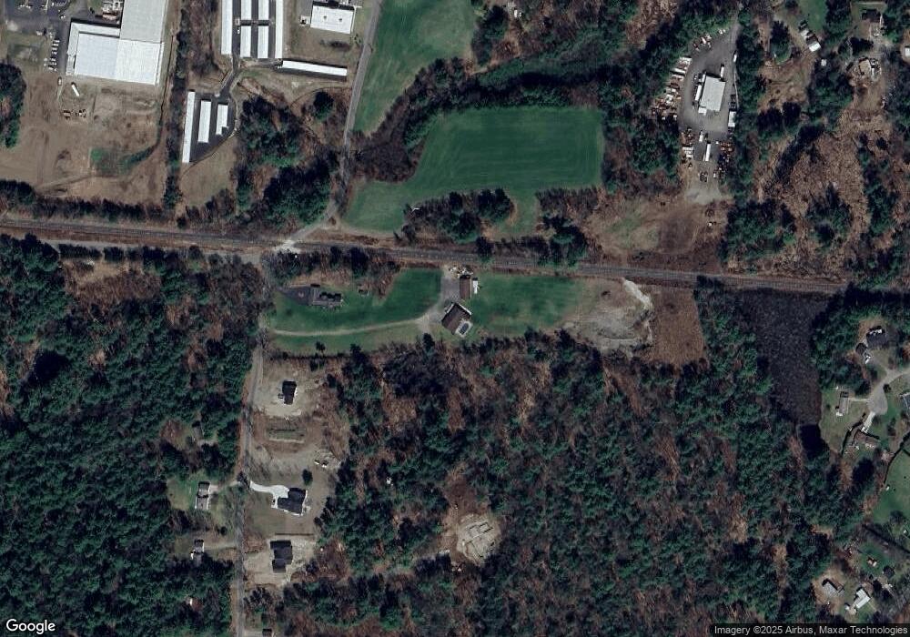
Map
Nearby Homes
- 23 Industrial Dr
- 1 Northfield Rd
- 59 River St
- 47 Cross St
- 180 Bald Mountain Rd
- 75 South St Unit 3
- 539 Fox Hill Rd
- Lot 9 Fox Hill Rd (Off)
- 56 Brattleboro Rd
- 83 Eden Trail Branch
- 182 Main Rd
- 001 Adams Rd
- 31 Lovers Ln
- 0 Meadow View Ln & Pine Meadow
- 704 Brattleboro Rd
- 775 Brattleboro Rd
- 72 Meadowood Dr
- 696 Bernardston Rd
- 2 Pisgah Mountain Rd
- 294 Capt Beers Plain Rd
- 42 Merrifield Rd
- 60 Merrifield Rd
- 56 Merrifield Rd
- 72 Merrifield Rd
- 63 Merrifield Rd
- 137 Northfield Rd
- 73 Merrifield Rd
- 75 Merrifield Rd
- 128 Northfield Rd
- 138 Northfield Rd
- 0 Merrifield Rd
- 111 Northfield Rd
- 115 Northfield Rd
- 88 Merrifield Rd
- 107 Northfield Rd
- 126 Northfield Rd
- 120 Northfield Rd
- 1 Merrifield Rd
- Lot 4 Merrifield Rd
- Lot 1 Merrifield Rd