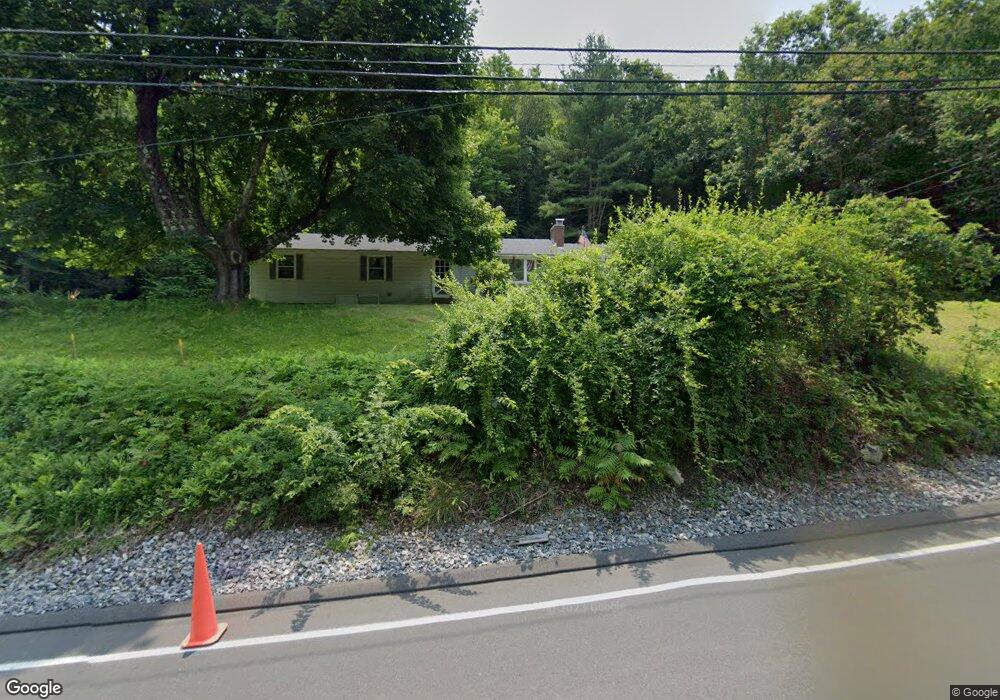
48 Riverton Rd Riverton, CT 06065
Estimated Value: $299,000 - $419,000
3
Beds
2
Baths
1,300
Sq Ft
$264/Sq Ft
Est. Value
About This Home
This home is located at 48 Riverton Rd, Riverton, CT 06065 and is currently estimated at $343,511, approximately $264 per square foot. 48 Riverton Rd is a home located in Litchfield County with nearby schools including Barkhamsted Elementary School, Northwestern Regional Middle School, and Northwestern Regional High School.
Ownership History
Date
Name
Owned For
Owner Type
Purchase Details
Closed on
Sep 19, 2019
Sold by
Godenzi-Stanard Kierstyn
Bought by
Stanard Elizabeth
Current Estimated Value
Purchase Details
Closed on
Sep 2, 1966
Bought by
Stanard Christopher
Create a Home Valuation Report for This Property
The Home Valuation Report is an in-depth analysis detailing your home's value as well as a comparison with similar homes in the area
Home Values in the Area
Average Home Value in this Area
Purchase History
| Date | Buyer | Sale Price | Title Company |
|---|---|---|---|
| Stanard Elizabeth | -- | -- | |
| Stanard Christopher | -- | -- |
Source: Public Records
Mortgage History
| Date | Status | Borrower | Loan Amount |
|---|---|---|---|
| Previous Owner | Stanard Christopher | $25,000 |
Source: Public Records
Tax History
| Year | Tax Paid | Tax Assessment Tax Assessment Total Assessment is a certain percentage of the fair market value that is determined by local assessors to be the total taxable value of land and additions on the property. | Land | Improvement |
|---|---|---|---|---|
| 2025 | $4,628 | $182,420 | $46,090 | $136,330 |
| 2024 | $4,670 | $182,420 | $46,090 | $136,330 |
| 2023 | $4,557 | $134,260 | $50,440 | $83,820 |
| 2022 | $4,491 | $134,260 | $50,440 | $83,820 |
| 2021 | $4,459 | $134,260 | $50,440 | $83,820 |
| 2020 | $4,354 | $134,260 | $50,440 | $83,820 |
| 2019 | $4,381 | $134,260 | $50,440 | $83,820 |
| 2018 | $3,734 | $118,480 | $46,660 | $71,820 |
| 2017 | $3,673 | $118,480 | $46,660 | $71,820 |
| 2016 | $3,557 | $118,480 | $46,660 | $71,820 |
| 2015 | $3,450 | $117,430 | $46,660 | $70,770 |
| 2014 | $3,405 | $117,430 | $46,660 | $70,770 |
Source: Public Records
Map
Nearby Homes
- 0 Old Robertsville Rd
- 115 Old Robertsville Rd
- 00 Ramsgate Ln
- 82 Riverton Rd
- 174 Old North Rd
- 171 Wallens St
- 174 Wallens St Unit A5
- 35 Riveredge Dr Unit 35
- 95 Colony Dr
- 55 Walnut St
- 94 Holabird Ave
- 186 Mill St
- 57 Main St
- 39 S Main St
- 9 Central Ave
- 35 Glendale Ave
- 266 Old Forge Rd
- 25 Center St
- 118 Meadow St
- 720 Main St
- 47 Riverton Rd
- 47 Riverton Rd
- 41 Riverton Rd
- 41 Riverton Rd
- 39 Riverton Rd
- 38 Riverton Rd
- 37 Riverton Rd
- 51 Riverton Rd
- 32 Riverton Rd
- 63 Riverton Rd
- 30 Riverton Rd
- 68 Riverton Rd
- 70 Riverton Rd
- 37 Riverton Rd
- 37 Riverton Rd
- 1 W River Rd
- 0 Riverton Rd Unit L138936
- 0 Riverton Rd Unit L10023170
- 0 Riverton Rd Unit L10042522
- 00 Riverton Rd
Your Personal Tour Guide
Ask me questions while you tour the home.