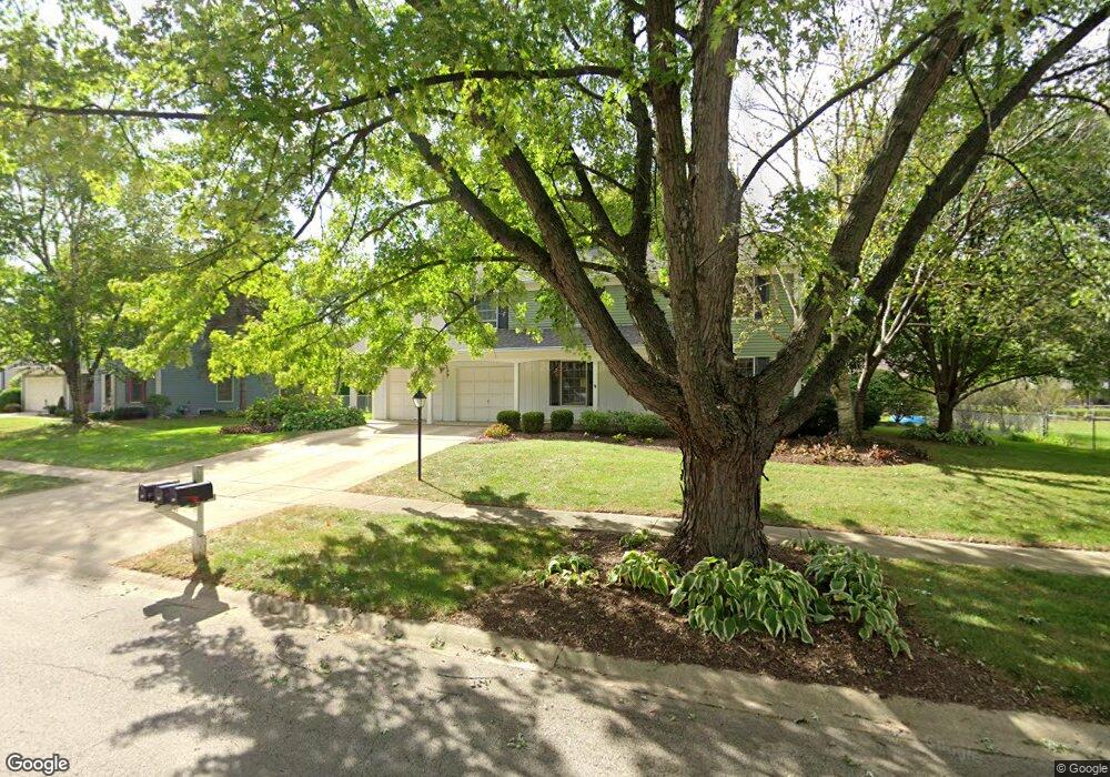
48 Sherwick Rd Oswego, IL 60543
Boulder Hill NeighborhoodEstimated Value: $321,000 - $398,000
4
Beds
3
Baths
1,976
Sq Ft
$186/Sq Ft
Est. Value
About This Home
This home is located at 48 Sherwick Rd, Oswego, IL 60543 and is currently estimated at $366,643, approximately $185 per square foot. 48 Sherwick Rd is a home located in Kendall County with nearby schools including Old Post Elementary School, Thompson Jr. High School, and Oswego High School.
Ownership History
Date
Name
Owned For
Owner Type
Purchase Details
Closed on
Jun 29, 2005
Sold by
Kuehl Eldred D and Kuehl Darlene T
Bought by
Shilakis Mark E and Shilakis Claudia L
Current Estimated Value
Home Financials for this Owner
Home Financials are based on the most recent Mortgage that was taken out on this home.
Original Mortgage
$159,900
Outstanding Balance
$83,631
Interest Rate
5.69%
Mortgage Type
Fannie Mae Freddie Mac
Estimated Equity
$283,012
Purchase Details
Closed on
Jul 1, 1985
Create a Home Valuation Report for This Property
The Home Valuation Report is an in-depth analysis detailing your home's value as well as a comparison with similar homes in the area
Home Values in the Area
Average Home Value in this Area
Purchase History
| Date | Buyer | Sale Price | Title Company |
|---|---|---|---|
| Shilakis Mark E | $250,000 | -- | |
| -- | $100,900 | -- |
Source: Public Records
Mortgage History
| Date | Status | Borrower | Loan Amount |
|---|---|---|---|
| Open | Shilakis Mark E | $159,900 |
Source: Public Records
Tax History
| Year | Tax Paid | Tax Assessment Tax Assessment Total Assessment is a certain percentage of the fair market value that is determined by local assessors to be the total taxable value of land and additions on the property. | Land | Improvement |
|---|---|---|---|---|
| 2024 | $7,593 | $105,349 | $21,511 | $83,838 |
| 2023 | $0 | $102,280 | $20,884 | $81,396 |
| 2022 | $7,638 | $95,589 | $19,518 | $76,071 |
| 2021 | $7,330 | $89,335 | $18,241 | $71,094 |
| 2020 | $7,077 | $85,899 | $17,539 | $68,360 |
| 2019 | $7,417 | $83,270 | $17,539 | $65,731 |
| 2018 | $6,780 | $75,983 | $16,004 | $59,979 |
| 2017 | $6,564 | $70,030 | $14,750 | $55,280 |
| 2016 | $6,058 | $64,248 | $13,532 | $50,716 |
| 2015 | $5,835 | $59,489 | $12,530 | $46,959 |
| 2014 | -- | $57,201 | $12,048 | $45,153 |
| 2013 | -- | $60,211 | $12,682 | $47,529 |
Source: Public Records
Map
Nearby Homes
- 9 Cebold Dr
- 1300 Orchard Rd
- 3 Orchard Rd
- 123 Orchard Rd
- 2 Orchard Rd
- 22 Guilford Rd
- 135 Chesterfield Dr
- 521 Waterford Dr
- 510 Waterford Dr
- 133 River Mist Dr Unit 3
- 135 River Mist Dr Unit 2
- 116 River Mist Dr
- 1415 State Route 31
- 2110 State Route 31
- 1451 Vintage Dr
- 109 Old Post Rd
- 119 Garden Dr
- 2300 Light Rd Unit 202
- 7.43 Acres Vacant La State Route 31
- 86 Circle Dr E
Your Personal Tour Guide
Ask me questions while you tour the home.