Estimated Value: $999,275 - $1,339,000
Studio
--
Bath
2,420
Sq Ft
$461/Sq Ft
Est. Value
About This Home
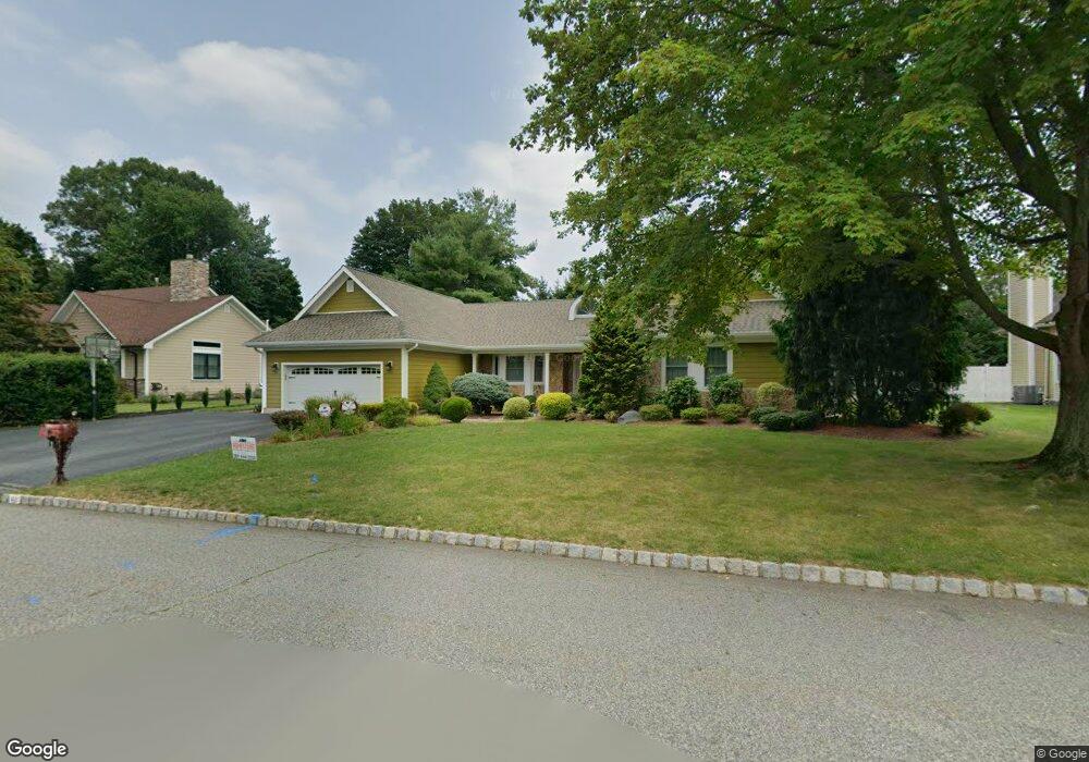
This home is located at 48 Sturbridge Cir, Wayne, NJ 07470 and is currently estimated at $1,114,819, approximately $460 per square foot. 48 Sturbridge Cir is a home located in Passaic County with nearby schools including Albert P. Terhune Elementary School, Schuyler-Colfax Middle School, and Wayne Hills High School.
Ownership History
Date
Name
Owned For
Owner Type
Purchase Details
Closed on
Dec 18, 2020
Sold by
Oloughlin Anthony and Oloughlin Georgene
Bought by
Oloughlin Anthony and Oloughlin Georgene G
Current Estimated Value
Purchase Details
Closed on
Nov 28, 2008
Sold by
Fine Bruce and Fine Linda
Bought by
Oloughlin Anthony and Oloughlin Georgene
Home Financials for this Owner
Home Financials are based on the most recent Mortgage that was taken out on this home.
Original Mortgage
$200,000
Interest Rate
6.49%
Mortgage Type
Purchase Money Mortgage
Purchase Details
Closed on
May 1, 2003
Sold by
Zughbi Zaki
Bought by
Fine Bruce
Home Financials for this Owner
Home Financials are based on the most recent Mortgage that was taken out on this home.
Original Mortgage
$456,000
Interest Rate
5.84%
Purchase Details
Closed on
Mar 15, 1999
Sold by
Zughbi Joseph
Bought by
Zughbi Zaki and Zughbi Nina
Create a Home Valuation Report for This Property
The Home Valuation Report is an in-depth analysis detailing your home's value as well as a comparison with similar homes in the area
Home Values in the Area
Average Home Value in this Area
Purchase History
| Date | Buyer | Sale Price | Title Company |
|---|---|---|---|
| Oloughlin Anthony | -- | None Available | |
| Oloughlin Revocable Trust | -- | Olitsky Andrea | |
| Oloughlin Anthony | $665,000 | -- | |
| Fine Bruce | $570,000 | -- | |
| Zughbi Zaki | -- | -- |
Source: Public Records
Mortgage History
| Date | Status | Borrower | Loan Amount |
|---|---|---|---|
| Previous Owner | Oloughlin Anthony | $200,000 | |
| Previous Owner | Fine Bruce | $456,000 |
Source: Public Records
Tax History
| Year | Tax Paid | Tax Assessment Tax Assessment Total Assessment is a certain percentage of the fair market value that is determined by local assessors to be the total taxable value of land and additions on the property. | Land | Improvement |
|---|---|---|---|---|
| 2025 | $18,974 | $319,100 | $137,400 | $181,700 |
| 2024 | $18,246 | $319,100 | $137,400 | $181,700 |
Source: Public Records
Map
Nearby Homes
- 3 Agawam Dr
- 12 Hadley Ln
- 47 Chicopee Dr
- 3 Brandywine Rd
- 212 Seminole Ln
- 8717 Brittany Dr
- 8605 Brittany Dr
- 8015 Brittany Dr
- 703 Brittany Dr
- 511 Brittany Dr
- 912 Cherokee Ln
- 951 Scioto Dr
- 311 Algonquin Rd
- 711 Cheyenne Dr
- 1360 Hamburg Turnpike Unit 104
- 356 Indian Trail Dr
- 873 Olentangy Rd
- 138 Levinberg Ln
- 307 Freemans Ln
- 45 Indian Rd
Your Personal Tour Guide
Ask me questions while you tour the home.