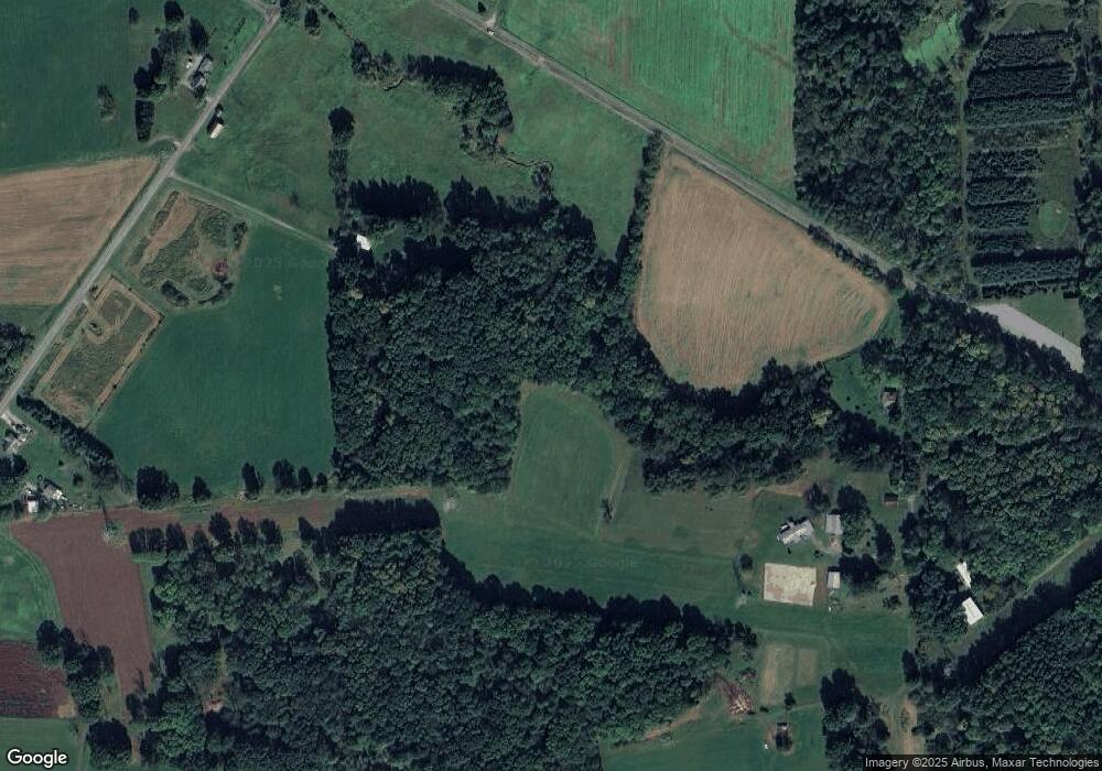
48 Syphrit Ln West Middlesex, PA 16159
Estimated Value: $170,297 - $267,000
--
Bed
--
Bath
--
Sq Ft
48.33
Acres
About This Home
This home is located at 48 Syphrit Ln, West Middlesex, PA 16159 and is currently estimated at $204,432. 48 Syphrit Ln is a home with nearby schools including Oakview Elementary School, Luther W Low Elementary School, and West Middlesex Junior/Senior High School.
Ownership History
Date
Name
Owned For
Owner Type
Purchase Details
Closed on
Oct 27, 2020
Sold by
Sackett Cathleen Louise and Mortimer Robin D
Bought by
Beatrice Cathleen L
Current Estimated Value
Home Financials for this Owner
Home Financials are based on the most recent Mortgage that was taken out on this home.
Original Mortgage
$110,000
Interest Rate
2.8%
Mortgage Type
New Conventional
Purchase Details
Closed on
Sep 7, 2011
Sold by
Beatrice David
Bought by
Sackett Cathleen Louise and Beatrice Cathleen L
Create a Home Valuation Report for This Property
The Home Valuation Report is an in-depth analysis detailing your home's value as well as a comparison with similar homes in the area
Home Values in the Area
Average Home Value in this Area
Purchase History
| Date | Buyer | Sale Price | Title Company |
|---|---|---|---|
| Beatrice Cathleen L | -- | None Available | |
| Sackett Cathleen Louise | -- | None Available |
Source: Public Records
Mortgage History
| Date | Status | Borrower | Loan Amount |
|---|---|---|---|
| Closed | Beatrice Cathleen L | $110,000 |
Source: Public Records
Tax History Compared to Growth
Tax History
| Year | Tax Paid | Tax Assessment Tax Assessment Total Assessment is a certain percentage of the fair market value that is determined by local assessors to be the total taxable value of land and additions on the property. | Land | Improvement |
|---|---|---|---|---|
| 2025 | $3,394 | $30,100 | $5,400 | $24,700 |
| 2024 | $3,394 | $30,100 | $5,400 | $24,700 |
| 2023 | $3,289 | $30,100 | $5,400 | $24,700 |
| 2022 | $3,259 | $30,100 | $5,400 | $24,700 |
| 2021 | $3,209 | $30,100 | $5,400 | $24,700 |
| 2020 | $3,209 | $30,100 | $5,400 | $24,700 |
| 2019 | $3,100 | $30,100 | $5,400 | $24,700 |
| 2018 | $3,033 | $30,100 | $5,400 | $24,700 |
| 2017 | $2,988 | $30,100 | $5,400 | $24,700 |
| 2016 | -- | $30,100 | $5,400 | $24,700 |
| 2015 | -- | $30,100 | $5,400 | $24,700 |
| 2014 | -- | $9,300 | $5,400 | $3,900 |
Source: Public Records
Map
Nearby Homes
- 400 Oak Hill Rd
- 0 Sr-318 & Executive Ct Unit 1725969
- Lot 28 Wheatland Rd
- 4109 High Hill Rd
- 00 Lilac Dr
- 88 Fetsko Rd
- 3404 Hubbard-Middlesex Rd
- 57 Wagon Wheel Ct
- 1946 State Route 208
- 774 Wheatland Rd
- 8240 Mercer St
- 6453 Old Pulaski Rd
- 138 Beech Way
- 3134 Main St Unit 180
- 4553 Marr Rd
- 940 Wheatland Rd
- 11 Clubhouse Dr
- 1 Grandview Dr
- 3821 Evergreen Rd
- 945 Cherriwood Rd
