48 Whitegate Rd Wolfeboro, NH 03894
Estimated Value: $917,000 - $2,283,471
2
Beds
3
Baths
1,584
Sq Ft
$906/Sq Ft
Est. Value
About This Home
This home is located at 48 Whitegate Rd, Wolfeboro, NH 03894 and is currently estimated at $1,435,824, approximately $906 per square foot. 48 Whitegate Rd is a home with nearby schools including Carpenter Elementary School, Crescent Lake School, and Kingswood Regional Middle School.
Ownership History
Date
Name
Owned For
Owner Type
Purchase Details
Closed on
May 8, 2015
Sold by
Muir Warren R
Bought by
Natalie A Purington Re
Current Estimated Value
Create a Home Valuation Report for This Property
The Home Valuation Report is an in-depth analysis detailing your home's value as well as a comparison with similar homes in the area
Home Values in the Area
Average Home Value in this Area
Purchase History
| Date | Buyer | Sale Price | Title Company |
|---|---|---|---|
| Natalie A Purington Re | -- | -- |
Source: Public Records
Mortgage History
| Date | Status | Borrower | Loan Amount |
|---|---|---|---|
| Previous Owner | Natalie A Purington Re | $150,000 |
Source: Public Records
Tax History
| Year | Tax Paid | Tax Assessment Tax Assessment Total Assessment is a certain percentage of the fair market value that is determined by local assessors to be the total taxable value of land and additions on the property. | Land | Improvement |
|---|---|---|---|---|
| 2024 | $22,616 | $1,422,400 | $1,244,100 | $178,300 |
| 2023 | $20,895 | $1,422,400 | $1,244,100 | $178,300 |
| 2022 | $18,804 | $1,422,400 | $1,244,100 | $178,300 |
| 2021 | $19,444 | $1,422,400 | $1,244,100 | $178,300 |
| 2020 | $3,305 | $1,415,900 | $1,244,100 | $171,800 |
| 2019 | $20,456 | $1,291,400 | $1,162,800 | $128,600 |
| 2018 | $2,488 | $1,351,400 | $1,222,800 | $128,600 |
| 2017 | $20,244 | $1,351,400 | $1,222,800 | $128,600 |
| 2016 | $19,771 | $1,351,400 | $1,222,800 | $128,600 |
| 2015 | $22,353 | $1,602,400 | $1,476,700 | $125,700 |
| 2014 | $17,384 | $1,336,200 | $1,192,500 | $143,700 |
| 2013 | $17,143 | $1,336,200 | $1,192,500 | $143,700 |
Source: Public Records
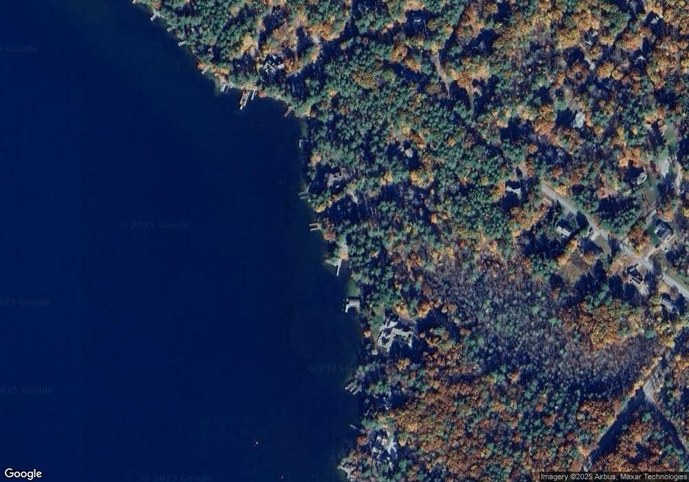
Map
Nearby Homes
- 4 Mulberry Ct
- 12 Highland Terrace
- 222 N Main St
- 35 Rocky Shore Rd
- 195 Sewall Rd
- 17 Waumbeck Rd
- 1 Ians Way
- 185 Ambrose Way
- 33 Endicott St Unit 7
- 40 Harbor Way Unit 24
- 39 Harbor Way Unit 19
- 0 Fieldstone Rd Unit 33
- 290 Pine Hill Rd
- 21 Goodrich Rd
- 00 Beach Pond Rd Unit 35
- 172 Center St
- 6 Governor Wentworth Hwy
- 120 Big Barndoor Island
- 4 Sunny Oaks Terrace
- 337 S Main St Unit Interval week 4 Janu
- 50 Whitegate Rd
- 36 Whitegate Rd
- 60 Whitegate Rd
- 61 Whitegate Rd
- 68 Whitegate Rd
- 171 Forest Rd
- 10 Partridge Dr
- 10 Partridge Dr
- 9 Partridge Dr
- 3 Partridge Dr
- 00 Maplewood Dr
- 179 Forest Rd
- 13 Jiminy Dr
- 14 Partridge Dr
- 8 Partridge Dr
- 8 Partridge Dr
- 18 Partridge Dr
- 13 Partridge Dr
- 14 Jiminy Dr
- 6 Partridge Dr
Your Personal Tour Guide
Ask me questions while you tour the home.