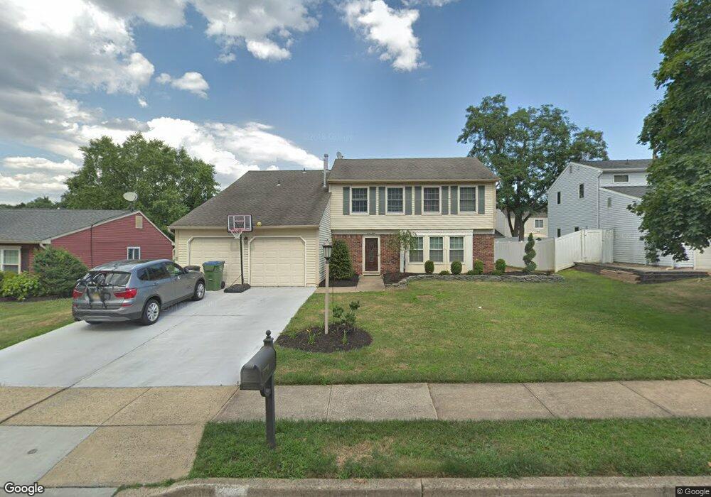
48 Wintergreen Ave E Edison, NJ 08820
Estimated Value: $863,284 - $911,000
4
Beds
3
Baths
2,257
Sq Ft
$394/Sq Ft
Est. Value
About This Home
This home is located at 48 Wintergreen Ave E, Edison, NJ 08820 and is currently estimated at $889,321, approximately $394 per square foot. 48 Wintergreen Ave E is a home located in Middlesex County with nearby schools including James Madison Primary School, James Madison Intermediate School, and John Adams Middle School.
Ownership History
Date
Name
Owned For
Owner Type
Purchase Details
Closed on
Dec 27, 2017
Sold by
Parappuzha John Paul and Paul Shiby
Bought by
Chandra Sabysachi and Seal Rimi
Current Estimated Value
Home Financials for this Owner
Home Financials are based on the most recent Mortgage that was taken out on this home.
Original Mortgage
$492,915
Outstanding Balance
$415,962
Interest Rate
3.94%
Mortgage Type
New Conventional
Estimated Equity
$473,359
Purchase Details
Closed on
Aug 24, 2012
Sold by
Karczewski Edward A and Karczewski Barbara
Bought by
Parappuzha John Paul
Home Financials for this Owner
Home Financials are based on the most recent Mortgage that was taken out on this home.
Original Mortgage
$358,400
Interest Rate
3.56%
Mortgage Type
New Conventional
Create a Home Valuation Report for This Property
The Home Valuation Report is an in-depth analysis detailing your home's value as well as a comparison with similar homes in the area
Home Values in the Area
Average Home Value in this Area
Purchase History
| Date | Buyer | Sale Price | Title Company |
|---|---|---|---|
| Chandra Sabysachi | $579,900 | Greater Nj Title Agency | |
| Parappuzha John Paul | $448,600 | Old Republic National Title |
Source: Public Records
Mortgage History
| Date | Status | Borrower | Loan Amount |
|---|---|---|---|
| Open | Chandra Sabysachi | $492,915 | |
| Previous Owner | Parappuzha John Paul | $358,400 |
Source: Public Records
Tax History
| Year | Tax Paid | Tax Assessment Tax Assessment Total Assessment is a certain percentage of the fair market value that is determined by local assessors to be the total taxable value of land and additions on the property. | Land | Improvement |
|---|---|---|---|---|
| 2025 | $12,805 | $215,100 | $97,500 | $117,600 |
| 2024 | $12,736 | $215,100 | $97,500 | $117,600 |
| 2023 | $12,736 | $215,100 | $97,500 | $117,600 |
| 2022 | $12,740 | $215,100 | $97,500 | $117,600 |
| 2021 | $11,717 | $215,100 | $97,500 | $117,600 |
| 2020 | $12,581 | $215,100 | $97,500 | $117,600 |
| 2019 | $11,633 | $215,100 | $97,500 | $117,600 |
| 2018 | $11,813 | $215,100 | $97,500 | $117,600 |
| 2017 | $11,564 | $215,100 | $97,500 | $117,600 |
| 2016 | $10,875 | $215,100 | $97,500 | $117,600 |
| 2015 | $10,462 | $215,100 | $97,500 | $117,600 |
| 2014 | $10,166 | $215,100 | $97,500 | $117,600 |
Source: Public Records
Map
Nearby Homes
- 303 Maplecrest Rd
- 304 Maplecrest Rd Unit 4
- 990 Inman Ave
- 3606 Spring Brook Dr
- 5001 Stonehedge Rd Unit 5001
- 3606 Springbrook Dr
- 16 Rolling Brook Dr
- 87 Ellmyer Rd
- 16 Moyse Place
- 6 Tulip Ct
- 302 Westgate Dr
- 404 Westgate Dr
- 868 Inman Ave
- 2805 Cricket Cir
- 973 Ellis Pkwy
- 786 Wood Ave
- 12 W Clark Place
- 40 Linda Ln
- 28 Hawthorn Dr
- 3 Old Hickory Ln
- 50 Wintergreen Ave E
- 46 Wintergreen Ave E
- 25 Heather Dr
- 27 Heather Dr
- 23 Heather Dr
- 44 Wintergreen Ave E
- 29 Heather Dr
- 52 Wintergreen Ave E
- 47 Wintergreen Ave E
- 49 Wintergreen Ave E
- 21 Heather Dr
- 45 Wintergreen Ave E
- 51 Wintergreen Ave E
- 31 Heather Dr
- 42 Wintergreen Ave E
- 28 Heather Dr
- 26 Heather Dr
- 19 Heather Dr
- 3 Honeysuckle Ln
- 24 Heather Dr
Your Personal Tour Guide
Ask me questions while you tour the home.