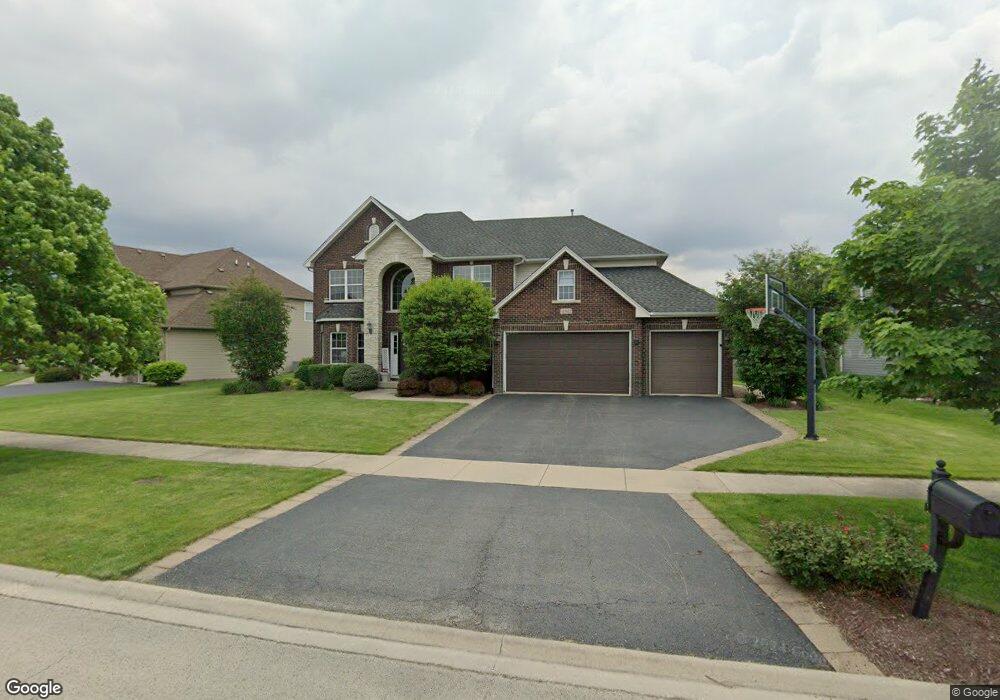
480 Bloomfield Cir W Oswego, IL 60543
South Oswego NeighborhoodEstimated Value: $582,298 - $635,000
4
Beds
3
Baths
3,022
Sq Ft
$200/Sq Ft
Est. Value
About This Home
This home is located at 480 Bloomfield Cir W, Oswego, IL 60543 and is currently estimated at $603,325, approximately $199 per square foot. 480 Bloomfield Cir W is a home located in Kendall County with nearby schools including Southbury Elementary School, Traughber Junior High School, and Oswego High School.
Ownership History
Date
Name
Owned For
Owner Type
Purchase Details
Closed on
Mar 15, 2007
Sold by
Mccue Builders Inc
Bought by
Tweedy Robert J and Tweedy Sandra M
Current Estimated Value
Home Financials for this Owner
Home Financials are based on the most recent Mortgage that was taken out on this home.
Original Mortgage
$89,400
Interest Rate
6.03%
Mortgage Type
Balloon
Create a Home Valuation Report for This Property
The Home Valuation Report is an in-depth analysis detailing your home's value as well as a comparison with similar homes in the area
Home Values in the Area
Average Home Value in this Area
Purchase History
| Date | Buyer | Sale Price | Title Company |
|---|---|---|---|
| Tweedy Robert J | $447,500 | None Available |
Source: Public Records
Mortgage History
| Date | Status | Borrower | Loan Amount |
|---|---|---|---|
| Closed | Tweedy Robert J | $89,400 | |
| Open | Tweedy Robert J | $357,800 |
Source: Public Records
Tax History Compared to Growth
Tax History
| Year | Tax Paid | Tax Assessment Tax Assessment Total Assessment is a certain percentage of the fair market value that is determined by local assessors to be the total taxable value of land and additions on the property. | Land | Improvement |
|---|---|---|---|---|
| 2024 | $13,489 | $173,626 | $30,192 | $143,434 |
| 2023 | $12,659 | $156,420 | $27,200 | $129,220 |
| 2022 | $12,659 | $146,187 | $25,421 | $120,766 |
| 2021 | $12,222 | $136,623 | $23,758 | $112,865 |
| 2020 | $11,612 | $128,889 | $22,413 | $106,476 |
| 2019 | $11,595 | $126,790 | $22,413 | $104,377 |
| 2018 | $11,596 | $121,750 | $21,522 | $100,228 |
| 2017 | $11,621 | $119,363 | $21,100 | $98,263 |
| 2016 | $11,663 | $118,137 | $27,095 | $91,042 |
| 2015 | $11,278 | $109,386 | $25,088 | $84,298 |
| 2014 | -- | $109,386 | $25,088 | $84,298 |
| 2013 | -- | $109,386 | $25,088 | $84,298 |
Source: Public Records
Map
Nearby Homes
- 80 Stonehill Rd
- 94 Templeton Dr
- 210 Dorset Ave
- 748 Juniper St
- 809 Canton Dr
- 706 Springside Ct
- 639 Vista Dr
- 318 Monica Ln
- 2489 Semillon St
- 2486 Semillon St
- 2319 Hirsch Dr
- 612 Murdock Place
- 2492 Semillon St
- 2259 Riesling Rd
- 2255 Riesling Rd
- 2253 Riesling Rd
- 2501 Semillon St
- 2257 Riesling Rd
- 2251 Riesling Rd
- 6115 Rt 34
- 482 Bloomfield Cir W
- 478 Bloomfield Cir W
- 210 Redding Ct
- 484 Bloomfield Cir W
- 476 Bloomfield Cir W
- 211 Redding Ct
- 475 Bloomfield Cir W
- 473 Bloomfield Cir W
- 477 W Bloomfield Lot#19 Cir
- 208 Redding Ct
- 474 Bloomfield Cir W
- 486 Bloomfield Cir W
- 471 Bloomfield Cir W
- 479 Bloomfield Cir W
- 209 Redding Ct
- 481 Bloomfield Cir W
- 472 Bloomfield Cir W
- 488 Bloomfield Cir W
- 206 Redding Ct
- 490 Bloomfield Cir W