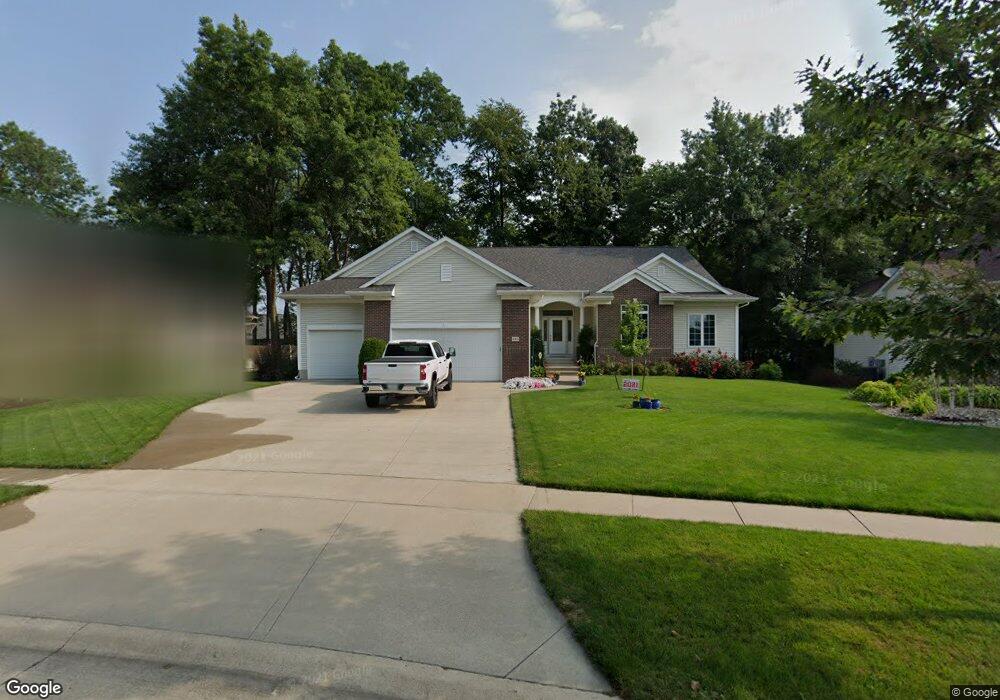
480 Brougham Rd Robins, IA 52328
Estimated Value: $469,000 - $515,000
5
Beds
5
Baths
2,227
Sq Ft
$218/Sq Ft
Est. Value
About This Home
This home is located at 480 Brougham Rd, Robins, IA 52328 and is currently estimated at $485,815, approximately $218 per square foot. 480 Brougham Rd is a home located in Linn County with nearby schools including Echo Hill Elementary School, Oak Ridge School, and Linn-Mar High School.
Ownership History
Date
Name
Owned For
Owner Type
Purchase Details
Closed on
Mar 17, 2003
Sold by
Gangestad Matthew B and Gangestad Laura J
Bought by
Radack David J and Radack Dawn M
Current Estimated Value
Home Financials for this Owner
Home Financials are based on the most recent Mortgage that was taken out on this home.
Original Mortgage
$262,777
Outstanding Balance
$113,627
Interest Rate
5.96%
Estimated Equity
$372,188
Purchase Details
Closed on
Mar 7, 2000
Sold by
Koski Melvin J and Koski Judith A
Bought by
Gangestad Matthew B and Gangestad Laura J
Home Financials for this Owner
Home Financials are based on the most recent Mortgage that was taken out on this home.
Original Mortgage
$206,400
Interest Rate
8.26%
Mortgage Type
Construction
Purchase Details
Closed on
Jun 1, 1999
Sold by
Zeran Roger W
Bought by
Koski Melvin J and Koski Judith A
Create a Home Valuation Report for This Property
The Home Valuation Report is an in-depth analysis detailing your home's value as well as a comparison with similar homes in the area
Home Values in the Area
Average Home Value in this Area
Purchase History
| Date | Buyer | Sale Price | Title Company |
|---|---|---|---|
| Radack David J | $307,000 | -- | |
| Gangestad Matthew B | $40,000 | -- | |
| Koski Melvin J | -- | -- |
Source: Public Records
Mortgage History
| Date | Status | Borrower | Loan Amount |
|---|---|---|---|
| Open | Radack David J | $262,777 | |
| Previous Owner | Gangestad Matthew B | $206,400 | |
| Closed | Radack David J | $40,380 |
Source: Public Records
Tax History
| Year | Tax Paid | Tax Assessment Tax Assessment Total Assessment is a certain percentage of the fair market value that is determined by local assessors to be the total taxable value of land and additions on the property. | Land | Improvement |
|---|---|---|---|---|
| 2025 | $6,922 | $461,600 | $51,400 | $410,200 |
| 2024 | $6,550 | $460,200 | $51,400 | $408,800 |
| 2023 | $6,550 | $460,200 | $51,400 | $408,800 |
| 2022 | $6,798 | $394,100 | $51,400 | $342,700 |
| 2021 | $6,668 | $394,100 | $51,400 | $342,700 |
| 2020 | $6,668 | $361,300 | $51,400 | $309,900 |
| 2019 | $6,270 | $341,100 | $51,400 | $289,700 |
Source: Public Records
Map
Nearby Homes
- 0 Maple St
- 9124 Grand Oaks Dr NE
- 8932 Norway Dr NE
- 8926 Norway Dr NE
- 165 Timber Ln
- 70.78 Acres M L Quass Rd
- 8608 Flatbush Ct NE
- 804 Palmyra Dr NE
- Lot 9 Kervin Ct
- Lot 10 Kervin Ct
- 3230 N Center Point Rd Unit Lot 3
- 8201 Council St NE
- 929 Messina Dr NE
- 207 Meadows Field Dr NE
- 1110 Capri Dr NE
- 222 Mccarran Ave NE
- 226 Mccarran Ave NE
- 5466 Silver Ridge Rd
- 219 Mccarran Ave NE
- 8806 Zeppelin Ave
- 490 Brougham Rd
- 470 Brougham Rd
- 1590 Maple St
- 500 Brougham Rd
- 1570 Maple St
- 445 Brougham Rd
- 1610 Maple St
- 460 Brougham Rd
- 495 Brougham Rd
- 510 Brougham Rd
- 1550 Maple St
- 450 Brougham Rd
- 505 Brougham Rd
- 435 Brougham Rd
- 1650 Maple St
- 440 Phaeton Dr
- 440 Brougham Rd
- 500 Chestnut Dr
- 520 Brougham Rd
- 1500 Maple St
Your Personal Tour Guide
Ask me questions while you tour the home.