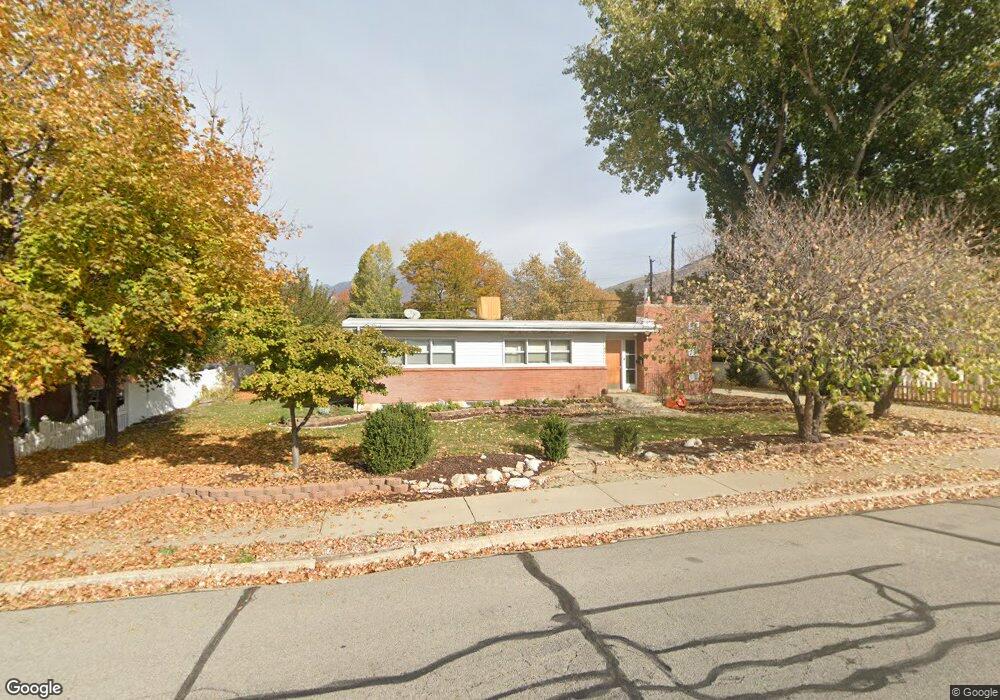
481 E 2875 N Provo, UT 84604
Rock Canyon NeighborhoodEstimated Value: $500,000 - $542,000
4
Beds
2
Baths
2,188
Sq Ft
$237/Sq Ft
Est. Value
About This Home
This home is located at 481 E 2875 N, Provo, UT 84604 and is currently estimated at $519,586, approximately $237 per square foot. 481 E 2875 N is a home located in Utah County with nearby schools including Rock Canyon Elementary School, Centennial Middle School, and Timpview High School.
Ownership History
Date
Name
Owned For
Owner Type
Purchase Details
Closed on
Nov 3, 2021
Sold by
Pope Karl T and Pope Connie L
Bought by
Karl T Pope Family Inter Vivos Revocable Trus
Current Estimated Value
Purchase Details
Closed on
Jul 16, 2020
Sold by
Ancell Matthew G
Bought by
Pope Karl T and Pope Connie L
Home Financials for this Owner
Home Financials are based on the most recent Mortgage that was taken out on this home.
Original Mortgage
$265,500
Interest Rate
3.1%
Mortgage Type
New Conventional
Purchase Details
Closed on
Jan 5, 2008
Sold by
Murdock Michael G and Murdock Setsu
Bought by
Ancell Matthew G
Home Financials for this Owner
Home Financials are based on the most recent Mortgage that was taken out on this home.
Original Mortgage
$204,500
Interest Rate
6.05%
Mortgage Type
Purchase Money Mortgage
Purchase Details
Closed on
Dec 21, 1998
Sold by
Allen Mary Anna
Bought by
Murdock Michael G and Murdock Setsu
Home Financials for this Owner
Home Financials are based on the most recent Mortgage that was taken out on this home.
Original Mortgage
$128,150
Interest Rate
6.91%
Create a Home Valuation Report for This Property
The Home Valuation Report is an in-depth analysis detailing your home's value as well as a comparison with similar homes in the area
Home Values in the Area
Average Home Value in this Area
Purchase History
| Date | Buyer | Sale Price | Title Company |
|---|---|---|---|
| Karl T Pope Family Inter Vivos Revocable Trus | -- | None Listed On Document | |
| Pope Karl T | -- | Title Guarantee River Park | |
| Ancell Matthew G | -- | Bonneville Superior Af | |
| Murdock Michael G | -- | Empire Land Title Company |
Source: Public Records
Mortgage History
| Date | Status | Borrower | Loan Amount |
|---|---|---|---|
| Previous Owner | Pope Karl T | $265,500 | |
| Previous Owner | Ancell Matthew G | $204,500 | |
| Previous Owner | Murdock Michael G | $128,150 |
Source: Public Records
Tax History
| Year | Tax Paid | Tax Assessment Tax Assessment Total Assessment is a certain percentage of the fair market value that is determined by local assessors to be the total taxable value of land and additions on the property. | Land | Improvement |
|---|---|---|---|---|
| 2025 | $2,427 | $255,585 | -- | -- |
| 2024 | $2,427 | $238,920 | $0 | $0 |
| 2023 | $2,322 | $225,335 | $0 | $0 |
| 2022 | $2,309 | $225,885 | $0 | $0 |
| 2021 | $1,798 | $306,900 | $166,600 | $140,300 |
| 2020 | $1,727 | $276,300 | $138,800 | $137,500 |
| 2019 | $1,637 | $272,400 | $138,800 | $133,600 |
| 2018 | $1,450 | $244,600 | $128,400 | $116,200 |
| 2017 | $1,351 | $125,290 | $0 | $0 |
| 2016 | $1,332 | $115,115 | $0 | $0 |
| 2015 | $1,259 | $110,000 | $0 | $0 |
| 2014 | $1,099 | $100,045 | $0 | $0 |
Source: Public Records
Map
Nearby Homes
- 2774 N 370 E
- 3025 N 250 E
- 758 E 3030 N
- 788 E 2680 N
- 2735 N Country Club Dr
- 3129 Cherokee Ln
- 3013 N 100 W
- 3057 N 100 W
- 5600 N Canyon Rd
- 3221 Shadowbrook Cir
- 2999 N Marrcrest West Dr
- 2939 N Marrcrest Dr W
- 3305 N Shadowbrook Cir
- 111 Candlewood Place
- 3240 Shadowbrook Dr
- 2254 N 390 E
- 1108 E 2620 N
- 3250 Mohawk Ln
- 240 E 2230 N Unit 7
- 3711 N Canyon Rd
Your Personal Tour Guide
Ask me questions while you tour the home.