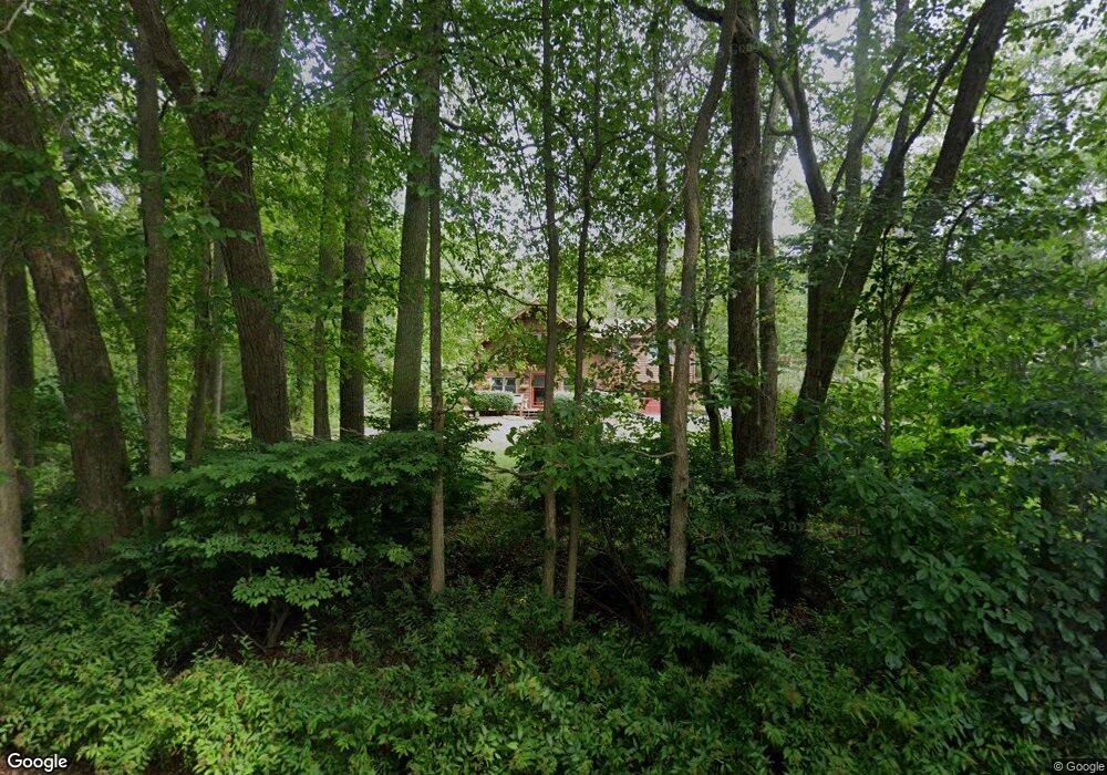
481 Snuff Mill Rd Saunderstown, RI 02874
Saunderstown NeighborhoodEstimated Value: $669,403 - $895,000
3
Beds
2
Baths
1,540
Sq Ft
$491/Sq Ft
Est. Value
About This Home
This home is located at 481 Snuff Mill Rd, Saunderstown, RI 02874 and is currently estimated at $755,851, approximately $490 per square foot. 481 Snuff Mill Rd is a home located in Washington County with nearby schools including Hamilton Elementary School, Wickford Middle School, and North Kingstown Sr. High School.
Ownership History
Date
Name
Owned For
Owner Type
Purchase Details
Closed on
Dec 29, 1999
Sold by
Pescosolido Robert J
Bought by
Aylward William M and Aylward Joyce A
Current Estimated Value
Create a Home Valuation Report for This Property
The Home Valuation Report is an in-depth analysis detailing your home's value as well as a comparison with similar homes in the area
Home Values in the Area
Average Home Value in this Area
Purchase History
| Date | Buyer | Sale Price | Title Company |
|---|---|---|---|
| Aylward William M | $82,000 | -- |
Source: Public Records
Mortgage History
| Date | Status | Borrower | Loan Amount |
|---|---|---|---|
| Open | Aylward William M | $115,000 | |
| Closed | Aylward William M | $32,000 | |
| Closed | Aylward William M | $20,000 |
Source: Public Records
Tax History Compared to Growth
Tax History
| Year | Tax Paid | Tax Assessment Tax Assessment Total Assessment is a certain percentage of the fair market value that is determined by local assessors to be the total taxable value of land and additions on the property. | Land | Improvement |
|---|---|---|---|---|
| 2025 | $6,749 | $611,300 | $289,000 | $322,300 |
| 2024 | $7,143 | $498,100 | $240,600 | $257,500 |
| 2023 | $7,143 | $498,100 | $240,600 | $257,500 |
| 2022 | $7,003 | $498,100 | $240,600 | $257,500 |
| 2021 | $6,330 | $361,700 | $149,400 | $212,300 |
| 2020 | $6,181 | $361,700 | $149,400 | $212,300 |
| 2019 | $6,181 | $361,700 | $149,400 | $212,300 |
| 2018 | $5,773 | $304,300 | $143,900 | $160,400 |
| 2017 | $5,657 | $304,300 | $143,900 | $160,400 |
| 2016 | $5,496 | $304,300 | $143,900 | $160,400 |
| 2015 | $5,495 | $284,700 | $143,900 | $140,800 |
| 2014 | $5,384 | $284,700 | $143,900 | $140,800 |
Source: Public Records
Map
Nearby Homes
- 2180 Tower Hill Rd
- 2424 Tower Hill Rd
- 10 Highland Rd
- 47 Wake Robin Trail
- 73 Oceanwoods Dr
- 49 Meadow Sweet Trail
- 127 Oceanwoods Dr
- 46 Hillside Ct
- 65 Village Hill Ln
- 66 Essex Manor Ln
- 297 Walmsley Ln
- 51 Salisbury Ave
- 12 Overlook Rd
- 18 Lakeview Dr
- 416 Bridgetown Rd
- 137 Bonnet Shores Rd
- 51 Osceola Ave
- 55 Bonnet Shores Rd
- 121 Seaside Dr
- 480 Boston Neck Rd
- 465 Snuff Mill Rd
- 447 Snuff Mill Rd
- 750 Gilbert Stuart Rd
- 425 Snuff Mill Rd
- 761 Gilbert Ln
- 761 Gilbert Stuart Rd
- 790 Gilbert Stuart Rd
- 385 Snuff Mill Rd
- 710 Gilbert Stuart Rd
- 735 Gilbert Stuart Rd
- 514 Snuff Mill Rd
- 386 Snuff Mill Rd
- 690 Gilbert Stuart Rd
- 703 Gilbert Stuart Rd
- 368 Snuff Mill Rd
- 48 Skating Pond Ln
- 950 Gilbert Stuart Rd
- 671 Gilbert Stuart Rd
- 658 Gilbert Stuart Rd
- 350 Snuff Mill Rd