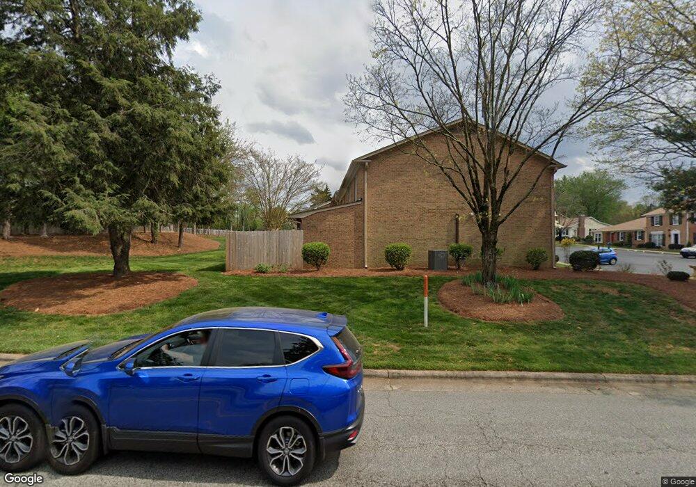
4811 Tower Rd Unit A Greensboro, NC 27410
Hamilton Hills NeighborhoodEstimated Value: $189,971 - $201,000
2
Beds
1
Bath
1,056
Sq Ft
$184/Sq Ft
Est. Value
About This Home
This home is located at 4811 Tower Rd Unit A, Greensboro, NC 27410 and is currently estimated at $194,743, approximately $184 per square foot. 4811 Tower Rd Unit A is a home located in Guilford County with nearby schools including Jefferson Elementary School, Western Guilford Middle School, and Western Guilford High School.
Ownership History
Date
Name
Owned For
Owner Type
Purchase Details
Closed on
May 30, 2014
Sold by
Hankins Cheryl Joanne and Cagle Christopher Jon
Bought by
Bancroft Michael and Bancroft Cheryleen Hite
Current Estimated Value
Home Financials for this Owner
Home Financials are based on the most recent Mortgage that was taken out on this home.
Original Mortgage
$93,100
Outstanding Balance
$71,132
Interest Rate
4.32%
Mortgage Type
New Conventional
Estimated Equity
$123,611
Purchase Details
Closed on
Oct 13, 2011
Sold by
Hankins Mickey W
Bought by
Hankins Cheryl Joanne
Home Financials for this Owner
Home Financials are based on the most recent Mortgage that was taken out on this home.
Original Mortgage
$64,000
Interest Rate
4.26%
Mortgage Type
New Conventional
Purchase Details
Closed on
May 25, 2011
Sold by
Goller John Howard and Goller Jenelle S
Bought by
Hankins Mickey W
Create a Home Valuation Report for This Property
The Home Valuation Report is an in-depth analysis detailing your home's value as well as a comparison with similar homes in the area
Home Values in the Area
Average Home Value in this Area
Purchase History
| Date | Buyer | Sale Price | Title Company |
|---|---|---|---|
| Bancroft Michael | $98,000 | None Available | |
| Hankins Cheryl Joanne | $80,000 | None Available | |
| Hankins Mickey W | $65,500 | None Available |
Source: Public Records
Mortgage History
| Date | Status | Borrower | Loan Amount |
|---|---|---|---|
| Open | Bancroft Michael | $93,100 | |
| Previous Owner | Hankins Cheryl Joanne | $64,000 |
Source: Public Records
Tax History Compared to Growth
Tax History
| Year | Tax Paid | Tax Assessment Tax Assessment Total Assessment is a certain percentage of the fair market value that is determined by local assessors to be the total taxable value of land and additions on the property. | Land | Improvement |
|---|---|---|---|---|
| 2025 | $1,771 | $126,200 | $28,500 | $97,700 |
| 2024 | $1,771 | $126,200 | $28,500 | $97,700 |
| 2023 | $1,771 | $126,200 | $28,500 | $97,700 |
| 2022 | $1,720 | $126,200 | $28,500 | $97,700 |
| 2021 | $1,251 | $89,800 | $20,000 | $69,800 |
| 2020 | $1,251 | $89,800 | $20,000 | $69,800 |
| 2019 | $1,251 | $89,800 | $0 | $0 |
| 2018 | $1,215 | $89,800 | $0 | $0 |
| 2017 | $1,215 | $89,800 | $0 | $0 |
| 2016 | $1,203 | $86,900 | $0 | $0 |
| 2015 | $1,210 | $86,900 | $0 | $0 |
| 2014 | $1,219 | $86,900 | $0 | $0 |
Source: Public Records
Map
Nearby Homes
- 424 Muirs Chapel Rd Unit 7
- 4824 Tower Rd Unit B
- 4847 Tower Rd Unit D
- 4919 Kenview St
- 2618 Westell Way
- 2620 Westell Way
- 202 Ahava Way
- 4710 Westwood Rd
- 2633 Westell Way
- 2635 Westell Way
- 200 Ahava Way
- Cosmos Plan at Magnolia Ridge
- 808 Meade Dr
- 5000 Tower Rd Unit B
- 5009 Tower Rd Unit B
- 100 Thornton Ct Unit H
- 712 Beckwith Dr
- 5306 Guida Dr
- 4809 Tara Dr
- 4601 Graham Rd
- 4811 Tower Rd
- 4811 Tower Rd Unit D
- 4811 Tower Rd Unit C
- 4811 Tower Rd Unit B
- 4809 Tower Rd Unit D
- 4809 Tower Rd Unit C
- 4809 Tower Rd Unit B
- 4809 Tower Rd Unit A
- 4809 Tower Rd
- 4819 Tower Rd
- 4819 Tower Rd Unit D
- 4819 Tower Rd Unit C
- 4819 Tower Rd Unit B
- 4819 Tower Rd Unit A
- 4819 Tower Rd Unit C
- 4817 Tower Rd
- 4817 Tower Rd Unit C
- 4817 Tower Rd Unit B
- 4817 Tower Rd Unit A
- 4817 Tower Rd Unit E