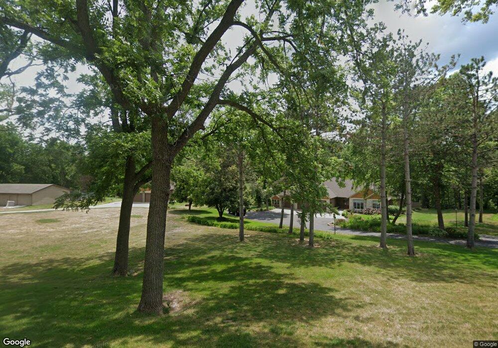
4813 Mill Rd Red Wing, MN 55066
Estimated Value: $547,000 - $703,000
5
Beds
3
Baths
2,706
Sq Ft
$225/Sq Ft
Est. Value
About This Home
This home is located at 4813 Mill Rd, Red Wing, MN 55066 and is currently estimated at $608,790, approximately $224 per square foot. 4813 Mill Rd is a home located in Goodhue County with nearby schools including Burnside Elementary School, Sunnyside Elementary School, and Twin Bluff Middle School.
Ownership History
Date
Name
Owned For
Owner Type
Purchase Details
Closed on
Sep 28, 2020
Sold by
Roberts Rebecca and Estate Of Edythe Elaine Walker
Bought by
Grimes Aaron L
Current Estimated Value
Home Financials for this Owner
Home Financials are based on the most recent Mortgage that was taken out on this home.
Original Mortgage
$275,000
Outstanding Balance
$244,598
Interest Rate
2.9%
Mortgage Type
New Conventional
Estimated Equity
$364,192
Purchase Details
Closed on
Dec 6, 2019
Sold by
Byrne Keegan J and Byrne Raway
Bought by
Roberts Walker
Purchase Details
Closed on
Dec 5, 2019
Sold by
Byrne Briana L
Bought by
Roberts Walker
Purchase Details
Closed on
Apr 21, 2016
Sold by
Christiansen Conrad and Christiansen Mette Biering
Bought by
Byrne Keegan J and Byrne Briana L
Purchase Details
Closed on
Sep 23, 2011
Sold by
Federal National Mortgage Association
Bought by
Biering Metter
Create a Home Valuation Report for This Property
The Home Valuation Report is an in-depth analysis detailing your home's value as well as a comparison with similar homes in the area
Home Values in the Area
Average Home Value in this Area
Purchase History
| Date | Buyer | Sale Price | Title Company |
|---|---|---|---|
| Grimes Aaron L | $375,000 | None Available | |
| Roberts Walker | $177,500 | None Available | |
| Roberts Walker | $177,500 | None Available | |
| Byrne Keegan J | $296,000 | Goodhue County Abstract | |
| Biering Metter | $200,000 | -- |
Source: Public Records
Mortgage History
| Date | Status | Borrower | Loan Amount |
|---|---|---|---|
| Open | Grimes Aaron L | $275,000 |
Source: Public Records
Tax History
| Year | Tax Paid | Tax Assessment Tax Assessment Total Assessment is a certain percentage of the fair market value that is determined by local assessors to be the total taxable value of land and additions on the property. | Land | Improvement |
|---|---|---|---|---|
| 2025 | $7,632 | $560,600 | $115,400 | $445,200 |
| 2024 | $7,632 | $552,000 | $115,400 | $436,600 |
| 2023 | $7,392 | $523,300 | $115,400 | $407,900 |
| 2022 | $6,690 | $518,600 | $113,800 | $404,800 |
| 2021 | $6,158 | $447,300 | $113,800 | $333,500 |
| 2020 | $6,156 | $417,100 | $113,800 | $303,300 |
| 2019 | $6,162 | $390,600 | $113,800 | $276,800 |
| 2018 | $4,974 | $395,200 | $113,800 | $281,400 |
| 2017 | $4,834 | $342,400 | $105,900 | $236,500 |
| 2016 | $4,488 | $337,400 | $105,900 | $231,500 |
| 2015 | $4,360 | $328,900 | $105,900 | $223,000 |
| 2014 | -- | $310,100 | $105,900 | $204,200 |
Source: Public Records
Map
Nearby Homes
- 1056 Birch Ave
- 921 Snowbird Dr
- 914 Snowbird Dr
- 910 Snowbird Dr
- 4958 Chalet Ct
- 4739 Big Sky Ct
- 912 Aurora Cir
- 853 Aurora Cir
- 980 Aurora Cir
- 133 Kingswood Dr
- 135 Kingswood Dr
- 237 Butternut Ave
- 5542 Cannon Dale Ct
- 3429 Helen Ln
- 186 Sargent Dr
- 210 Sargent Dr Unit 103
- 113 Burnside Ave S
- 1125 Hewitt Blvd
- 374 Westwood South St
- 2820 N Service Dr
Your Personal Tour Guide
Ask me questions while you tour the home.