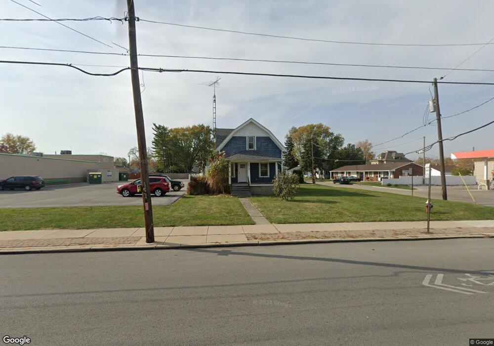
4813 N Summit St Toledo, OH 43611
Point Place NeighborhoodEstimated Value: $129,000 - $157,000
3
Beds
1
Bath
1,208
Sq Ft
$117/Sq Ft
Est. Value
About This Home
This home is located at 4813 N Summit St, Toledo, OH 43611 and is currently estimated at $141,626, approximately $117 per square foot. 4813 N Summit St is a home located in Lucas County with nearby schools including Ottawa River Elementary School, Woodward High School, and Imagine Environmental Science Academy.
Ownership History
Date
Name
Owned For
Owner Type
Purchase Details
Closed on
Oct 3, 2003
Sold by
Huven Karen S
Bought by
Sprott Michael J
Current Estimated Value
Home Financials for this Owner
Home Financials are based on the most recent Mortgage that was taken out on this home.
Original Mortgage
$64,000
Interest Rate
6.49%
Mortgage Type
Purchase Money Mortgage
Purchase Details
Closed on
Jun 7, 2002
Sold by
Oberly James A
Bought by
Huven Karen S
Home Financials for this Owner
Home Financials are based on the most recent Mortgage that was taken out on this home.
Original Mortgage
$71,931
Interest Rate
6.87%
Mortgage Type
FHA
Purchase Details
Closed on
Feb 18, 1997
Sold by
Torgler Robert W
Bought by
Oberly James A and Oberly Diane
Create a Home Valuation Report for This Property
The Home Valuation Report is an in-depth analysis detailing your home's value as well as a comparison with similar homes in the area
Home Values in the Area
Average Home Value in this Area
Purchase History
| Date | Buyer | Sale Price | Title Company |
|---|---|---|---|
| Sprott Michael J | $80,000 | Louisville Title Agency For | |
| Huven Karen S | $72,500 | Northwest Title Agency Of Oh | |
| Oberly James A | $55,000 | -- |
Source: Public Records
Mortgage History
| Date | Status | Borrower | Loan Amount |
|---|---|---|---|
| Previous Owner | Sprott Michael J | $64,000 | |
| Previous Owner | Huven Karen S | $71,931 |
Source: Public Records
Tax History Compared to Growth
Tax History
| Year | Tax Paid | Tax Assessment Tax Assessment Total Assessment is a certain percentage of the fair market value that is determined by local assessors to be the total taxable value of land and additions on the property. | Land | Improvement |
|---|---|---|---|---|
| 2024 | $1,128 | $34,335 | $7,490 | $26,845 |
| 2023 | $2,252 | $27,265 | $6,825 | $20,440 |
| 2022 | $1,908 | $27,265 | $6,825 | $20,440 |
| 2021 | $1,936 | $27,265 | $6,825 | $20,440 |
| 2020 | $1,852 | $22,365 | $5,600 | $16,765 |
| 2019 | $1,788 | $22,365 | $5,600 | $16,765 |
| 2018 | $1,732 | $22,365 | $5,600 | $16,765 |
| 2017 | $1,639 | $19,110 | $5,705 | $13,405 |
| 2016 | $1,664 | $54,600 | $16,300 | $38,300 |
| 2015 | $1,657 | $54,600 | $16,300 | $38,300 |
| 2014 | $1,202 | $19,120 | $5,710 | $13,410 |
| 2013 | $1,202 | $19,120 | $5,710 | $13,410 |
Source: Public Records
Map
Nearby Homes