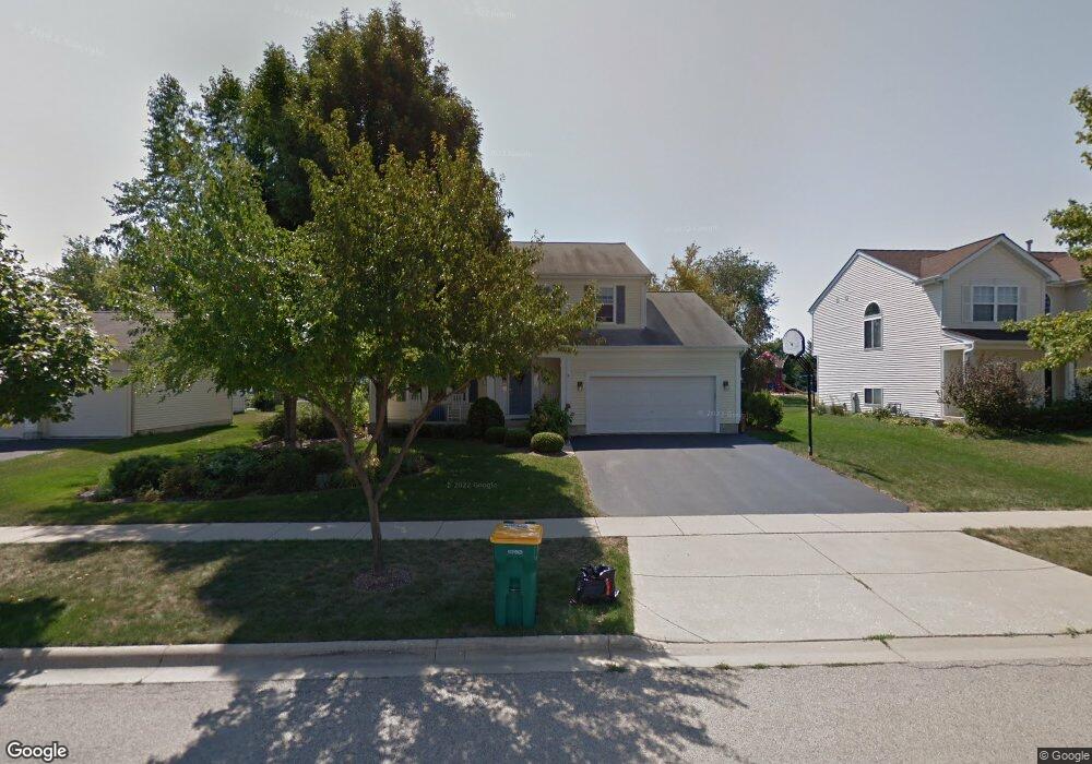
4819 Joyce Ln McHenry, IL 60050
Estimated Value: $404,282 - $472,000
Studio
3
Baths
2,556
Sq Ft
$169/Sq Ft
Est. Value
About This Home
This home is located at 4819 Joyce Ln, McHenry, IL 60050 and is currently estimated at $432,071, approximately $169 per square foot. 4819 Joyce Ln is a home located in McHenry County with nearby schools including Riverwood Elementary School, Parkland School, and Montini Catholic School.
Ownership History
Date
Name
Owned For
Owner Type
Purchase Details
Closed on
Nov 19, 1999
Sold by
Windsor Development Corp
Bought by
Mcnaughton Timothy R and Mcnaughton Darlene R
Current Estimated Value
Home Financials for this Owner
Home Financials are based on the most recent Mortgage that was taken out on this home.
Original Mortgage
$166,000
Outstanding Balance
$51,182
Interest Rate
7.88%
Estimated Equity
$380,889
Purchase Details
Closed on
Sep 3, 1999
Sold by
Park Ridge Estates
Bought by
Windsor Development Corp
Create a Home Valuation Report for This Property
The Home Valuation Report is an in-depth analysis detailing your home's value as well as a comparison with similar homes in the area
Home Values in the Area
Average Home Value in this Area
Purchase History
| Date | Buyer | Sale Price | Title Company |
|---|---|---|---|
| Mcnaughton Timothy R | $221,000 | Chicago Title Insurance Co | |
| Windsor Development Corp | -- | Chicago Title |
Source: Public Records
Mortgage History
| Date | Status | Borrower | Loan Amount |
|---|---|---|---|
| Open | Mcnaughton Timothy R | $166,000 |
Source: Public Records
Tax History
| Year | Tax Paid | Tax Assessment Tax Assessment Total Assessment is a certain percentage of the fair market value that is determined by local assessors to be the total taxable value of land and additions on the property. | Land | Improvement |
|---|---|---|---|---|
| 2024 | $8,875 | $120,909 | $17,601 | $103,308 |
| 2023 | $9,267 | $108,322 | $15,769 | $92,553 |
| 2022 | $8,976 | $100,493 | $14,629 | $85,864 |
| 2021 | $8,569 | $93,587 | $13,624 | $79,963 |
| 2020 | $8,287 | $89,686 | $13,056 | $76,630 |
| 2019 | $8,163 | $85,164 | $12,398 | $72,766 |
| 2018 | $9,240 | $86,630 | $12,612 | $74,018 |
| 2017 | $8,889 | $81,305 | $11,837 | $69,468 |
| 2016 | $8,607 | $75,986 | $11,063 | $64,923 |
| 2013 | -- | $65,143 | $11,840 | $53,303 |
Source: Public Records
Map
Nearby Homes
- 110 N Ashland Dr
- 5213 W Greenbrier Dr
- 5220 Cobblers Crossing Unit 223
- 5309 Cobblers Crossing
- 304 Whitaker Trail Unit 24
- 5401 W Winding Creek Dr
- 5198 Bull Valley Rd
- 4809 W Oakwood Dr Unit A
- 606 Waters Edge Dr Unit A
- 4712 W Oakwood Dr Unit 4
- Lot 48-53 Ridgeview Dr
- 5837 Fieldstone Trail Unit 5837
- 4602 W Northfox Ln Unit 7
- 4314 W Shamrock Ln Unit 2D
- 900 Yorktown St
- 4302 W Shamrock Ln Unit 2G
- 822 Hanson Ave
- 4301 W Shamrock Ln Unit 2D
- 3904 Grove Ave
- 1105 Somerset Mall
- 4821 Joyce Ln
- 4817 Joyce Ln
- 4823 Joyce Ln
- 4831 Loyola Dr
- 4815 Joyce Ln
- 103 N Cross Trail
- 4827 Joyce Ln
- 4827 Loyola Dr
- 4828 Joyce Ln
- 105 N Cross Trail
- 4813 Joyce Ln
- 4823 Loyola Dr
- 4829 Joyce Ln
- 4764 Oregon Trail
- 4824 Loyola Dr
- 4812 Joyce Ln
- 102 Oakton St
- 4809 Joyce Ln
- 4819 Loyola Dr
- 107 N Cross Trail
Your Personal Tour Guide
Ask me questions while you tour the home.