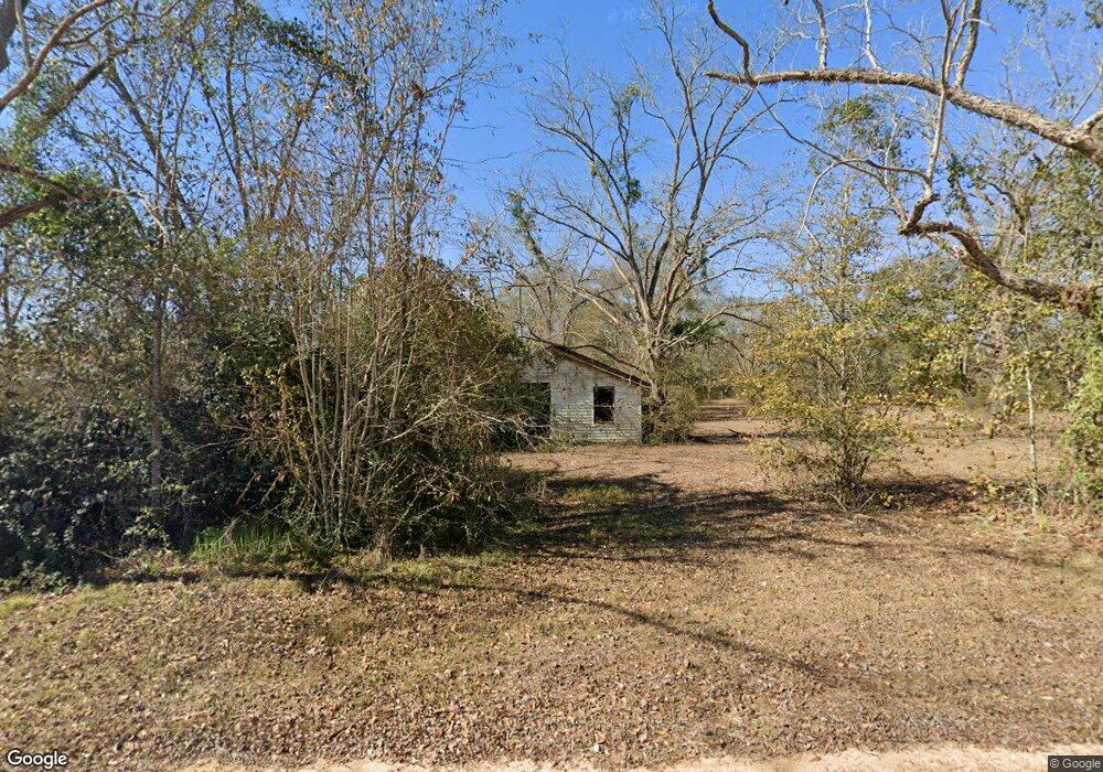
482 Wesley Chapel Rd Moultrie, GA 31788
Estimated Value: $50,513 - $154,000
--
Bed
1
Bath
1,116
Sq Ft
$95/Sq Ft
Est. Value
About This Home
This home is located at 482 Wesley Chapel Rd, Moultrie, GA 31788 and is currently estimated at $106,128, approximately $95 per square foot. 482 Wesley Chapel Rd is a home located in Colquitt County with nearby schools including Odom Elementary School, Willie J. Williams Middle School, and C.A. Gray Junior High School.
Ownership History
Date
Name
Owned For
Owner Type
Purchase Details
Closed on
May 18, 2005
Sold by
Watson Dorothy Davis - L
Bought by
Bell John L
Current Estimated Value
Home Financials for this Owner
Home Financials are based on the most recent Mortgage that was taken out on this home.
Original Mortgage
$35,000
Interest Rate
5.74%
Mortgage Type
New Conventional
Purchase Details
Closed on
Nov 9, 1998
Bought by
Watson Dorothy Davis - L
Create a Home Valuation Report for This Property
The Home Valuation Report is an in-depth analysis detailing your home's value as well as a comparison with similar homes in the area
Home Values in the Area
Average Home Value in this Area
Purchase History
| Date | Buyer | Sale Price | Title Company |
|---|---|---|---|
| Bell John L | $22,000 | -- | |
| Watson Dorothy Davis - L | -- | -- |
Source: Public Records
Mortgage History
| Date | Status | Borrower | Loan Amount |
|---|---|---|---|
| Closed | Bell John L | $35,000 |
Source: Public Records
Tax History Compared to Growth
Tax History
| Year | Tax Paid | Tax Assessment Tax Assessment Total Assessment is a certain percentage of the fair market value that is determined by local assessors to be the total taxable value of land and additions on the property. | Land | Improvement |
|---|---|---|---|---|
| 2024 | $188 | $10,349 | $2,309 | $8,040 |
| 2023 | $218 | $8,726 | $2,309 | $6,417 |
| 2022 | $199 | $8,362 | $2,052 | $6,310 |
| 2021 | $181 | $7,440 | $2,052 | $5,388 |
| 2020 | $180 | $7,301 | $2,052 | $5,249 |
| 2019 | $201 | $7,324 | $2,052 | $5,272 |
| 2018 | $187 | $7,324 | $2,052 | $5,272 |
| 2017 | $231 | $8,504 | $3,232 | $5,272 |
| 2016 | $235 | $8,504 | $3,232 | $5,272 |
| 2015 | $237 | $8,504 | $3,232 | $5,272 |
| 2014 | $232 | $8,504 | $3,232 | $5,272 |
| 2013 | -- | $9,323 | $3,232 | $6,091 |
Source: Public Records
Map
Nearby Homes
- 5808 Georgia 133
- 313 Langford St
- 410 Railroad St
- 0 Southerland Ave
- 277 Indian Creek Subdivision
- 1114 Cannon Rd
- 8774 Antioch Rd
- 0 Upper Trail Unit 913421
- 0 Upper Trail Unit 913422
- 2262 Sardis Church Rd
- 5940 Georgia 37
- 0 Burton Rd Unit 23760976
- 0 Burton Rd Unit 23669194
- 182 Horseshoe Dr
- 0 Sardis Church Rd
- 9283 Tallokas Rd Unit 54/13
- 9283 Tallokas Rd
- 124 Flint Dr
- 421 Best Cir
- 132 Tallokas Trail
- 5557 Ga Highway 133 S
- 395 Wesley Chapel Rd
- 335 Wesley Chapel Rd
- 5619 Ga Highway 133 S
- 5619 Georgia 133
- 5611 Georgia 133
- 315 Wesley Chapel Rd
- 301 Wesley Chapel Rd
- 5620 Ga Highway 133 S
- 5660 Ga Highway 133 S
- 5754 Ga Highway 133 S
- 5808 Ga Highway 133 S
- 6503 Ga Highway 133 S
- 6481 Ga Highway 133 S
- 2622 Cannon Rd
- 2622 Cannon Rd
- 2808 Cannon Rd
- 112 N Langford St
- 2638 Cannon Rd
- 315 N Langford St