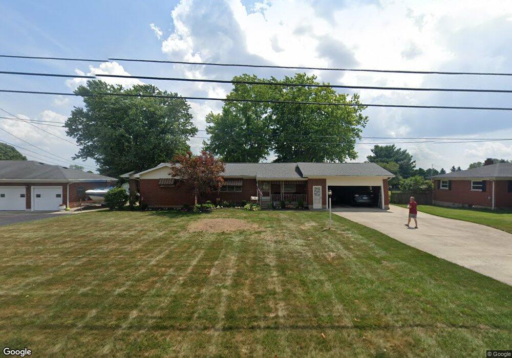
4820 Bosart Rd Springfield, OH 45503
Estimated Value: $270,000 - $315,000
3
Beds
3
Baths
1,488
Sq Ft
$192/Sq Ft
Est. Value
About This Home
This home is located at 4820 Bosart Rd, Springfield, OH 45503 and is currently estimated at $286,090, approximately $192 per square foot. 4820 Bosart Rd is a home located in Clark County with nearby schools including Rolling Hills Elementary School, Northridge Middle School, and Kenton Ridge Middle & High School.
Ownership History
Date
Name
Owned For
Owner Type
Purchase Details
Closed on
Jun 23, 2005
Sold by
Kuhbander Gayle M
Bought by
Saunders Larry D and Saunders Lori L
Current Estimated Value
Home Financials for this Owner
Home Financials are based on the most recent Mortgage that was taken out on this home.
Original Mortgage
$115,000
Interest Rate
5.86%
Mortgage Type
Fannie Mae Freddie Mac
Create a Home Valuation Report for This Property
The Home Valuation Report is an in-depth analysis detailing your home's value as well as a comparison with similar homes in the area
Home Values in the Area
Average Home Value in this Area
Purchase History
| Date | Buyer | Sale Price | Title Company |
|---|---|---|---|
| Saunders Larry D | $158,000 | -- |
Source: Public Records
Mortgage History
| Date | Status | Borrower | Loan Amount |
|---|---|---|---|
| Closed | Saunders Larry D | $115,000 |
Source: Public Records
Tax History Compared to Growth
Tax History
| Year | Tax Paid | Tax Assessment Tax Assessment Total Assessment is a certain percentage of the fair market value that is determined by local assessors to be the total taxable value of land and additions on the property. | Land | Improvement |
|---|---|---|---|---|
| 2024 | $2,690 | $63,620 | $12,920 | $50,700 |
| 2023 | $2,690 | $63,620 | $12,920 | $50,700 |
| 2022 | $2,700 | $63,620 | $12,920 | $50,700 |
| 2021 | $2,810 | $56,100 | $10,680 | $45,420 |
| 2020 | $2,813 | $56,100 | $10,680 | $45,420 |
| 2019 | $2,866 | $56,100 | $10,680 | $45,420 |
| 2018 | $2,773 | $52,110 | $9,820 | $42,290 |
| 2017 | $2,376 | $55,412 | $9,821 | $45,591 |
| 2016 | $2,360 | $55,412 | $9,821 | $45,591 |
| 2015 | $2,486 | $56,266 | $10,675 | $45,591 |
| 2014 | $2,486 | $56,266 | $10,675 | $45,591 |
| 2013 | $2,428 | $56,266 | $10,675 | $45,591 |
Source: Public Records
Map
Nearby Homes
- 4644 Middle Urbana Rd
- 4849 Ashley Dr
- 1709 Thomas Dr
- 4740 Merrimont Ave
- 4321 Tulane Rd
- 4249 Reno Rd
- 3963 Covington Dr Unit 3963
- 4512 Ridgewood Rd E
- 4438 Tacoma St
- 5220 Ridgewood Rd E
- 4446 Ridgewood Rd E Unit 3
- 5127 Stoneridge Dr
- 1640 Montego Dr
- 5249 Taywell Dr
- 4050 Tacoma St
- 1902 Willow Lakes Dr Unit 71
- 1461 Student Ave
- 1888 Birchwood Ct
- 4622 W Ridgewood Rd