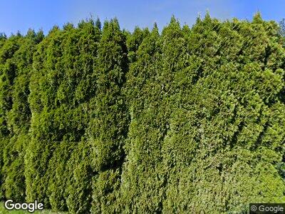
4820 Deming Rd Deming, WA 98244
Deming NeighborhoodEstimated Value: $490,000 - $688,000
3
Beds
2
Baths
2,202
Sq Ft
$261/Sq Ft
Est. Value
About This Home
This home is located at 4820 Deming Rd, Deming, WA 98244 and is currently estimated at $573,906, approximately $260 per square foot. 4820 Deming Rd is a home with nearby schools including Mount Baker Senior High School.
Ownership History
Date
Name
Owned For
Owner Type
Purchase Details
Closed on
Jan 9, 2017
Sold by
Drafs August L
Bought by
Lepper Ronald J and Lepper Trisha L
Current Estimated Value
Purchase Details
Closed on
Feb 7, 2002
Sold by
Drafs August L
Bought by
Lepper Ronald J and Lepper Trisha L
Home Financials for this Owner
Home Financials are based on the most recent Mortgage that was taken out on this home.
Original Mortgage
$148,000
Interest Rate
7.15%
Create a Home Valuation Report for This Property
The Home Valuation Report is an in-depth analysis detailing your home's value as well as a comparison with similar homes in the area
Home Values in the Area
Average Home Value in this Area
Purchase History
| Date | Buyer | Sale Price | Title Company |
|---|---|---|---|
| Lepper Ronald J | -- | None Available | |
| Lepper Ronald J | $160,000 | First American Title Ins Co |
Source: Public Records
Mortgage History
| Date | Status | Borrower | Loan Amount |
|---|---|---|---|
| Previous Owner | Drafs August Lee | $55,000 | |
| Previous Owner | Lepper Ronald J | $148,000 |
Source: Public Records
Tax History Compared to Growth
Tax History
| Year | Tax Paid | Tax Assessment Tax Assessment Total Assessment is a certain percentage of the fair market value that is determined by local assessors to be the total taxable value of land and additions on the property. | Land | Improvement |
|---|---|---|---|---|
| 2024 | $4,047 | $605,740 | $195,000 | $410,740 |
| 2023 | $4,047 | $558,524 | $149,084 | $409,440 |
| 2022 | $3,393 | $446,824 | $119,269 | $327,555 |
| 2021 | $2,852 | $354,630 | $94,660 | $259,970 |
| 2020 | $2,976 | $279,238 | $74,536 | $204,702 |
| 2019 | $2,405 | $279,238 | $74,536 | $204,702 |
| 2018 | $3,000 | $243,514 | $65,000 | $178,514 |
| 2017 | $2,538 | $238,009 | $65,744 | $172,265 |
| 2016 | $2,457 | $214,782 | $59,360 | $155,422 |
| 2015 | $2,262 | $206,439 | $57,960 | $148,479 |
| 2014 | -- | $194,082 | $54,320 | $139,762 |
| 2013 | -- | $203,740 | $56,000 | $147,740 |
Source: Public Records
Map
Nearby Homes
- 0 Mt Baker Hwy Unit NWM2371192
- 0 Mt Baker Hwy Unit NWM2230071
- 5372 Salmon Ridge Ln
- 7019 Mount Baker Hwy
- 5070 Deming Rd
- 0 Finsrud Rd Unit NWM2349199
- 4126 Caron Rd
- 5950 Truck Rd
- 5626 Lawrence Rd
- 5753 Lawrence Rd
- 6170 Rutsatz Rd
- 6260 Rutsatz Rd
- 5960 Bell Creek Logging Rd
- 3655 Siper Ln
- 5763 Mt Baker Hwy
- 5582 Knight Rd
- 3246 Goshen Rd
- 5973 N Fork Rd
- 4918 Sand Rd
- 4688 Sand Rd
- 4820 Deming Rd
- 4804 Deming Rd
- 4824 Deming Rd
- 4836 Deming Rd
- 4838 Deming Rd
- 4850 Deming Rd
- 4778 Deming Rd
- 4773 Deming Rd
- 4840 Deming Rd
- 4895 Deming Rd
- 4738 Deming Rd
- 4737 Deming Rd
- 4854 Mt Baker Hwy
- 5185 Mitchell Rd
- 4722 Deming Rd
- 0 Mt Baker Hwy Unit 1333750
- 0 Mt Baker Hwy Unit 1333749
- 0 Mt Baker Hwy Unit 1283013
- 0 Mt Baker Hwy Unit 1274810
- 0 Mt Baker Hwy Unit 971311
