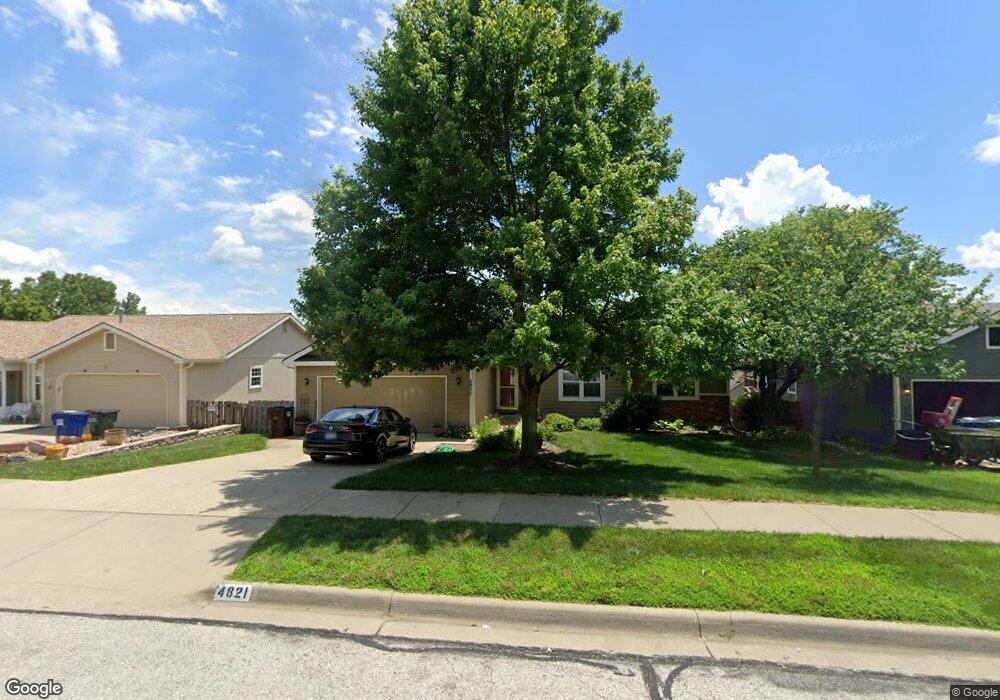
4821 W 25th St Lawrence, KS 66047
Estimated Value: $356,000 - $378,000
4
Beds
3
Baths
2,790
Sq Ft
$131/Sq Ft
Est. Value
About This Home
This home is located at 4821 W 25th St, Lawrence, KS 66047 and is currently estimated at $365,626, approximately $131 per square foot. 4821 W 25th St is a home located in Douglas County with nearby schools including Sunflower Elementary School, Southwest Middle School, and Lawrence High School.
Ownership History
Date
Name
Owned For
Owner Type
Purchase Details
Closed on
Dec 12, 2024
Sold by
Shoemaker Keith Michael
Bought by
Shoemaker John Mclane and Shoemaker Joseph Robert
Current Estimated Value
Purchase Details
Closed on
Jun 20, 2008
Sold by
Oberrieder Michael D and Oberrieder Susan M
Bought by
Fegan Lois A
Home Financials for this Owner
Home Financials are based on the most recent Mortgage that was taken out on this home.
Original Mortgage
$182,050
Interest Rate
6.05%
Mortgage Type
Purchase Money Mortgage
Create a Home Valuation Report for This Property
The Home Valuation Report is an in-depth analysis detailing your home's value as well as a comparison with similar homes in the area
Home Values in the Area
Average Home Value in this Area
Purchase History
| Date | Buyer | Sale Price | Title Company |
|---|---|---|---|
| Shoemaker John Mclane | -- | None Listed On Document | |
| Fegan Lois A | -- | Continental Title Company |
Source: Public Records
Mortgage History
| Date | Status | Borrower | Loan Amount |
|---|---|---|---|
| Previous Owner | Fegan Lois A | $182,050 |
Source: Public Records
Tax History Compared to Growth
Tax History
| Year | Tax Paid | Tax Assessment Tax Assessment Total Assessment is a certain percentage of the fair market value that is determined by local assessors to be the total taxable value of land and additions on the property. | Land | Improvement |
|---|---|---|---|---|
| 2025 | $5,160 | $43,873 | $7,475 | $36,398 |
| 2024 | $5,160 | $41,561 | $7,475 | $34,086 |
| 2023 | $4,953 | $38,514 | $5,520 | $32,994 |
| 2022 | $4,555 | $35,202 | $5,060 | $30,142 |
| 2021 | $3,966 | $29,705 | $4,830 | $24,875 |
| 2020 | $3,755 | $28,290 | $4,830 | $23,460 |
| 2019 | $3,168 | $23,943 | $4,830 | $19,113 |
| 2018 | $2,832 | $21,287 | $4,600 | $16,687 |
| 2017 | $2,818 | $20,942 | $4,600 | $16,342 |
| 2016 | $2,730 | $21,195 | $5,173 | $16,022 |
| 2015 | -- | $20,850 | $5,173 | $15,677 |
| 2014 | -- | $20,091 | $5,173 | $14,918 |
Source: Public Records
Map
Nearby Homes
- 2429 Via Linda Dr
- 2516 Via Linda Dr
- 4712 Mccormick St
- 4955 Stoneback Dr
- 4412 Gretchen Ct
- 4404 W 24th Place
- 2109 Riviera Dr
- 2101 Riviera Dr
- 2615 Red Cedar Dr
- 2100 Inverness Dr
- 4215 Wimbledon Dr
- 4142 Blackjack Oak Dr
- 4206 Nicklaus Dr
- 4709 Carmel Place
- 2018 Crossgate Dr
- 1908 Crossgate Dr
- 1601 Research Park Dr
- 3621 Brush Creek Dr
- 1709 Lake Alvamar Dr
- 1564 Fountain Dr
- 4817 W 25th St
- 4825 W 25th St
- 2504 Via Linda Dr
- 4813 W 25th St
- 2508 Via Linda Dr
- 4816 Mccormick St
- 4828 W 25th St
- 2412 Via Linda Dr
- 4824 W 25th St
- 4809 W 25th St
- 4820 Mccormick St
- 2512 Via Linda Dr
- 4812 Mccormick St
- 2505 Via Linda Dr
- 2501 Via Linda Dr
- 2509 Via Linda Dr
- 4824 Mccormick St
- 4816 W 25th St
- 4829 Tempe St
- 4805 W 25th St