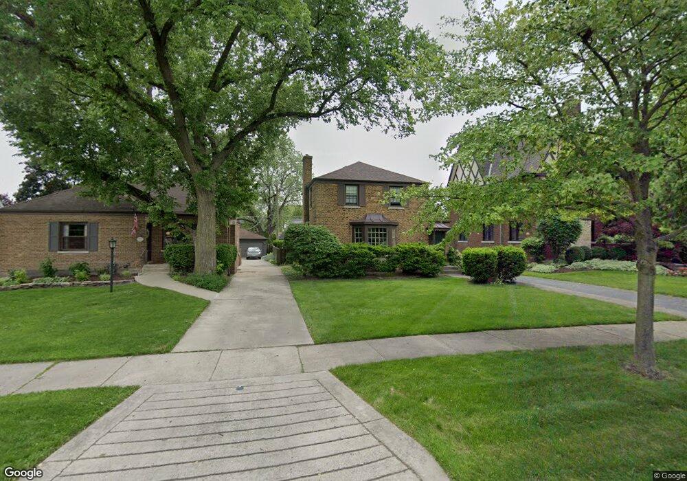
483 Longcommon Rd Riverside, IL 60546
Estimated Value: $486,491 - $514,000
4
Beds
3
Baths
1,584
Sq Ft
$314/Sq Ft
Est. Value
About This Home
This home is located at 483 Longcommon Rd, Riverside, IL 60546 and is currently estimated at $497,873, approximately $314 per square foot. 483 Longcommon Rd is a home located in Cook County with nearby schools including Blythe Park Elementary School, L J Hauser Jr High School, and Riverside Brookfield High School.
Ownership History
Date
Name
Owned For
Owner Type
Purchase Details
Closed on
Mar 21, 2002
Sold by
Tokatlian Zaven Peter and Tokatlian Silva L
Bought by
Tokatlian Zaven P
Current Estimated Value
Home Financials for this Owner
Home Financials are based on the most recent Mortgage that was taken out on this home.
Original Mortgage
$232,000
Outstanding Balance
$92,672
Interest Rate
6.87%
Estimated Equity
$405,201
Purchase Details
Closed on
Aug 23, 1996
Sold by
Mulig Elsie E and Mulig Thomas
Bought by
Tokatlian Zaven Peter and Tokatlian Silva L
Home Financials for this Owner
Home Financials are based on the most recent Mortgage that was taken out on this home.
Original Mortgage
$182,700
Interest Rate
8.47%
Create a Home Valuation Report for This Property
The Home Valuation Report is an in-depth analysis detailing your home's value as well as a comparison with similar homes in the area
Home Values in the Area
Average Home Value in this Area
Purchase History
| Date | Buyer | Sale Price | Title Company |
|---|---|---|---|
| Tokatlian Zaven P | -- | -- | |
| Tokatlian Zaven Peter | $203,000 | -- | |
| Tokatlian Zaven Peter | $203,000 | -- |
Source: Public Records
Mortgage History
| Date | Status | Borrower | Loan Amount |
|---|---|---|---|
| Open | Tokatlian Zaven P | $232,000 | |
| Closed | Tokatlian Zaven Peter | $182,700 |
Source: Public Records
Tax History
| Year | Tax Paid | Tax Assessment Tax Assessment Total Assessment is a certain percentage of the fair market value that is determined by local assessors to be the total taxable value of land and additions on the property. | Land | Improvement |
|---|---|---|---|---|
| 2025 | $10,562 | $38,983 | $8,000 | $30,983 |
| 2024 | $10,562 | $38,983 | $8,000 | $30,983 |
| 2023 | $10,274 | $38,983 | $8,000 | $30,983 |
| 2022 | $10,274 | $32,978 | $7,000 | $25,978 |
| 2021 | $9,931 | $32,978 | $7,000 | $25,978 |
| 2020 | $10,817 | $35,971 | $7,000 | $28,971 |
| 2019 | $8,888 | $31,427 | $6,400 | $25,027 |
| 2018 | $8,624 | $31,427 | $6,400 | $25,027 |
| 2017 | $8,380 | $31,427 | $6,400 | $25,027 |
| 2016 | $9,110 | $30,150 | $5,600 | $24,550 |
| 2015 | $9,286 | $31,483 | $5,600 | $25,883 |
| 2014 | $9,159 | $31,483 | $5,600 | $25,883 |
| 2013 | $7,590 | $28,837 | $5,600 | $23,237 |
Source: Public Records
Map
Nearby Homes
- 478 Kent Rd
- 562 Byrd Rd
- 2817 Maple Ave
- 571 Byrd Rd
- 484 Shenstone Rd
- 475 Shenstone Rd Unit 104
- 475 Shenstone Rd Unit 304
- 475 Shenstone Rd Unit 303
- 2816 Wenonah Ave
- 2817 Wenonah Ave
- 369 Addison Rd
- 3111 Wenonah Ave
- 269 Shenstone Rd
- 6840 29th Place
- 2532 Clinton Ave
- 2728 Grove Ave
- 2716 Grove Ave
- 6828 30th Place
- 2508 Kenilworth Ave
- 410 Repton Rd
- 487 Longcommon Rd
- 479 Longcommon Rd
- 491 Longcommon Rd
- 495 Longcommon Rd
- 471 Longcommon Rd
- 490 Kent Rd
- 492 Kent Rd
- 484 Kent Rd
- 494 Kent Rd
- 484 Longcommon Rd
- 500 Kent Rd
- 467 Longcommon Rd
- 490 Longcommon Rd
- 482 Longcommon Rd
- 504 Kent Rd
- 498 Longcommon Rd
- 465 Longcommon Rd
- 474 Kent Rd
- 508 Kent Rd
- 500 Byrd Rd
Your Personal Tour Guide
Ask me questions while you tour the home.