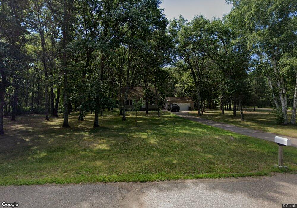
4831 Patterson Ct Brainerd, MN 56401
Estimated Value: $313,000 - $419,000
3
Beds
2
Baths
1,433
Sq Ft
$247/Sq Ft
Est. Value
About This Home
This home is located at 4831 Patterson Ct, Brainerd, MN 56401 and is currently estimated at $354,128, approximately $247 per square foot. 4831 Patterson Ct is a home located in Crow Wing County with nearby schools including Baxter Elementary School, Forestview Middle School, and Brainerd Senior High School.
Ownership History
Date
Name
Owned For
Owner Type
Purchase Details
Closed on
Aug 22, 2016
Sold by
Maier Matthew Matthew
Bought by
Lasher Daniel
Current Estimated Value
Home Financials for this Owner
Home Financials are based on the most recent Mortgage that was taken out on this home.
Original Mortgage
$155,000
Outstanding Balance
$123,392
Interest Rate
3.41%
Estimated Equity
$230,736
Create a Home Valuation Report for This Property
The Home Valuation Report is an in-depth analysis detailing your home's value as well as a comparison with similar homes in the area
Home Values in the Area
Average Home Value in this Area
Purchase History
| Date | Buyer | Sale Price | Title Company |
|---|---|---|---|
| Lasher Daniel | $155,000 | -- |
Source: Public Records
Mortgage History
| Date | Status | Borrower | Loan Amount |
|---|---|---|---|
| Open | Lasher Daniel | $155,000 |
Source: Public Records
Tax History
| Year | Tax Paid | Tax Assessment Tax Assessment Total Assessment is a certain percentage of the fair market value that is determined by local assessors to be the total taxable value of land and additions on the property. | Land | Improvement |
|---|---|---|---|---|
| 2025 | $1,564 | $279,100 | $75,700 | $203,400 |
| 2024 | $1,564 | $275,300 | $69,800 | $205,500 |
| 2023 | $1,442 | $258,600 | $59,300 | $199,300 |
| 2022 | $1,410 | $237,900 | $51,100 | $186,800 |
| 2021 | $1,400 | $185,000 | $37,700 | $147,300 |
| 2020 | $1,262 | $175,800 | $35,500 | $140,300 |
| 2019 | $1,234 | $159,200 | $32,100 | $127,100 |
| 2018 | $1,070 | $157,100 | $30,800 | $126,300 |
| 2017 | $1,030 | $124,734 | $32,652 | $92,082 |
| 2016 | $1,022 | $117,100 | $28,000 | $89,100 |
| 2015 | $1,020 | $113,200 | $27,800 | $85,400 |
| 2014 | $513 | $120,500 | $28,200 | $92,300 |
Source: Public Records
Map
Nearby Homes
- L2,B2 Sanctuary Ln
- L10,B2 Sanctuary Ln
- 16550 Sanctuary Ln
- TBD Sanctuary Path
- 3828 Sanctuary Way
- Lot 23 Sanctuary Path
- Lot 26 Sanctuary Path
- Lot 29 Sanctuary Dr
- 14936 Welton Rd
- Lot 15 .58 Acres 164 Tom Lehman Dr
- Lot 7 .60 Acres 1630 Tom Lehman Dr
- Lot 21 .85 Acres 162 Tom Lehman Dr
- Lot 27 1.03 Acres 16 Tom Lehman Dr
- 3754 Saint Annes Ct
- 16906 Piper Ln
- 16908 Piper Ln
- 16912 Piper Ln
- 3600 Royal Lytham Ct
- 5394 Clearwater Rd
- 14420 Cottage Grove Dr
- 4842 Patterson Ct
- 4863 Patterson Ct
- 15905 Patterson Rd
- 4878 Patterson Ct
- 15869 Patterson Rd
- 15923 Patterson Rd
- 4891 Patterson Ct
- 4838 Pine Beach Rd
- 4838 Pine Beach Rd
- 4838 Pine Beach Rd
- 4847 Pine Beach Rd
- 4900 Patterson Ct
- 15835 Patterson Rd
- 4851 Pine Beach Rd
- 4905 Pine Beach Rd
- 15714 Patterson Rd
- 15971 Red Sand Cir
- 15975 Red Sand Cir
- 15696 Patterson Rd
- 4764 Patterson Trail
Your Personal Tour Guide
Ask me questions while you tour the home.