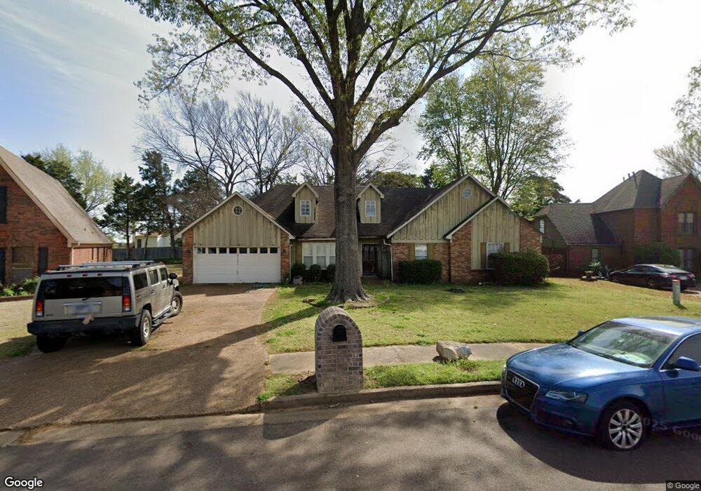
4836 Harvest Fields Cir Memphis, TN 38125
Southern Shelby County NeighborhoodEstimated Value: $227,000 - $263,000
3
Beds
3
Baths
1,894
Sq Ft
$128/Sq Ft
Est. Value
About This Home
This home is located at 4836 Harvest Fields Cir, Memphis, TN 38125 and is currently estimated at $241,593, approximately $127 per square foot. 4836 Harvest Fields Cir is a home located in Shelby County with nearby schools including Highland Oaks Elementary School, Highland Oaks Middle School, and Southwind High School.
Ownership History
Date
Name
Owned For
Owner Type
Purchase Details
Closed on
Jun 25, 2025
Sold by
Steele Anthony R
Bought by
Truist Bank
Current Estimated Value
Purchase Details
Closed on
May 28, 2010
Sold by
Gross Marcus O and Gross Keisha M
Bought by
Hunter Treavis D
Home Financials for this Owner
Home Financials are based on the most recent Mortgage that was taken out on this home.
Original Mortgage
$101,624
Interest Rate
5.75%
Mortgage Type
FHA
Purchase Details
Closed on
May 28, 1999
Sold by
Nelson Malcolm R and Nelson Carole M
Bought by
Gross Marcus O and Gross Keisha M
Home Financials for this Owner
Home Financials are based on the most recent Mortgage that was taken out on this home.
Original Mortgage
$143,916
Interest Rate
6.9%
Mortgage Type
FHA
Create a Home Valuation Report for This Property
The Home Valuation Report is an in-depth analysis detailing your home's value as well as a comparison with similar homes in the area
Home Values in the Area
Average Home Value in this Area
Purchase History
| Date | Buyer | Sale Price | Title Company |
|---|---|---|---|
| Truist Bank | $72,857 | None Listed On Document | |
| Hunter Treavis D | $103,500 | None Available | |
| Gross Marcus O | $144,000 | -- |
Source: Public Records
Mortgage History
| Date | Status | Borrower | Loan Amount |
|---|---|---|---|
| Previous Owner | Hunter Treavis D | $101,624 | |
| Previous Owner | Gross Marcus O | $143,916 |
Source: Public Records
Tax History Compared to Growth
Tax History
| Year | Tax Paid | Tax Assessment Tax Assessment Total Assessment is a certain percentage of the fair market value that is determined by local assessors to be the total taxable value of land and additions on the property. | Land | Improvement |
|---|---|---|---|---|
| 2025 | $1,411 | $54,300 | $14,175 | $40,125 |
| 2024 | $1,411 | $41,625 | $8,375 | $33,250 |
| 2023 | $1,411 | $41,625 | $8,375 | $33,250 |
| 2022 | $1,411 | $41,625 | $8,375 | $33,250 |
| 2021 | $1,436 | $41,625 | $8,375 | $33,250 |
| 2020 | $1,235 | $30,500 | $8,375 | $22,125 |
| 2019 | $1,235 | $30,500 | $8,375 | $22,125 |
| 2018 | $1,235 | $30,500 | $8,375 | $22,125 |
| 2017 | $1,254 | $30,500 | $8,375 | $22,125 |
| 2016 | $1,345 | $30,775 | $0 | $0 |
| 2014 | $1,345 | $30,775 | $0 | $0 |
Source: Public Records
Map
Nearby Homes
- 4820 Harvest Knoll Ln
- 4764 Buttermilk Dr
- 4735 Harvest Knoll Cove N
- 4768 Gertrude Dr
- 7522 Starfire Cove
- 7352 Red River Cove
- 4768 Bradfield Run
- 4826 Callaway Hills Dr
- 4927 Bradfield Run
- 7473 Kylan Dr
- 7321 Stonington Dr
- 4569 Cardiff Cove
- 5100 Sunny Autumn Ln
- 7125 Farmhouse Dr
- 4512 S Germantown Rd
- 5084 Autumn Morning Ln
- 7286 New Britain Dr
- 7421 Richmond Rd
- 5265 Annandale Dr
- 4646 Sweet Whisper Ln
- 4844 Harvest Fields Cir
- 4832 Harvest Fields Cir
- 4833 Buttermilk Dr
- 4843 Buttermilk Dr
- 4825 Buttermilk Dr
- 4850 Harvest Fields Cir
- 7408 Katie Cove
- 4826 Harvest Fields Cir
- 4829 Harvest Fields Cir
- 4853 Buttermilk Dr
- 4815 Buttermilk Dr
- 4856 Harvest Fields Cir
- 4810 Harvest Knoll Ln
- 4859 Buttermilk Dr
- 4865 Bronze Dr
- 7402 Katie Cove
- 4809 Buttermilk Dr
- 4850 Buttermilk Dr
- 7405 Katie Cove
- 7415 Courtney Ridge Cove