485 4th Range Rd Pembroke, NH 03275
Estimated Value: $487,000 - $809,000
4
Beds
2
Baths
2,986
Sq Ft
$199/Sq Ft
Est. Value
About This Home
This home is located at 485 4th Range Rd, Pembroke, NH 03275 and is currently estimated at $594,012, approximately $198 per square foot. 485 4th Range Rd is a home with nearby schools including Pembroke Hill School, Pembroke Village School, and Three Rivers School.
Ownership History
Date
Name
Owned For
Owner Type
Purchase Details
Closed on
Jun 1, 2015
Sold by
Saltmarsh Judith
Bought by
Gelinas Cindy L and Gelinas Robert
Current Estimated Value
Home Financials for this Owner
Home Financials are based on the most recent Mortgage that was taken out on this home.
Original Mortgage
$53,000
Outstanding Balance
$40,903
Interest Rate
3.65%
Mortgage Type
New Conventional
Estimated Equity
$553,109
Create a Home Valuation Report for This Property
The Home Valuation Report is an in-depth analysis detailing your home's value as well as a comparison with similar homes in the area
Home Values in the Area
Average Home Value in this Area
Purchase History
| Date | Buyer | Sale Price | Title Company |
|---|---|---|---|
| Gelinas Cindy L | $80,000 | -- | |
| Gelinas Cindy L | $80,000 | -- |
Source: Public Records
Mortgage History
| Date | Status | Borrower | Loan Amount |
|---|---|---|---|
| Open | Gelinas Cindy L | $53,000 | |
| Closed | Gelinas Cindy L | $53,000 |
Source: Public Records
Tax History Compared to Growth
Tax History
| Year | Tax Paid | Tax Assessment Tax Assessment Total Assessment is a certain percentage of the fair market value that is determined by local assessors to be the total taxable value of land and additions on the property. | Land | Improvement |
|---|---|---|---|---|
| 2024 | $7,649 | $389,484 | $157,384 | $232,100 |
| 2023 | $7,128 | $255,684 | $208,900 | $46,784 |
| 2022 | $6,211 | $249,438 | $101,338 | $148,100 |
| 2021 | $5,987 | $249,438 | $101,338 | $148,100 |
| 2020 | $6,136 | $249,438 | $101,338 | $148,100 |
| 2019 | $5,882 | $249,438 | $101,338 | $148,100 |
| 2018 | $5,764 | $219,669 | $92,969 | $126,700 |
| 2017 | $6,365 | $213,867 | $92,867 | $121,000 |
| 2015 | $5,778 | $199,667 | $84,067 | $115,600 |
| 2014 | $5,930 | $199,667 | $84,067 | $115,600 |
| 2011 | $7,151 | $270,453 | $91,053 | $179,400 |
Source: Public Records
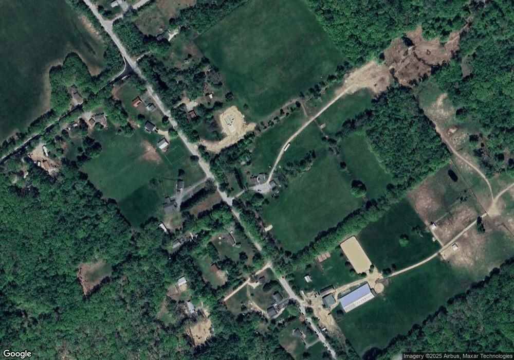
Map
Nearby Homes
- 348 Brickett Hill Rd Unit 3
- 344 Brickett Hill Rd Unit 2
- 344 Brickett Hill Rd
- 340 Brickett Hill Rd
- 425 Grady Ln Unit 28
- 452 Blane Cir Unit 45
- 441 Blane Cir Unit 12
- 401 Sixth Range Rd
- 509 Ashley Dr
- 245 Beacon Hill Rd Unit B
- 412 Deerpath Ln
- 203 Brickett Hill Rd
- 455 Carrie Ave
- 214 Pembroke St
- 347 Pembroke St
- 101 4th Range Rd Unit 4
- 440 Micol Rd
- 91 Whittemore Rd
- 667 Borough Rd
- 10 Winchester Ct
- 435 Cross Country Rd
- 437 Cross Country Rd
- 431 Cross Country Rd
- 441 Cross Country Rd
- 423 Cross Country Rd
- 405-419 5th Range Rd
- 419 Cross Country Rd
- 417 Cross Country Rd
- 432 Cross Country Rd
- 451 Cross Country Rd
- 422 Cross Country Rd
- 461 Cross Country Rd
- 413 Cross Country Rd
- 418 Cross Country Rd
- 503 4th Range Rd
- 416 Cross Country Rd
- 495 4th Range Rd
- 471 4th Range Rd
- 410 Cross Country Rd
- 482 4th Range Rd