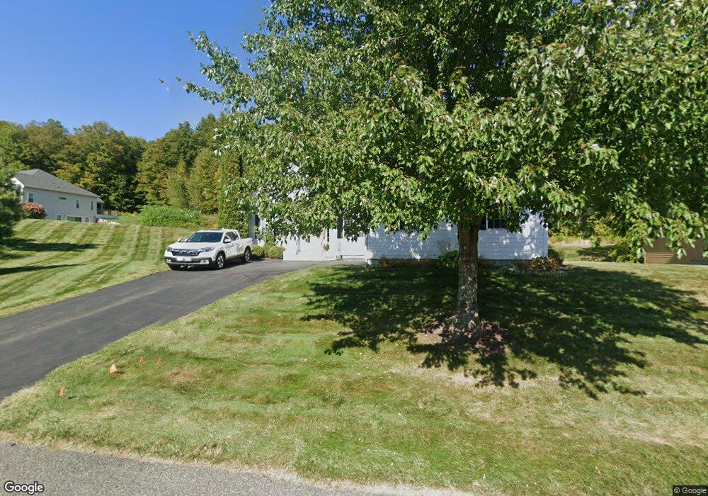
485 Red Barn Rd Dalton, MA 01226
Estimated Value: $734,129 - $837,000
5
Beds
3
Baths
3,721
Sq Ft
$210/Sq Ft
Est. Value
About This Home
This home is located at 485 Red Barn Rd, Dalton, MA 01226 and is currently estimated at $783,032, approximately $210 per square foot. 485 Red Barn Rd is a home located in Berkshire County with nearby schools including Wahconah Regional High School, Sacred Heart School, and Miss Hall's School.
Ownership History
Date
Name
Owned For
Owner Type
Purchase Details
Closed on
Feb 15, 2008
Sold by
Henry Fay J and Henry Rodman R
Bought by
Pariseau John P and Pariseau Maryellen
Current Estimated Value
Home Financials for this Owner
Home Financials are based on the most recent Mortgage that was taken out on this home.
Original Mortgage
$360,000
Outstanding Balance
$228,026
Interest Rate
6.14%
Mortgage Type
Purchase Money Mortgage
Estimated Equity
$555,006
Purchase Details
Closed on
Aug 19, 2005
Sold by
Silver Maple Farm Nt and Burbank Kelton M
Bought by
Henry Fay J and Henry Rodman R
Create a Home Valuation Report for This Property
The Home Valuation Report is an in-depth analysis detailing your home's value as well as a comparison with similar homes in the area
Home Values in the Area
Average Home Value in this Area
Purchase History
| Date | Buyer | Sale Price | Title Company |
|---|---|---|---|
| Pariseau John P | $360,000 | -- | |
| Henry Fay J | $399,500 | -- |
Source: Public Records
Mortgage History
| Date | Status | Borrower | Loan Amount |
|---|---|---|---|
| Open | Pariseau John P | $360,000 |
Source: Public Records
Tax History Compared to Growth
Tax History
| Year | Tax Paid | Tax Assessment Tax Assessment Total Assessment is a certain percentage of the fair market value that is determined by local assessors to be the total taxable value of land and additions on the property. | Land | Improvement |
|---|---|---|---|---|
| 2025 | $12,091 | $666,900 | $0 | $666,900 |
| 2024 | $10,986 | $603,600 | $0 | $603,600 |
| 2023 | $9,404 | $468,500 | $0 | $468,500 |
| 2022 | $9,404 | $453,400 | $0 | $453,400 |
| 2021 | $9,365 | $435,400 | $0 | $435,400 |
| 2020 | $7,960 | $392,300 | $0 | $392,300 |
| 2019 | $7,245 | $371,900 | $0 | $371,900 |
| 2018 | $7,004 | $351,800 | $0 | $351,800 |
| 2017 | $6,990 | $351,800 | $0 | $351,800 |
| 2016 | $7,365 | $375,200 | $0 | $375,200 |
| 2015 | $7,661 | $393,500 | $0 | $393,500 |
Source: Public Records
Map
Nearby Homes
- 240 Kirchner Rd
- 104 Washington Mountain Rd
- 0 Dalton Division Rd
- 26 Leona Dr
- 490 Kirchner Rd
- 171 Pine Grove Dr
- 932 Williams St
- 171 Harryel St
- 100 Elaine Dr
- 304 Dalton Division Rd
- 189 Doreen St
- 4 Filomena Dr
- 59 Joan Dr
- 28 Jayne Ave
- 787 Williams St
- 13 Pleasantview Dr
- 68 Brookside Dr
- 80 Mcintosh Dr
- 1106 South St
- 1 Pondview Dr Unit C3
- 509 Red Barn Rd
- 484 Red Barn Rd
- 502 Red Barn Rd
- 529 Red Barn Rd
- 466 Red Barn Rd
- 465 Red Barn Rd
- 520 Red Barn Rd
- 561 Red Barn Rd
- 536 Red Barn Rd
- 568 Red Barn Rd
- 573 Red Barn Rd
- 573 Red Barn Rd Unit 573
- 573 Red Barn Rd Unit 41
- 9 River Birch Ln
- 581 Red Barn Rd
- 574 Red Barn Rd
- 574 Red Barn Rd Unit 37
- 383 Red Barn Rd
- 25 River Birch Ln
- 587 Red Barn Rd