485 Tollhouse Rd Springfield, OH 45504
Cedar Hills/Broadview NeighborhoodEstimated Value: $504,000 - $542,000
4
Beds
3
Baths
3,196
Sq Ft
$163/Sq Ft
Est. Value
About This Home
This home is located at 485 Tollhouse Rd, Springfield, OH 45504 and is currently estimated at $521,940, approximately $163 per square foot. 485 Tollhouse Rd is a home located in Clark County with nearby schools including Possum Elementary School, Shawnee Middle School/High School, and Clark Preparatory Academy.
Ownership History
Date
Name
Owned For
Owner Type
Purchase Details
Closed on
Jul 3, 2025
Sold by
Dudney Jerald S and Dudney Ellen H
Bought by
Ellen H Dudney Trust and Dudney
Current Estimated Value
Purchase Details
Closed on
Jun 10, 1994
Sold by
Shue Mark T
Bought by
Dudney Jerald S and Dudney Ellen
Home Financials for this Owner
Home Financials are based on the most recent Mortgage that was taken out on this home.
Original Mortgage
$148,400
Interest Rate
8.45%
Mortgage Type
New Conventional
Purchase Details
Closed on
Jun 6, 1986
Create a Home Valuation Report for This Property
The Home Valuation Report is an in-depth analysis detailing your home's value as well as a comparison with similar homes in the area
Home Values in the Area
Average Home Value in this Area
Purchase History
We collect this data history from publicly available records. To have your information removed, we recommend requesting removal directly through your county’s website.
| Date | Buyer | Sale Price | Title Company |
|---|---|---|---|
| Ellen H Dudney Trust | -- | None Listed On Document | |
| Ellen H Dudney Trust | -- | None Listed On Document | |
| Dudney Jerald S | $212,000 | -- | |
| -- | $22,000 | -- |
Source: Public Records
Mortgage History
We collect this data history from publicly available records. To have your information removed, we recommend requesting removal directly through your county’s website.
| Date | Status | Borrower | Loan Amount |
|---|---|---|---|
| Previous Owner | Dudney Jerald S | $148,400 |
Source: Public Records
Tax History
| Year | Tax Paid | Tax Assessment Tax Assessment Total Assessment is a certain percentage of the fair market value that is determined by local assessors to be the total taxable value of land and additions on the property. | Land | Improvement |
|---|---|---|---|---|
| 2025 | $7,318 | $169,090 | $22,920 | $146,170 |
| 2024 | $7,128 | $145,940 | $18,800 | $127,140 |
| 2023 | $7,128 | $145,940 | $18,800 | $127,140 |
| 2022 | $7,070 | $145,940 | $18,800 | $127,140 |
| 2021 | $6,110 | $112,920 | $14,240 | $98,680 |
| 2020 | $6,160 | $112,920 | $14,240 | $98,680 |
| 2019 | $6,257 | $112,920 | $14,240 | $98,680 |
| 2018 | $6,256 | $111,350 | $11,480 | $99,870 |
| 2017 | $6,412 | $110,181 | $11,484 | $98,697 |
| 2016 | $5,784 | $110,181 | $11,484 | $98,697 |
| 2015 | $5,899 | $110,181 | $11,484 | $98,697 |
| 2014 | $5,915 | $110,181 | $11,484 | $98,697 |
| 2013 | $5,139 | $110,181 | $11,484 | $98,697 |
Source: Public Records
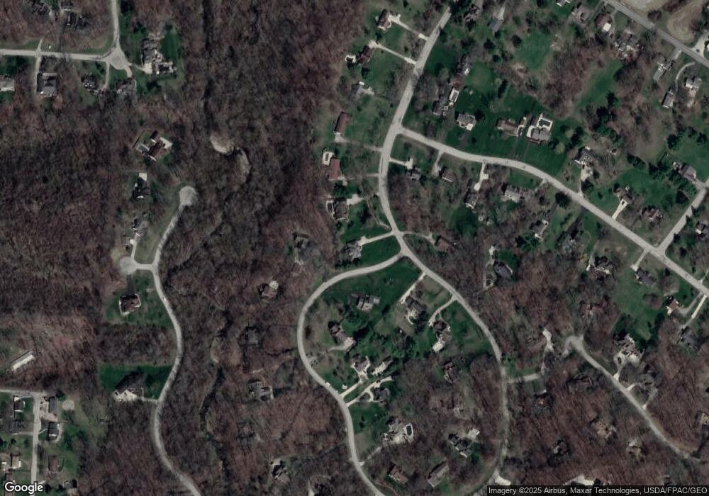
Map
Nearby Homes
- 430 Leander Dr
- 624 Aberfelda Dr
- 575 Hornwood Dr
- 660 W Eva Cir
- 330 Saint Paul Ave
- 80 Carlisle Ave
- 3753 W National Rd
- 190 Oakridge Dr
- 4119 Southwest Ct
- 657 White Oak Dr
- 4004 Sintz Rd
- 23 Rock Run
- 3101 W Columbia St
- 925 Upper Valley Pike
- 3267 Lower Valley Pike Unit Tract 2
- 0 Upper Valley Pike
- 4461 New Carlisle Pike
- 2705 Ash Dr
- 22 Sunset Dr
- 288 Gordon Rd
- 495 Tollhouse Rd
- 465 Leander Dr
- 450 Leander Dr
- 460 Tollhouse Rd
- 455 Tollhouse Rd
- 501 Tollhouse Rd
- 500 Tollhouse Rd
- 675 Aberfelda Dr
- 435 Leander Dr
- 440 Leander Dr
- 435 Tollhouse Rd
- 663 Aberfelda Dr
- 405 Leander Dr
- 509 Tollhouse Rd
- 430 Tollhouse Rd
- 401 Leander Dr
- 645 Aberfelda Dr
- 425 Tollhouse Rd
- 517 Tollhouse Rd
- 524 Tollhouse Rd
Your Personal Tour Guide
Ask me questions while you tour the home.