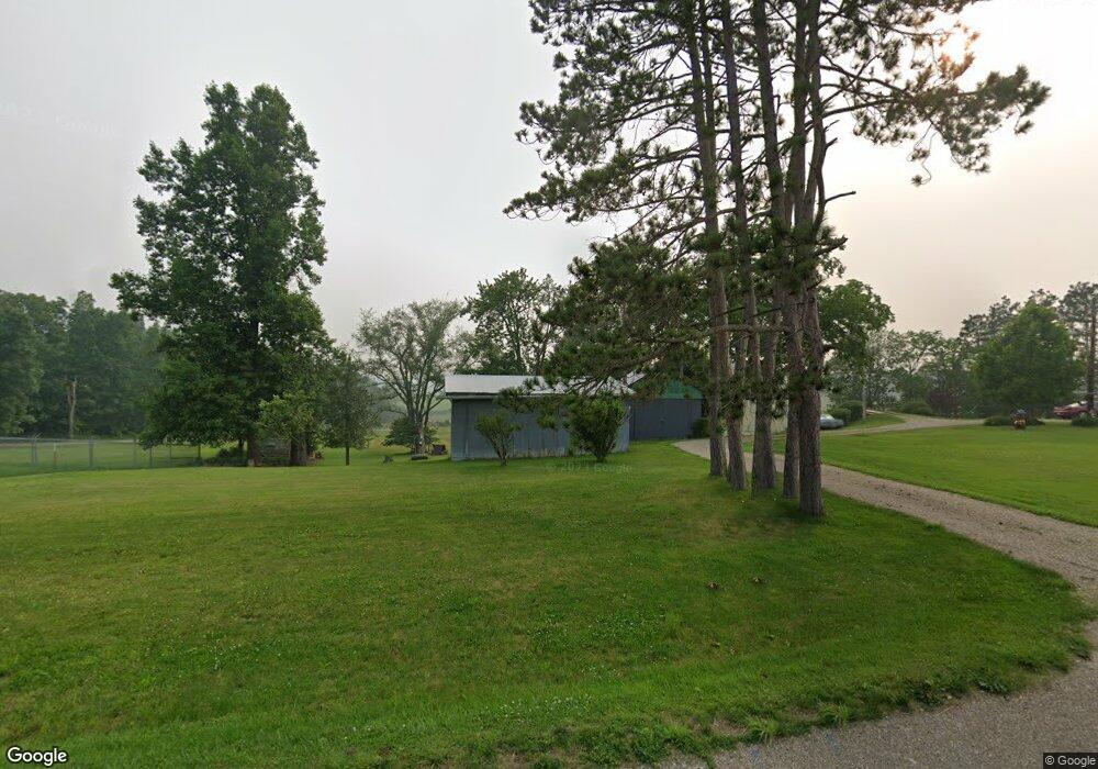
48555 State Route 800 Woodsfield, OH 43793
Estimated Value: $68,000 - $119,000
--
Bed
1
Bath
816
Sq Ft
$118/Sq Ft
Est. Value
About This Home
This home is located at 48555 State Route 800, Woodsfield, OH 43793 and is currently estimated at $96,014, approximately $117 per square foot. 48555 State Route 800 is a home located in Monroe County with nearby schools including Woodsfield Elementary School, River Elementary School, and Monroe Central High School.
Ownership History
Date
Name
Owned For
Owner Type
Purchase Details
Closed on
Jan 20, 2004
Bought by
Palmer Danny R and Palmer Larry L
Current Estimated Value
Purchase Details
Closed on
Apr 28, 2000
Bought by
Palmer Danny R and Palmer Larry L
Create a Home Valuation Report for This Property
The Home Valuation Report is an in-depth analysis detailing your home's value as well as a comparison with similar homes in the area
Home Values in the Area
Average Home Value in this Area
Purchase History
| Date | Buyer | Sale Price | Title Company |
|---|---|---|---|
| Palmer Danny R | -- | -- | |
| Palmer Danny R | -- | -- |
Source: Public Records
Tax History Compared to Growth
Tax History
| Year | Tax Paid | Tax Assessment Tax Assessment Total Assessment is a certain percentage of the fair market value that is determined by local assessors to be the total taxable value of land and additions on the property. | Land | Improvement |
|---|---|---|---|---|
| 2024 | $472 | $24,810 | $8,710 | $16,100 |
| 2023 | $472 | $24,810 | $8,710 | $16,100 |
| 2022 | $505 | $24,810 | $8,710 | $16,100 |
| 2021 | $487 | $24,010 | $7,580 | $16,430 |
| 2020 | $487 | $24,010 | $7,580 | $16,430 |
| 2019 | $477 | $23,990 | $7,560 | $16,430 |
| 2018 | $429 | $21,940 | $6,300 | $15,640 |
| 2017 | $432 | $21,940 | $6,300 | $15,640 |
| 2016 | $438 | $21,940 | $6,300 | $15,640 |
| 2015 | $265 | $16,380 | $5,140 | $11,240 |
| 2014 | $265 | $16,380 | $5,140 | $11,240 |
| 2013 | $272 | $16,020 | $4,990 | $11,030 |
Source: Public Records
Map
Nearby Homes
- 49402 Patton Rd
- 0 Barber Ridge Rd
- 198 N Monroe St
- 220 Oaklawn Ave
- 208 Center St
- 206 Ohio St
- 108 Oaklawn Ave
- 108 S Paul St
- 108.5 S Paul Alley
- 210 E Church St
- 315 Eastern Ave
- 302 High St
- 303 High St
- 147 Andover Rd
- 407 High St
- 418 Eastern Ave
- 333 S Main St
- 50911 State Route 26
- 34668 Township Highway 2063
- 34937 Miltonsburg Calais Rd
- 48610 State Route 800
- 37967 County Road 2e
- 48490 State Route 800
- 48467 State Route 800
- 37700 Township Road 35
- 48981 State Route 800
- 48334 State Route 800
- 48313 State Route 800
- 48425 State Route 800
- 37771 County Road 2e
- 37190 Township Road 35
- 37666 County Road 2e
- 47660 State Route 800
- 37641 County Road 2e
- 49190 State Route 800
- 48525 Patton Rd
- 37574 County Road 2e
- 49251 State Route 800
- 48829 Patton Rd
- 37570 County Road 2e