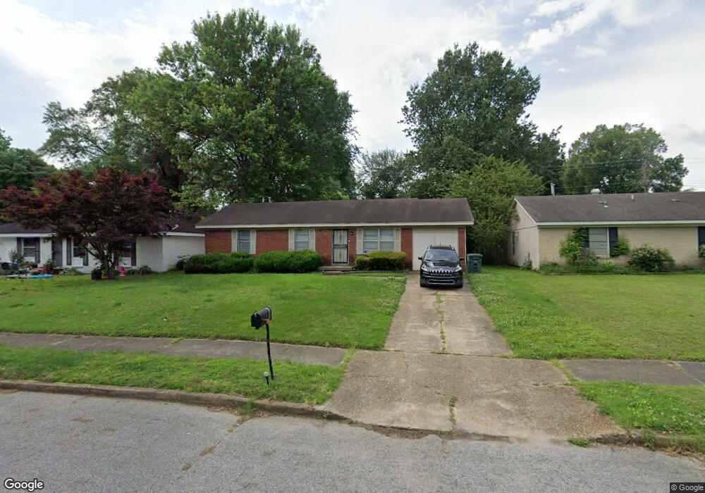
4857 Blanding Ave Memphis, TN 38118
Parkway Village NeighborhoodEstimated Value: $130,000 - $170,000
3
Beds
2
Baths
1,411
Sq Ft
$102/Sq Ft
Est. Value
About This Home
This home is located at 4857 Blanding Ave, Memphis, TN 38118 and is currently estimated at $144,192, approximately $102 per square foot. 4857 Blanding Ave is a home located in Shelby County with nearby schools including Cromwell Elementary School, Wooddale High School, and Memphis School of Excellence.
Ownership History
Date
Name
Owned For
Owner Type
Purchase Details
Closed on
Apr 4, 1997
Sold by
Kyzar Leslie D and Kyzar Sheila C
Bought by
Joiner Vicki Jo
Current Estimated Value
Home Financials for this Owner
Home Financials are based on the most recent Mortgage that was taken out on this home.
Original Mortgage
$66,150
Outstanding Balance
$8,403
Interest Rate
7.69%
Mortgage Type
VA
Estimated Equity
$135,789
Create a Home Valuation Report for This Property
The Home Valuation Report is an in-depth analysis detailing your home's value as well as a comparison with similar homes in the area
Home Values in the Area
Average Home Value in this Area
Purchase History
| Date | Buyer | Sale Price | Title Company |
|---|---|---|---|
| Joiner Vicki Jo | $64,900 | Security Title Company Inc |
Source: Public Records
Mortgage History
| Date | Status | Borrower | Loan Amount |
|---|---|---|---|
| Open | Joiner Vicki Jo | $66,150 |
Source: Public Records
Tax History Compared to Growth
Tax History
| Year | Tax Paid | Tax Assessment Tax Assessment Total Assessment is a certain percentage of the fair market value that is determined by local assessors to be the total taxable value of land and additions on the property. | Land | Improvement |
|---|---|---|---|---|
| 2025 | $623 | $31,275 | $5,000 | $26,275 |
| 2024 | $623 | $18,375 | $3,350 | $15,025 |
| 2023 | $1,119 | $18,375 | $3,350 | $15,025 |
| 2022 | $1,119 | $18,375 | $3,350 | $15,025 |
| 2021 | $1,132 | $18,375 | $3,350 | $15,025 |
| 2020 | $1,078 | $14,875 | $3,350 | $11,525 |
| 2019 | $1,078 | $14,875 | $3,350 | $11,525 |
| 2018 | $1,078 | $14,875 | $3,350 | $11,525 |
| 2017 | $611 | $14,875 | $3,350 | $11,525 |
| 2016 | $640 | $14,650 | $0 | $0 |
| 2014 | $640 | $14,650 | $0 | $0 |
Source: Public Records
Map
Nearby Homes
- 4833 Scottsdale Ave
- 3287 Boxdale St
- 3388 Jenkins St
- 3240 Boxdale St
- 3274 Gaylord Ln
- 3339 S Perkins Rd
- 3347 S Perkins Rd
- 4817 Wooddale Ave
- 4947 Demeter Cove
- 4763 Wooddale Ave
- 3408 Clearbrook St
- 4864 Cloister Ave
- 3433 S Perkins Rd
- 4616 Blanding Dr
- 3395 Mckenzie St Unit 35581
- 4612 Chuck Ave
- 3515 Wooddale Cove
- 4772 James Kent Ct
- 3626 Outland Rd Unit 86
- 3629 Chesterwood Dr Unit 77
- 4863 Blanding Ave
- 4849 Blanding Ave
- 4854 Chuck Ave
- 4869 Blanding Ave
- 4860 Chuck Ave
- 4848 Chuck Ave
- 4866 Chuck Ave
- 4858 Blanding Ave
- 4850 Blanding Ave
- 4864 Blanding Ave
- 4875 Blanding Ave
- 4837 Blanding Ave
- 4842 Chuck Ave
- 4874 Chuck Ave
- 4844 Blanding Ave
- 4870 Blanding Ave
- 4883 Blanding Ave
- 4838 Blanding Ave
- 4880 Chuck Ave
- 4876 Blanding Ave