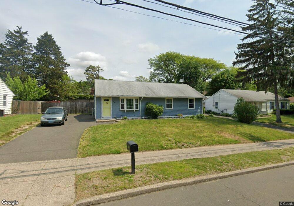
486 Anton St Bridgeport, CT 06606
North End NeighborhoodEstimated Value: $400,000 - $457,000
3
Beds
1
Bath
1,628
Sq Ft
$255/Sq Ft
Est. Value
About This Home
This home is located at 486 Anton St, Bridgeport, CT 06606 and is currently estimated at $415,877, approximately $255 per square foot. 486 Anton St is a home located in Fairfield County with nearby schools including John Winthrop School, Central High School, and St Andrew School.
Ownership History
Date
Name
Owned For
Owner Type
Purchase Details
Closed on
Jun 27, 2006
Sold by
Vincze Gail and Matyasouszky Jean
Bought by
Crengo Francisco and Adams Janette
Current Estimated Value
Home Financials for this Owner
Home Financials are based on the most recent Mortgage that was taken out on this home.
Original Mortgage
$180,000
Outstanding Balance
$110,358
Interest Rate
7.25%
Estimated Equity
$305,519
Create a Home Valuation Report for This Property
The Home Valuation Report is an in-depth analysis detailing your home's value as well as a comparison with similar homes in the area
Home Values in the Area
Average Home Value in this Area
Purchase History
| Date | Buyer | Sale Price | Title Company |
|---|---|---|---|
| Crengo Francisco | $225,000 | -- | |
| Crengo Francisco | $225,000 | -- |
Source: Public Records
Mortgage History
| Date | Status | Borrower | Loan Amount |
|---|---|---|---|
| Open | Crengo Francisco | $74,832 | |
| Open | Crengo Francisco | $180,000 | |
| Closed | Crengo Francisco | $45,000 | |
| Closed | Crengo Francisco | $180,000 |
Source: Public Records
Tax History Compared to Growth
Tax History
| Year | Tax Paid | Tax Assessment Tax Assessment Total Assessment is a certain percentage of the fair market value that is determined by local assessors to be the total taxable value of land and additions on the property. | Land | Improvement |
|---|---|---|---|---|
| 2025 | $6,006 | $138,224 | $67,934 | $70,290 |
| 2024 | $6,006 | $138,224 | $67,934 | $70,290 |
| 2023 | $6,006 | $138,224 | $67,934 | $70,290 |
| 2022 | $6,006 | $138,224 | $67,934 | $70,290 |
| 2021 | $6,006 | $138,224 | $67,934 | $70,290 |
| 2020 | $6,144 | $113,800 | $53,240 | $60,560 |
| 2019 | $6,144 | $113,800 | $53,240 | $60,560 |
| 2018 | $6,187 | $113,800 | $53,240 | $60,560 |
| 2017 | $6,187 | $113,800 | $53,240 | $60,560 |
| 2016 | $6,187 | $113,800 | $53,240 | $60,560 |
| 2015 | $5,867 | $139,020 | $52,370 | $86,650 |
| 2014 | $5,867 | $139,020 | $52,370 | $86,650 |
Source: Public Records
Map
Nearby Homes
- 50 Greenhouse Rd Unit 65D
- 50 Greenhouse Rd Unit 42C
- 173 Anton Dr
- 236 Edgemoor Rd Unit D
- 9 Patricia Rd Unit C
- 72 Herald Ave
- 2998 Madison Ave Unit C
- 394 Anton Dr
- 360 Vincellette St
- 230 Cherry Hill Dr Unit 2B
- 15 Cherry Hill Dr Unit 2A
- 64 Dobson St
- 265 Vincellette St
- 65 Dobson St
- 2800 Madison Ave Unit 1B
- 288 Sunrise Terrace
- 12 Riverview Dr Unit 12
- 2955 Madison Ave Unit 40
- 333 Vincellette St Unit 109
- 87 Oliver St
- 502 Anton St
- 472 Anton St
- 516 Anton St
- 456 Anton St
- 9 Corn Tassel Rd
- 49 Corn Tassel Rd
- 25 Corn Tassel Rd
- 37 Corn Tassel Rd
- 530 Anton St
- 35 Sunburst Rd
- 442 Anton St
- 67 Corn Tassel Rd
- 30 Corn Tassel Rd
- 531 Anton St
- 64 Corn Tassel Rd
- 85 Corn Tassel Rd
- 115 Sunburst Rd
- 50 Sunburst Rd
- 72 Corn Tassel Rd
- 70 Sunburst Rd