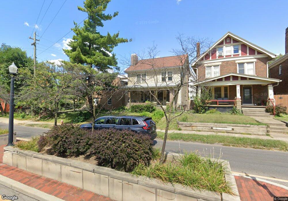
486 King Ave Columbus, OH 43201
Estimated Value: $336,791 - $585,000
2
Beds
2
Baths
1,786
Sq Ft
$249/Sq Ft
Est. Value
About This Home
This home is located at 486 King Ave, Columbus, OH 43201 and is currently estimated at $445,198, approximately $249 per square foot. 486 King Ave is a home located in Franklin County with nearby schools including Hubbard Elementary School, Dominion Middle School, and Whetstone High School.
Ownership History
Date
Name
Owned For
Owner Type
Purchase Details
Closed on
Nov 18, 1998
Sold by
Scarozza Robert A and Scarozza Charlotte M
Bought by
Scarozza Guy R
Current Estimated Value
Purchase Details
Closed on
Aug 23, 1989
Bought by
Scarozza Robert A
Purchase Details
Closed on
Jun 1, 1986
Purchase Details
Closed on
Apr 1, 1980
Create a Home Valuation Report for This Property
The Home Valuation Report is an in-depth analysis detailing your home's value as well as a comparison with similar homes in the area
Purchase History
| Date | Buyer | Sale Price | Title Company |
|---|---|---|---|
| Scarozza Guy R | -- | -- | |
| Scarozza Robert A | $77,000 | -- | |
| -- | $25,800 | -- | |
| -- | $39,500 | -- |
Source: Public Records
Tax History
| Year | Tax Paid | Tax Assessment Tax Assessment Total Assessment is a certain percentage of the fair market value that is determined by local assessors to be the total taxable value of land and additions on the property. | Land | Improvement |
|---|---|---|---|---|
| 2025 | $4,510 | $99,440 | $53,660 | $45,780 |
| 2024 | $4,510 | $99,440 | $53,660 | $45,780 |
| 2023 | $4,453 | $99,435 | $53,655 | $45,780 |
| 2022 | $4,133 | $78,720 | $31,080 | $47,640 |
| 2021 | $4,140 | $78,720 | $31,080 | $47,640 |
| 2020 | $4,146 | $78,720 | $31,080 | $47,640 |
| 2019 | $3,720 | $60,560 | $23,910 | $36,650 |
| 2018 | $3,559 | $60,560 | $23,910 | $36,650 |
| 2017 | $3,732 | $60,560 | $23,910 | $36,650 |
| 2016 | $3,746 | $55,830 | $22,120 | $33,710 |
| 2015 | $3,405 | $55,830 | $22,120 | $33,710 |
| 2014 | $3,414 | $55,830 | $22,120 | $33,710 |
| 2013 | $1,581 | $50,750 | $20,125 | $30,625 |
Source: Public Records
Map
Nearby Homes
- 402 W 7th Ave
- 396 W 7th Ave
- 422 W 6th Ave
- 424 W 5th Ave Unit 424
- 398 W 5th Ave
- 1520 Neil Ave
- 1359 Neil Ave
- 325 W 6th Ave
- 512 Riverfront Ln
- 516 Riverfront Ln
- 506 Riverfront Ln
- 502 Riverfront Ln
- 477 W 4th Ave
- 1153 Pennsylvania Ave
- 537 W 3rd Ave Unit 537
- 1103 Michigan Ave
- 0 Bradley St
- 93 King Ave Unit 95
- 231 W 4th Ave
- 316 W 3rd Ave
- 480 King Ave
- 476 King Ave
- 470 King Ave Unit 472
- 466 King Ave
- 1483 Perry St
- 462 King Ave
- 462 King Ave
- 462 King Ave Unit 462.5
- 1487 Perry St
- 1493 Perry St
- 1497 Perry St Unit 499
- 1499 Perry St
- 450 King Ave
- 1505 Perry St Unit 507
- 444 King Ave Unit 446
- 1486 Perry St
- 1511 Perry St
- 438 King Ave Unit 440
- 0 Perry St
- 1492 Perry St
Your Personal Tour Guide
Ask me questions while you tour the home.