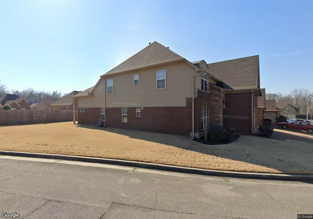
4865 Stirrup Dr Memphis, TN 38125
Southern Shelby County NeighborhoodEstimated Value: $340,766 - $361,000
4
Beds
3
Baths
2,757
Sq Ft
$126/Sq Ft
Est. Value
About This Home
This home is located at 4865 Stirrup Dr, Memphis, TN 38125 and is currently estimated at $346,692, approximately $125 per square foot. 4865 Stirrup Dr is a home located in Shelby County with nearby schools including Southwind Elementary School, Highland Oaks Middle School, and Southwind High School.
Ownership History
Date
Name
Owned For
Owner Type
Purchase Details
Closed on
Dec 15, 2006
Sold by
Mark Matthews Development Llc
Bought by
Tate Amber N
Current Estimated Value
Home Financials for this Owner
Home Financials are based on the most recent Mortgage that was taken out on this home.
Original Mortgage
$167,825
Outstanding Balance
$99,166
Interest Rate
6.1%
Mortgage Type
Purchase Money Mortgage
Estimated Equity
$247,526
Create a Home Valuation Report for This Property
The Home Valuation Report is an in-depth analysis detailing your home's value as well as a comparison with similar homes in the area
Home Values in the Area
Average Home Value in this Area
Purchase History
| Date | Buyer | Sale Price | Title Company |
|---|---|---|---|
| Tate Amber N | $223,767 | Home Surety Title & Escrow L |
Source: Public Records
Mortgage History
| Date | Status | Borrower | Loan Amount |
|---|---|---|---|
| Open | Tate Amber N | $167,825 |
Source: Public Records
Tax History Compared to Growth
Tax History
| Year | Tax Paid | Tax Assessment Tax Assessment Total Assessment is a certain percentage of the fair market value that is determined by local assessors to be the total taxable value of land and additions on the property. | Land | Improvement |
|---|---|---|---|---|
| 2025 | $2,029 | $87,525 | $14,750 | $72,775 |
| 2024 | $2,029 | $59,850 | $8,500 | $51,350 |
| 2023 | $2,029 | $59,850 | $8,500 | $51,350 |
| 2022 | $2,029 | $59,850 | $8,500 | $51,350 |
| 2021 | $2,065 | $59,850 | $8,500 | $51,350 |
| 2020 | $2,039 | $50,350 | $8,500 | $41,850 |
| 2019 | $2,039 | $50,350 | $8,500 | $41,850 |
| 2018 | $2,039 | $50,350 | $8,500 | $41,850 |
| 2017 | $2,069 | $50,350 | $8,500 | $41,850 |
| 2016 | $1,953 | $44,700 | $0 | $0 |
| 2014 | $1,953 | $44,700 | $0 | $0 |
Source: Public Records
Map
Nearby Homes
- 7875 Fallstone Rd
- 8051 Laurel Tree Dr
- 1578 Southern Hill Dr
- 4646 Sweet Whisper Ln
- 4826 Callaway Hills Dr
- 5167 Silver Peak Ln
- 4768 Gertrude Dr
- 4471 Hughes Meadow Dr
- 7522 Starfire Cove
- 4419 Berkley Woods Dr
- 4848 Ashcroft Dr
- 4764 Buttermilk Dr
- 7473 Kylan Dr
- 4316 Barry Meadows Cove
- 4820 Harvest Knoll Ln
- 8533 E Shelby Dr
- 5308 Laurelfield Ln
- 4411 Alixs Dr
- 4735 Harvest Knoll Cove N
- 7352 Red River Cove
- 4861 Stirrup Dr
- 4857 Stirrup Dr
- 7974 River Mist Dr
- 7966 River Mist Dr
- 4878 Stirrup Dr
- 4882 Stirrup Dr
- 4874 Stirrup Dr
- 4853 Stirrup Dr
- 4886 Stirrup Dr
- 7962 River Mist Dr
- 7958 River Mist Dr
- 7954 River Mist Dr
- 4870 Stirrup Dr
- 4890 Stirrup Dr
- 4862 Saddlehorn Cove
- 4849 Stirrup Dr
- 4894 Stirrup Dr
- 7950 River Mist Dr
- 4860 Stirrup Dr
- 4858 Saddlehorn Cove