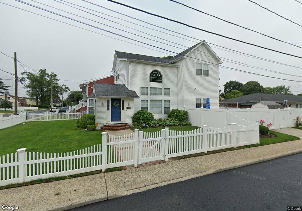
487 Hopatcong Ave West Hempstead, NY 11552
Estimated Value: $768,000 - $817,590
4
Beds
5
Baths
1,830
Sq Ft
$433/Sq Ft
Est. Value
About This Home
This home is located at 487 Hopatcong Ave, West Hempstead, NY 11552 and is currently estimated at $792,795, approximately $433 per square foot. 487 Hopatcong Ave is a home located in Nassau County with nearby schools including Maurice W. Downing Primary K-2 School, Davison Avenue Intermediate School, and Howard T Herber Middle School.
Ownership History
Date
Name
Owned For
Owner Type
Purchase Details
Closed on
Apr 10, 2014
Sold by
Lambick Janice and Lambick Pearl
Bought by
Haye Gregory
Current Estimated Value
Home Financials for this Owner
Home Financials are based on the most recent Mortgage that was taken out on this home.
Original Mortgage
$373,117
Interest Rate
3.25%
Mortgage Type
FHA
Create a Home Valuation Report for This Property
The Home Valuation Report is an in-depth analysis detailing your home's value as well as a comparison with similar homes in the area
Home Values in the Area
Average Home Value in this Area
Purchase History
| Date | Buyer | Sale Price | Title Company |
|---|---|---|---|
| Haye Gregory | $380,000 | Wfg National Title |
Source: Public Records
Mortgage History
| Date | Status | Borrower | Loan Amount |
|---|---|---|---|
| Closed | Haye Gregory | $373,117 |
Source: Public Records
Tax History Compared to Growth
Tax History
| Year | Tax Paid | Tax Assessment Tax Assessment Total Assessment is a certain percentage of the fair market value that is determined by local assessors to be the total taxable value of land and additions on the property. | Land | Improvement |
|---|---|---|---|---|
| 2025 | $15,029 | $503 | $158 | $345 |
| 2024 | $5,032 | $507 | $159 | $348 |
| 2023 | $14,938 | $532 | $167 | $365 |
| 2022 | $14,938 | $533 | $167 | $366 |
| 2021 | $19,946 | $512 | $160 | $352 |
| 2020 | $14,808 | $717 | $331 | $386 |
| 2019 | $14,300 | $929 | $432 | $497 |
| 2018 | $17,496 | $929 | $0 | $0 |
| 2017 | $10,380 | $929 | $432 | $497 |
| 2016 | $15,845 | $929 | $432 | $497 |
| 2015 | $4,812 | $929 | $432 | $497 |
| 2014 | $4,812 | $929 | $432 | $497 |
| 2013 | $4,532 | $929 | $432 | $497 |
Source: Public Records
Map
Nearby Homes
- 7 Hopatcong Ave
- 1024 Mahopac Rd
- 1070 Mahopac Rd
- 486 Champlain Ave
- 1025 Ontario Rd
- 461 Pinebrook Ave
- 10 Pinebrook Ave
- 394 Pinebrook Ave
- 924 Otsego Ct
- 362 Langdon Blvd
- 419 Coolidge Ave
- 919 Pinelake Dr
- 26 Parkside Rd
- 529 Clinton Ave
- 402 Clinton Ave
- 0 Rhodes Ln
- 501 Lafayette Ave
- 450 Rhodes Ln
- 5 Juliette Rd
- 492 Pershing Blvd
- 1056 Keuka Rd
- 1056 Keuka Rd
- 505 Hopatcong Ave
- 7 Hopatcong Ave
- 486 Hopatcong Ave
- 1049 Keuka Rd
- 7 Keuka Rd
- 1061 Tyler Rd
- 10 Keuka Rd
- 480 Hopatcong Ave
- 1059 Keuka Rd
- 1035 Tyler Rd
- 1067 Tyler Rd
- 1063 Keuka Rd
- 574 Hopatcong Ave
- 3 Keuka Rd
- 6 Ronkonkoma Ave
- 483 Ronkonkoma Ave
- 1046 Mahopac Rd
- 511 Hopatcong Ave