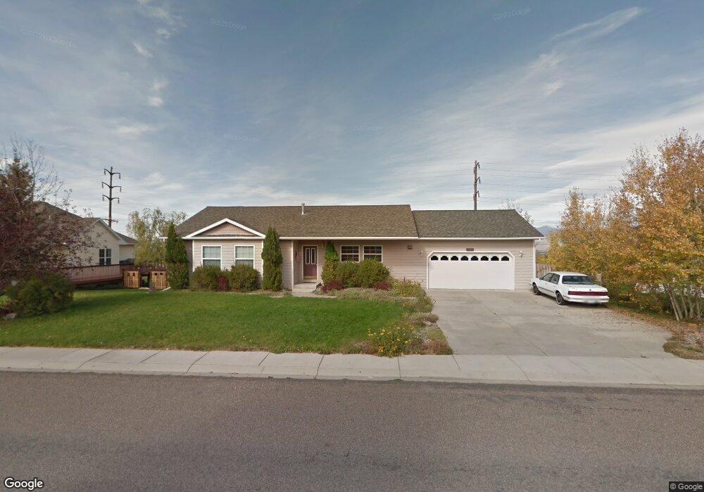
4872 Christian Dr Missoula, MT 59803
Miller Creek NeighborhoodEstimated Value: $612,000 - $714,000
4
Beds
2
Baths
--
Sq Ft
$-217,518/Sq Ft
Est. Value
About This Home
This home is located at 4872 Christian Dr, Missoula, MT 59803 and is currently estimated at $652,553. 4872 Christian Dr is a home located in Missoula County with nearby schools including Jeannette Rankin Elementary School, Porter Middle School, and Sentinel High School.
Ownership History
Date
Name
Owned For
Owner Type
Purchase Details
Closed on
Jan 12, 2006
Sold by
Ho Jenny
Bought by
Breslin Charles A and Breslin Mary Kay
Current Estimated Value
Purchase Details
Closed on
Mar 14, 2002
Sold by
Tharp Scott R and Tharp Karen T
Bought by
Ho Jenny
Home Financials for this Owner
Home Financials are based on the most recent Mortgage that was taken out on this home.
Original Mortgage
$165,400
Interest Rate
6.99%
Create a Home Valuation Report for This Property
The Home Valuation Report is an in-depth analysis detailing your home's value as well as a comparison with similar homes in the area
Home Values in the Area
Average Home Value in this Area
Purchase History
| Date | Buyer | Sale Price | Title Company |
|---|---|---|---|
| Breslin Charles A | -- | First American Title Company | |
| Ho Jenny | -- | Title Services Inc |
Source: Public Records
Mortgage History
| Date | Status | Borrower | Loan Amount |
|---|---|---|---|
| Previous Owner | Ho Jenny | $165,400 |
Source: Public Records
Tax History Compared to Growth
Tax History
| Year | Tax Paid | Tax Assessment Tax Assessment Total Assessment is a certain percentage of the fair market value that is determined by local assessors to be the total taxable value of land and additions on the property. | Land | Improvement |
|---|---|---|---|---|
| 2025 | $5,041 | $538,600 | $110,052 | $428,548 |
| 2024 | $4,758 | $417,700 | $91,283 | $326,417 |
| 2023 | $4,647 | $417,700 | $91,283 | $326,417 |
| 2022 | $3,956 | $306,200 | $0 | $0 |
| 2021 | $3,750 | $306,200 | $0 | $0 |
| 2020 | $3,570 | $279,800 | $0 | $0 |
| 2019 | $3,559 | $279,800 | $0 | $0 |
| 2018 | $3,230 | $245,993 | $0 | $0 |
| 2017 | $2,813 | $245,993 | $0 | $0 |
| 2016 | $2,763 | $224,664 | $0 | $0 |
| 2015 | $2,550 | $224,664 | $0 | $0 |
| 2014 | $2,471 | $121,635 | $0 | $0 |
Source: Public Records
Map
Nearby Homes
- 4060 Jamie Ann Ln
- 6610 Justin Ct
- 7206 Shaver Dr
- 7083 Shaver Dr
- Nhn Avery Ln
- 6650 Linda Vista Blvd
- 6994 Shaver Dr
- 5065 Jeff Dr
- 7123 Shaver Dr
- 7032 Jenaya Ct
- 7006 Max Dr
- 6915 Shaver Dr
- 7022 Max Dr
- 7070 Max Dr
- 7037 Max Dr
- Linda Vista Blvd Linda Vista Blvd
- 7155 Brooke Lynn Ct
- 7202 Shaver Dr
- 7055 Guinevere Dr
- 7044 Guinevere Dr
- 4860 Christian Dr
- 4884 Christian Dr
- 4858 Scott Allen Dr
- 4850 Scott Allen Dr
- 4848 Christian Dr
- 4896 Christian Dr
- 4866 Scott Allen Dr
- 4879 Christian Dr
- 4867 Christian Dr
- 4842 Scott Allen Dr
- 4855 Christian Dr
- 4874 Scott Allen Dr
- 4908 Christian Dr
- 4836 Christian Dr
- 4834 Scott Allen Dr
- 4843 Christian Dr
- 4882 Scott Allen Dr
- 4855 Scott Allen Dr
- 4847 Scott Allen Dr
- 4865 Jeff Dr