4873 Roxborough Dr Littleton, CO 80125
Estimated Value: $2,084,000 - $2,386,000
4
Beds
6
Baths
5,000
Sq Ft
$449/Sq Ft
Est. Value
About This Home
This home is located at 4873 Roxborough Dr, Littleton, CO 80125 and is currently estimated at $2,246,818, approximately $449 per square foot. 4873 Roxborough Dr is a home located in Douglas County with nearby schools including Roxborough Elementary School, Roxborough Intermediate School, and Ranch View Middle School.
Ownership History
Date
Name
Owned For
Owner Type
Purchase Details
Closed on
Jul 13, 2021
Sold by
Eagles Nest Stonehenge Llc
Bought by
Smith Thomas M and Smith Tammy M
Current Estimated Value
Home Financials for this Owner
Home Financials are based on the most recent Mortgage that was taken out on this home.
Original Mortgage
$1,409,000
Outstanding Balance
$1,271,478
Interest Rate
2.55%
Mortgage Type
New Conventional
Estimated Equity
$975,340
Purchase Details
Closed on
Aug 21, 2014
Sold by
Roxborough Pa-6 Llc
Bought by
Eagles Nest @ Stonehenge Llc
Create a Home Valuation Report for This Property
The Home Valuation Report is an in-depth analysis detailing your home's value as well as a comparison with similar homes in the area
Home Values in the Area
Average Home Value in this Area
Purchase History
| Date | Buyer | Sale Price | Title Company |
|---|---|---|---|
| Smith Thomas M | $2,012,896 | Land Title Guarantee Company | |
| Eagles Nest @ Stonehenge Llc | $606,000 | -- |
Source: Public Records
Mortgage History
| Date | Status | Borrower | Loan Amount |
|---|---|---|---|
| Open | Smith Thomas M | $1,409,000 |
Source: Public Records
Tax History Compared to Growth
Tax History
| Year | Tax Paid | Tax Assessment Tax Assessment Total Assessment is a certain percentage of the fair market value that is determined by local assessors to be the total taxable value of land and additions on the property. | Land | Improvement |
|---|---|---|---|---|
| 2024 | $11,839 | $131,750 | $29,150 | $102,600 |
| 2023 | $11,926 | $131,750 | $29,150 | $102,600 |
| 2022 | $7,588 | $82,030 | $22,560 | $59,470 |
| 2021 | $3,526 | $82,030 | $22,560 | $59,470 |
| 2020 | $5,668 | $59,900 | $59,900 | $0 |
| 2019 | $5,701 | $59,900 | $59,900 | $0 |
| 2018 | $2,747 | $28,000 | $28,000 | $0 |
| 2017 | $2,457 | $26,620 | $26,620 | $0 |
| 2016 | $2,660 | $28,280 | $28,280 | $0 |
| 2015 | $2,718 | $28,280 | $28,280 | $0 |
Source: Public Records
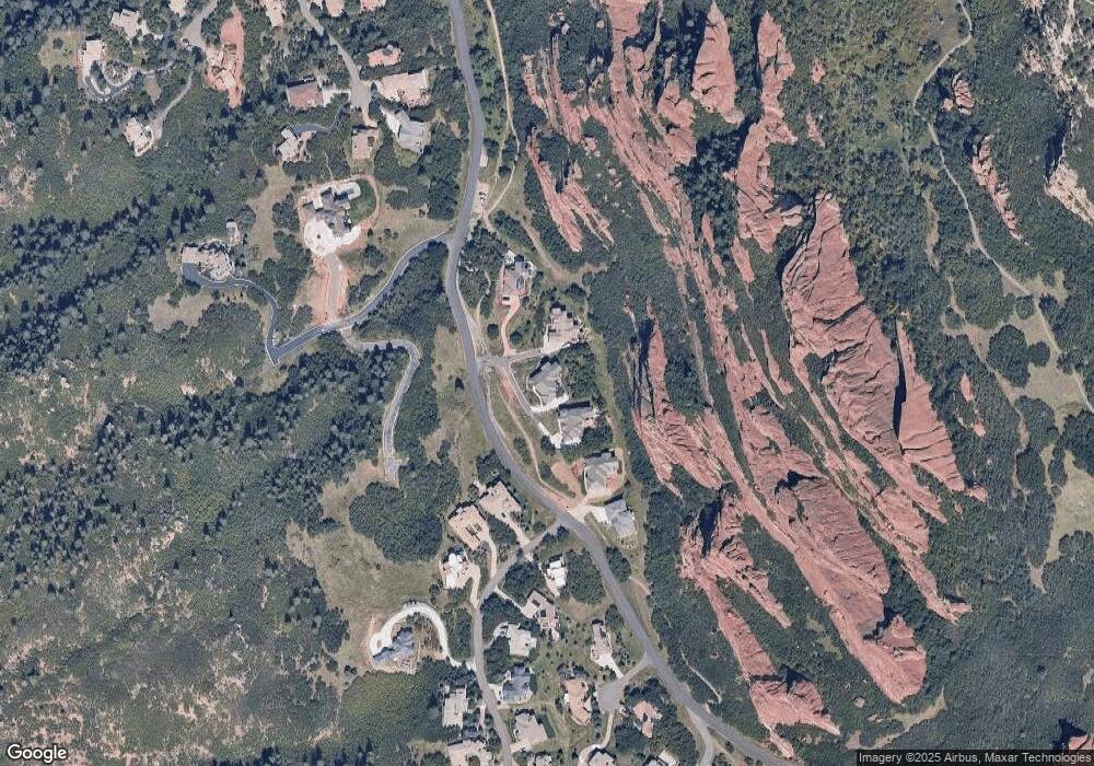
Map
Nearby Homes
- 4797 Ponderosa Trail
- 5044 Dakota Run
- 10153 Thunder Run
- 5668 Red Fern Ct
- 6406 E Roxborough Dr Unit 42
- 6362 E Roxborough Dr Unit 43
- 6494 E Roxborough Dr Unit 40
- 10592 Sandstone Run
- 5980 Rain Dance Trail
- 3755 N Rampart Range Rd
- 6450 Roxborough Dr Unit 41
- 6321 Spotted Fawn Run
- 6338 Spotted Fawn Run
- 6379 Spotted Fawn Run
- 6260 Rain Dance Trail
- 6405 Eagle Feather Trail
- 6324 Willow Broom Trail
- 6424 Willow Broom Trail
- 6480 Willow Broom Trail
- 6753 Big Horn Trail
- 4871 Roxborough Dr
- 4875 Roxborough Dr
- 4793 Roxborough Dr
- 4877 Roxborough Dr
- 4801 Ponderosa Trail
- 4798 Ponderosa Trail
- 4777 Ponderosa Trail
- 10343 Foxcroft Ln
- 4788 Ponderosa Trail
- 4805 Carpenter Trail
- 4768 Ponderosa Trail
- 10143 W Cavalry Run
- 5023 Dakota Run
- 4748 Ponderosa Trail
- 4757 Ponderosa Trail
- 10153 W Cavalry Run
- 10144 W Cavalry Run
- 5033 Dakota Run
- 4737 Ponderosa Trail
- 4728 Ponderosa Trail