4881 Private Road 1612 West Plains, MO 65775
Estimated Value: $129,326 - $326,000
--
Bed
--
Bath
--
Sq Ft
4.4
Acres
About This Home
This home is located at 4881 Private Road 1612, West Plains, MO 65775 and is currently estimated at $192,082. 4881 Private Road 1612 is a home.
Ownership History
Date
Name
Owned For
Owner Type
Purchase Details
Closed on
May 7, 2012
Sold by
Smith Robert G
Bought by
Kight Roger
Current Estimated Value
Home Financials for this Owner
Home Financials are based on the most recent Mortgage that was taken out on this home.
Original Mortgage
$43,000
Outstanding Balance
$29,960
Interest Rate
4.02%
Mortgage Type
Purchase Money Mortgage
Estimated Equity
$162,122
Purchase Details
Closed on
Mar 17, 2011
Sold by
Homesales Inc
Bought by
Kight Roger
Home Financials for this Owner
Home Financials are based on the most recent Mortgage that was taken out on this home.
Original Mortgage
$70,000
Interest Rate
4.78%
Mortgage Type
Purchase Money Mortgage
Purchase Details
Closed on
Dec 20, 2010
Sold by
Hicks Bennie D
Bought by
Kight Roger
Home Financials for this Owner
Home Financials are based on the most recent Mortgage that was taken out on this home.
Original Mortgage
$33,500
Interest Rate
4.18%
Mortgage Type
Seller Take Back
Create a Home Valuation Report for This Property
The Home Valuation Report is an in-depth analysis detailing your home's value as well as a comparison with similar homes in the area
Home Values in the Area
Average Home Value in this Area
Purchase History
| Date | Buyer | Sale Price | Title Company |
|---|---|---|---|
| Kight Roger | -- | Btc | |
| Kight Roger | -- | None Available | |
| Kight Roger | -- | Btc |
Source: Public Records
Mortgage History
| Date | Status | Borrower | Loan Amount |
|---|---|---|---|
| Open | Kight Roger | $43,000 | |
| Previous Owner | Kight Roger | $70,000 | |
| Previous Owner | Kight Roger | $33,500 |
Source: Public Records
Tax History Compared to Growth
Tax History
| Year | Tax Paid | Tax Assessment Tax Assessment Total Assessment is a certain percentage of the fair market value that is determined by local assessors to be the total taxable value of land and additions on the property. | Land | Improvement |
|---|---|---|---|---|
| 2025 | $487 | $16,020 | $4,360 | $11,660 |
| 2024 | $486 | $14,310 | -- | -- |
| 2023 | $486 | $14,310 | $0 | $0 |
| 2022 | $464 | $13,670 | $0 | $0 |
| 2021 | $449 | $13,670 | $0 | $0 |
| 2020 | $449 | $13,160 | $0 | $0 |
| 2019 | $475 | $13,160 | $0 | $0 |
| 2018 | $455 | $12,590 | $0 | $0 |
| 2017 | $455 | $12,590 | $0 | $0 |
| 2015 | -- | $12,590 | $0 | $0 |
| 2014 | -- | $22,660 | $0 | $0 |
| 2013 | -- | $22,660 | $0 | $0 |
Source: Public Records
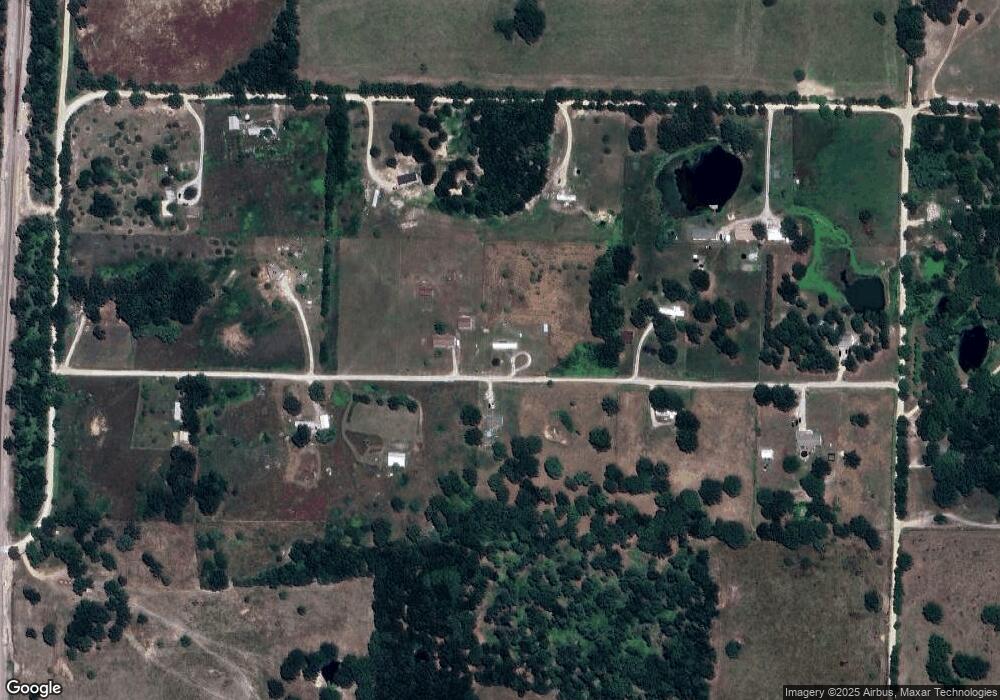
Map
Nearby Homes
- 3440 N Us Highway 63
- 7230 Private Road 1830
- 5562 Private Road 2023
- 5773 County Road 1370
- 4499 County Road 4300
- 4675 County Road 1340
- 5578 Private Road 1200
- 000 Lot 2 Block 13 Morrison Sub
- 3002 Ginger Dr
- 000 Lot 4 Block 13 Morrison Sub
- 000 County Road 1370
- 000 Oak Estates
- 000 Rhonda Dr
- 000 County Road 2010
- 2823 Laurie Ave
- 2821 Christie Dr
- 000 Ginger Dr
- 2818 Christie Dr
- 2704 Jennifer Dr
- 2707 Ridgewood Dr
- 4849 Private Road 1612
- 4882 Private Road 1612
- 6389 County Road 1610
- 6357 County Road 1610
- 4930 Private Road 1612
- 4850 Private Road 1612
- 4948 Private Road 1612
- 4947 Private Road 1612
- 4805 Private Road 1612
- 6335 County Road 1610
- 6455 County Road 1610
- 4981 Private Road 1612
- 4974 Private Road 1612
- 6205 County Road 1610
- 6522 County Road 1610
- 4850 Private Road 1612
- 6562 County Road 1610
- Tbd County Road 1610
- 0 County Road 1610
- 4660 County Road 1560