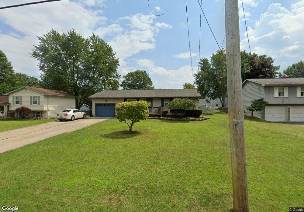
4885 New Rd Youngstown, OH 44515
Austintown NeighborhoodEstimated Value: $142,010 - $169,000
3
Beds
1
Bath
1,040
Sq Ft
$152/Sq Ft
Est. Value
About This Home
This home is located at 4885 New Rd, Youngstown, OH 44515 and is currently estimated at $158,253, approximately $152 per square foot. 4885 New Rd is a home located in Mahoning County with nearby schools including Austintown Elementary School, Austintown Intermediate School, and Austintown Middle School.
Ownership History
Date
Name
Owned For
Owner Type
Purchase Details
Closed on
Apr 29, 2005
Sold by
Button Christopher D and Button Angela M
Bought by
Boggs Tracey A
Current Estimated Value
Home Financials for this Owner
Home Financials are based on the most recent Mortgage that was taken out on this home.
Original Mortgage
$86,600
Outstanding Balance
$45,761
Interest Rate
6.05%
Mortgage Type
Fannie Mae Freddie Mac
Estimated Equity
$112,492
Purchase Details
Closed on
Dec 27, 1990
Bought by
Basile Fay
Create a Home Valuation Report for This Property
The Home Valuation Report is an in-depth analysis detailing your home's value as well as a comparison with similar homes in the area
Home Values in the Area
Average Home Value in this Area
Purchase History
| Date | Buyer | Sale Price | Title Company |
|---|---|---|---|
| Boggs Tracey A | $86,600 | -- | |
| Basile Fay | $30,000 | -- |
Source: Public Records
Mortgage History
| Date | Status | Borrower | Loan Amount |
|---|---|---|---|
| Open | Boggs Tracey A | $86,600 |
Source: Public Records
Tax History Compared to Growth
Tax History
| Year | Tax Paid | Tax Assessment Tax Assessment Total Assessment is a certain percentage of the fair market value that is determined by local assessors to be the total taxable value of land and additions on the property. | Land | Improvement |
|---|---|---|---|---|
| 2024 | $1,532 | $33,440 | $3,510 | $29,930 |
| 2023 | $1,508 | $33,440 | $3,510 | $29,930 |
| 2022 | $1,352 | $24,040 | $3,510 | $20,530 |
| 2021 | $1,353 | $24,040 | $3,510 | $20,530 |
| 2020 | $1,359 | $24,040 | $3,510 | $20,530 |
| 2019 | $1,322 | $21,280 | $3,110 | $18,170 |
| 2018 | $1,272 | $21,280 | $3,110 | $18,170 |
| 2017 | $1,293 | $21,280 | $3,110 | $18,170 |
| 2016 | $1,317 | $21,870 | $3,110 | $18,760 |
| 2015 | $1,277 | $21,870 | $3,110 | $18,760 |
| 2014 | $1,282 | $21,870 | $3,110 | $18,760 |
| 2013 | $1,269 | $21,870 | $3,110 | $18,760 |
Source: Public Records
Map
Nearby Homes
- 4815 New Rd
- 1707 Westhampton Dr
- 1339 Cavalcade Dr
- 2211 Penny Ln
- 4689 Crabwood Dr
- 1228 Cavalcade Dr
- 5256 S Saratoga Ave
- 5179 Willow Crest Ave
- 316 S Inglewood Ave
- 2493 Frostwood Dr
- 4674 Barrington Dr
- 5192 Pinecrest Ave
- 5318 Pinecrest Ave
- 170 Idaho Rd
- 4314 Kerrybrook Dr
- 148 Marcia Dr
- 124 S Inglewood Ave
- 5678 Cider Mill Crossing
- 4234 Burkey Rd
- 4263 Patricia Ave