489 Lakeshore Pointe Dr Unit 179 Howell, MI 48843
Estimated Value: $441,000 - $707,000
2
Beds
3
Baths
2,001
Sq Ft
$265/Sq Ft
Est. Value
About This Home
This home is located at 489 Lakeshore Pointe Dr Unit 179, Howell, MI 48843 and is currently estimated at $531,094, approximately $265 per square foot. 489 Lakeshore Pointe Dr Unit 179 is a home located in Livingston County with nearby schools including Northwest Elementary School, Highlander Way Middle School, and Howell High School.
Ownership History
Date
Name
Owned For
Owner Type
Purchase Details
Closed on
Nov 25, 1998
Sold by
Delcor Homes Lake Shore Pointe Ltd
Bought by
Schmittling Gary A and Schmittling Christine M
Current Estimated Value
Home Financials for this Owner
Home Financials are based on the most recent Mortgage that was taken out on this home.
Original Mortgage
$190,000
Interest Rate
6.83%
Create a Home Valuation Report for This Property
The Home Valuation Report is an in-depth analysis detailing your home's value as well as a comparison with similar homes in the area
Home Values in the Area
Average Home Value in this Area
Purchase History
| Date | Buyer | Sale Price | Title Company |
|---|---|---|---|
| Schmittling Gary A | $120,000 | -- |
Source: Public Records
Mortgage History
| Date | Status | Borrower | Loan Amount |
|---|---|---|---|
| Previous Owner | Schmittling Gary A | $190,000 |
Source: Public Records
Tax History Compared to Growth
Tax History
| Year | Tax Paid | Tax Assessment Tax Assessment Total Assessment is a certain percentage of the fair market value that is determined by local assessors to be the total taxable value of land and additions on the property. | Land | Improvement |
|---|---|---|---|---|
| 2025 | $5,235 | $277,200 | $0 | $0 |
| 2024 | $3,358 | $264,600 | $0 | $0 |
| 2023 | $3,207 | $241,300 | $0 | $0 |
| 2022 | $1,542 | $210,500 | $0 | $0 |
| 2021 | $4,449 | $222,900 | $0 | $0 |
| 2020 | $4,497 | $210,500 | $0 | $0 |
| 2019 | $4,436 | $210,000 | $0 | $0 |
| 2018 | $4,433 | $223,100 | $0 | $0 |
| 2017 | $4,380 | $222,100 | $0 | $0 |
| 2016 | $4,353 | $214,400 | $0 | $0 |
| 2014 | $4,433 | $175,400 | $0 | $0 |
| 2012 | $4,433 | $167,100 | $0 | $0 |
Source: Public Records
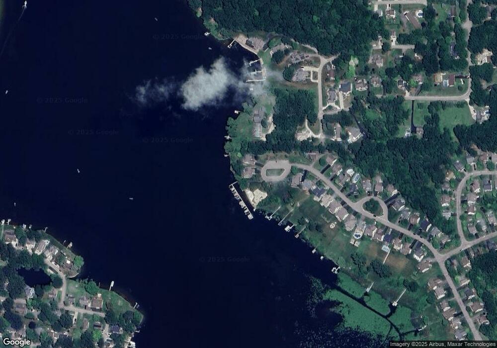
Map
Nearby Homes
- 928 Westwind Shore Dr
- VACANT LOT Thompson Shore Dr
- 477 Chicago Dr
- 330 Harvard Dr
- Vac Harvard Dr
- 1088 River Line Dr Unit 324
- 125 University Dr
- 3020 Brookline
- 2160 E Grand River Ave
- 100 Lucy Rd
- 734 E Grand River Ave
- 709 E Clinton St
- 1471 Douglas Fir Ct
- 1633 Frech Ln
- 419 N State St
- 809 N Michigan Ave
- 1019 N Michigan Ave
- 2607 E Grand River Ave
- 2511 Kerria Dr Unit 42
- 103 Victoria Park Dr Unit 2
- 500 Lakeshore Pointe Dr Unit 180
- 2323 Melton Dr
- 469 Lakeshore Pointe Dr Unit 178
- 2335 Melton Dr
- 369 Melton Dr
- 2347 Melton Dr
- 461 Lakeshore Pointe Dr
- 453 Lakeshore Pointe Dr Unit Bldg-Unit
- 453 Lakeshore Pointe Dr Unit 176
- 462 Lakeshore Pointe Dr Unit 181
- 445 Lakeshore Pointe Dr
- 456 Lakeshore Pointe Dr Unit 182
- 2378 Melton Dr
- 437 Lakeshore Pointe Dr Unit 174
- 444 Lakeshore Pointe Dr Unit 183
- 429 Lakeshore Pointe Dr
- 430 Lakeshore Pointe Dr
- 910 Westwind Shore Dr
- 2364 Melton Dr
- 929 Westwind Shore Dr