4896 Ashton Curve Saint Paul, MN 55129
Estimated Value: $722,000 - $772,000
5
Beds
5
Baths
3,342
Sq Ft
$225/Sq Ft
Est. Value
About This Home
This home is located at 4896 Ashton Curve, Saint Paul, MN 55129 and is currently estimated at $753,220, approximately $225 per square foot. 4896 Ashton Curve is a home with nearby schools including Red Rock Elementary School, Lake Middle School, and East Ridge High School.
Ownership History
Date
Name
Owned For
Owner Type
Purchase Details
Closed on
Nov 2, 2020
Sold by
Valluri Muralidhar and Valluri Sita Ratnam
Bought by
Valluri Muralidhar and Valluri Sita Ratnam
Current Estimated Value
Home Financials for this Owner
Home Financials are based on the most recent Mortgage that was taken out on this home.
Original Mortgage
$383,147
Outstanding Balance
$309,160
Interest Rate
2.8%
Mortgage Type
New Conventional
Estimated Equity
$444,060
Purchase Details
Closed on
Aug 26, 2016
Sold by
Us Home Corporation
Bought by
Valluri Muralidhar and Mutyala Sita Ratnam
Home Financials for this Owner
Home Financials are based on the most recent Mortgage that was taken out on this home.
Original Mortgage
$417,000
Interest Rate
3.45%
Mortgage Type
New Conventional
Create a Home Valuation Report for This Property
The Home Valuation Report is an in-depth analysis detailing your home's value as well as a comparison with similar homes in the area
Home Values in the Area
Average Home Value in this Area
Purchase History
| Date | Buyer | Sale Price | Title Company |
|---|---|---|---|
| Valluri Muralidhar | -- | Silk Abstract Company | |
| Valluri Muralidhar | $523,984 | North American Title Company |
Source: Public Records
Mortgage History
| Date | Status | Borrower | Loan Amount |
|---|---|---|---|
| Open | Valluri Muralidhar | $383,147 | |
| Closed | Valluri Muralidhar | $417,000 |
Source: Public Records
Tax History Compared to Growth
Tax History
| Year | Tax Paid | Tax Assessment Tax Assessment Total Assessment is a certain percentage of the fair market value that is determined by local assessors to be the total taxable value of land and additions on the property. | Land | Improvement |
|---|---|---|---|---|
| 2024 | $9,238 | $716,000 | $176,500 | $539,500 |
| 2023 | $9,238 | $735,600 | $196,500 | $539,100 |
| 2022 | $7,862 | $690,600 | $180,000 | $510,600 |
| 2021 | $7,690 | $575,500 | $150,000 | $425,500 |
| 2020 | $7,980 | $569,900 | $140,000 | $429,900 |
| 2019 | $7,880 | $578,200 | $140,000 | $438,200 |
| 2018 | $7,508 | $553,400 | $140,000 | $413,400 |
| 2017 | $628 | $523,900 | $125,000 | $398,900 |
| 2016 | $540 | $115,000 | $115,000 | $0 |
| 2015 | -- | $0 | $0 | $0 |
Source: Public Records
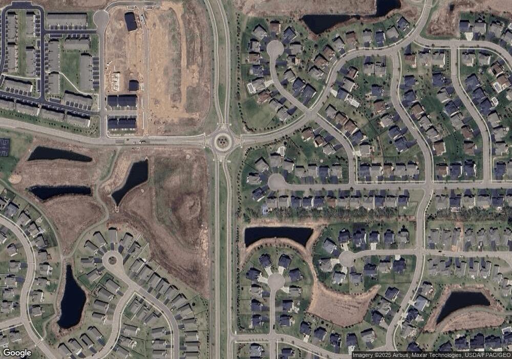
Map
Nearby Homes
- 4764 Ashton Curve
- 4418 Ashton Curve
- 5174 Sundial Ln
- 5194 Sundial Ln
- 4983 Sunflower Dr
- 5237 Windlass Dr
- 5234 Sundial Ln
- 5054 Dale Ridge Rd
- The Somerset 3 Plan at The Villas at Summerhill Woodbury
- The Somerset 4 Plan at The Villas at Summerhill Woodbury
- The Somerset 2 Plan at The Villas at Summerhill Woodbury
- The Somerset 2B Plan at The Villas at Summerhill Woodbury
- The Somerset 1 Plan at The Villas at Summerhill Woodbury
- 9125 Compass Pointe Rd
- Vanderbilt Plan at Westwind - Landmark Collection
- Springfield Plan at Westwind - Discovery Collection
- Itasca Plan at Westwind - Landmark Collection
- McKinley Plan at Westwind - Landmark Collection
- Bristol Plan at Westwind - Discovery Collection
- Lewis Plan at Westwind - Landmark Collection
- 4882 Ashton Curve
- 4895 Ashton Curve
- 4883 Ashton Curve
- 4872 Ashton Curve
- 4871 Ashton Curve
- 4860 Ashton Curve
- 4848 Ashton Curve
- 4859 Ashton Curve
- 4836 Ashton Curve
- 4606 Bailey Lake Cir
- 4744 Bluestem Way
- 4602 Bailey Rd
- 4835 Ashton Curve
- 4824 Ashton Curve
- 4604 Bailey Lake Cir
- 4756 Bluestem Way
- 9008 Bur Oak Ct
- 4602 Bailey Lake Cir
- 4768 Bluestem Way
- 4823 Ashton Curve