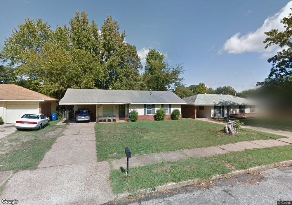
4896 Blanding Ave Memphis, TN 38118
Parkway Village NeighborhoodEstimated Value: $140,000 - $150,319
3
Beds
2
Baths
1,824
Sq Ft
$80/Sq Ft
Est. Value
About This Home
This home is located at 4896 Blanding Ave, Memphis, TN 38118 and is currently estimated at $146,580, approximately $80 per square foot. 4896 Blanding Ave is a home located in Shelby County with nearby schools including Cromwell Elementary School, Wooddale High School, and Wooddale Middle School.
Ownership History
Date
Name
Owned For
Owner Type
Purchase Details
Closed on
Nov 9, 2004
Sold by
Malone Janet S
Bought by
Sherrod Arlisha
Current Estimated Value
Home Financials for this Owner
Home Financials are based on the most recent Mortgage that was taken out on this home.
Original Mortgage
$78,500
Outstanding Balance
$44,187
Interest Rate
7.75%
Mortgage Type
Purchase Money Mortgage
Estimated Equity
$102,393
Purchase Details
Closed on
Sep 29, 1994
Bought by
Malone Janet S
Create a Home Valuation Report for This Property
The Home Valuation Report is an in-depth analysis detailing your home's value as well as a comparison with similar homes in the area
Home Values in the Area
Average Home Value in this Area
Purchase History
| Date | Buyer | Sale Price | Title Company |
|---|---|---|---|
| Sherrod Arlisha | $78,500 | Equity Title & Escrow Co | |
| Malone Janet S | $65,000 | -- |
Source: Public Records
Mortgage History
| Date | Status | Borrower | Loan Amount |
|---|---|---|---|
| Open | Sherrod Arlisha | $78,500 |
Source: Public Records
Tax History Compared to Growth
Tax History
| Year | Tax Paid | Tax Assessment Tax Assessment Total Assessment is a certain percentage of the fair market value that is determined by local assessors to be the total taxable value of land and additions on the property. | Land | Improvement |
|---|---|---|---|---|
| 2025 | $763 | $38,525 | $5,000 | $33,525 |
| 2024 | $763 | $22,500 | $3,350 | $19,150 |
| 2023 | $1,371 | $22,500 | $3,350 | $19,150 |
| 2022 | $1,371 | $22,500 | $3,350 | $19,150 |
| 2021 | $1,387 | $22,500 | $3,350 | $19,150 |
| 2020 | $1,310 | $18,075 | $3,350 | $14,725 |
| 2019 | $1,310 | $18,075 | $3,350 | $14,725 |
| 2018 | $1,310 | $18,075 | $3,350 | $14,725 |
| 2017 | $743 | $18,075 | $3,350 | $14,725 |
| 2016 | $776 | $17,750 | $0 | $0 |
| 2014 | $776 | $17,750 | $0 | $0 |
Source: Public Records
Map
Nearby Homes
- 4833 Scottsdale Ave
- 3287 Boxdale St
- 3240 Boxdale St
- 3408 Clearbrook St
- 4947 Demeter Cove
- 3274 Gaylord Ln
- 3388 Jenkins St
- 4864 Cloister Ave
- 3419 Freland Dr
- 3395 Mckenzie St Unit 35581
- 4817 Wooddale Ave
- 3339 S Perkins Rd
- 3347 S Perkins Rd
- 4763 Wooddale Ave
- 3515 Wooddale Cove
- 5134 Scottsdale Ave
- 5126 Kittie Lee Ln
- 5051 Bryndale Ave
- 3075 Dewitt Cove
- 4616 Blanding Dr
- 4890 Blanding Ave
- 4904 Blanding Ave
- 4887 Charrin Cove
- 4884 Blanding Ave
- 3341 Starsdale St
- 3331 Starsdale St
- 4885 Charrin Cove
- 4895 Blanding Ave
- 4889 Blanding Ave
- 4903 Blanding Ave
- 3325 Starsdale St
- 4876 Blanding Ave
- 4889 Charrin Cove
- 4883 Blanding Ave
- 3357 Starsdale St
- 4883 Charrin Cove
- 3317 Starsdale St
- 4870 Blanding Ave
- 4875 Blanding Ave
- 3340 Starsdale St