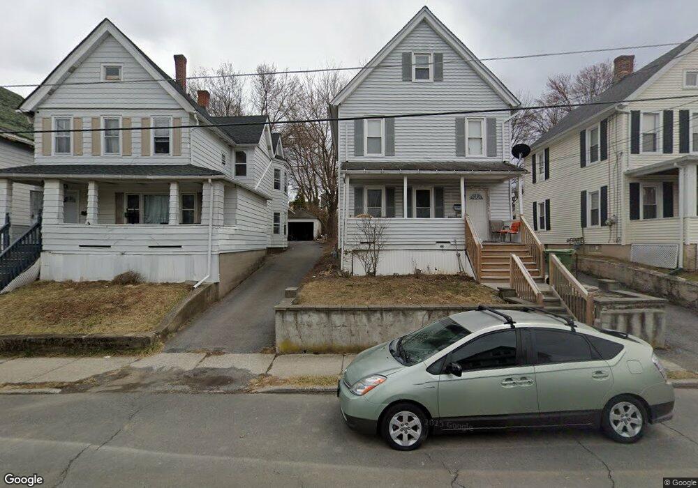
49 Broad St Unit 2 Middletown, NY 10940
Estimated Value: $285,379 - $384,000
1
Bed
1
Bath
616
Sq Ft
$568/Sq Ft
Est. Value
About This Home
This home is located at 49 Broad St Unit 2, Middletown, NY 10940 and is currently estimated at $350,095, approximately $568 per square foot. 49 Broad St Unit 2 is a home located in Orange County with nearby schools including William A. Carter School, Middletown Twin Towers Middle School, and Monhagen Middle School.
Ownership History
Date
Name
Owned For
Owner Type
Purchase Details
Closed on
Oct 31, 2017
Sold by
Ingram Jacob
Bought by
49 Broad Inc
Current Estimated Value
Purchase Details
Closed on
Aug 10, 2016
Sold by
National Residential Assets Corp
Bought by
Ingram Jacob
Purchase Details
Closed on
Apr 5, 2016
Sold by
Soto-Flores Luis E
Bought by
National Residential Assets Corporation
Purchase Details
Closed on
May 1, 2006
Sold by
Calli Jr. Anthony and Calli Francis D
Bought by
Flores Luis E. Soto
Purchase Details
Closed on
May 5, 2004
Sold by
Calli Anthony L
Bought by
Calli Jr. Anthony L
Create a Home Valuation Report for This Property
The Home Valuation Report is an in-depth analysis detailing your home's value as well as a comparison with similar homes in the area
Home Values in the Area
Average Home Value in this Area
Purchase History
| Date | Buyer | Sale Price | Title Company |
|---|---|---|---|
| 49 Broad Inc | -- | Emily Cajigas | |
| Ingram Jacob | $96,900 | Emily Cajigas | |
| National Residential Assets Corporation | $188,765 | J. Eric Charlton | |
| Flores Luis E. Soto | $199,820 | Victor Guzman | |
| Calli Jr. Anthony L | -- | Thomas J. Darcy |
Source: Public Records
Tax History
| Year | Tax Paid | Tax Assessment Tax Assessment Total Assessment is a certain percentage of the fair market value that is determined by local assessors to be the total taxable value of land and additions on the property. | Land | Improvement |
|---|---|---|---|---|
| 2024 | $4,804 | $17,500 | $4,700 | $12,800 |
| 2023 | $4,804 | $17,500 | $4,700 | $12,800 |
| 2022 | $4,705 | $17,500 | $4,700 | $12,800 |
| 2021 | $4,950 | $17,500 | $4,700 | $12,800 |
| 2020 | $2,027 | $17,500 | $4,700 | $12,800 |
| 2019 | $1,972 | $17,500 | $4,700 | $12,800 |
| 2018 | $4,701 | $17,500 | $4,700 | $12,800 |
| 2017 | $4,558 | $17,500 | $4,700 | $12,800 |
| 2016 | $4,570 | $17,500 | $4,700 | $12,800 |
| 2015 | -- | $17,500 | $4,700 | $12,800 |
| 2014 | -- | $17,500 | $4,700 | $12,800 |
Source: Public Records
Map
Nearby Homes
- 96-96.5 Beattie Ave Unit 2
- 21 Ridge St
- 26 Ridge St
- 17 Magnolia Park Rd
- 20 Benton Ave
- 86 Linden Ave
- 138-1/2 Linden Ave
- 76 Magnolia Park Rd
- 212 Cottage St
- 17 Little Ave
- 35 East Ave
- 10 Royce Ave
- 28 Spring St
- 96 Belmont Ave
- 7015 James Francis Dr
- 7010 James Francis Dr
- 143 N Beacon St
- 2 Danielle Ct
- 21-23 Highland Ave
- 47 Brick Pond Rd Unit 47
Your Personal Tour Guide
Ask me questions while you tour the home.