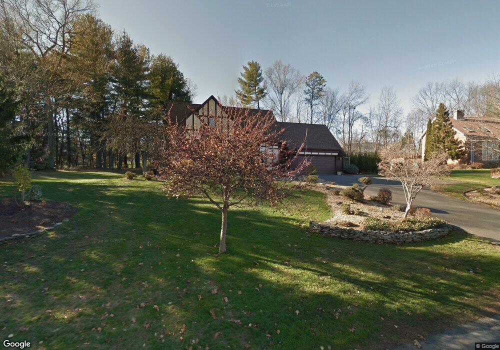
49 Christopher Terrace West Springfield, MA 01089
Estimated Value: $490,992 - $745,000
3
Beds
3
Baths
2,200
Sq Ft
$252/Sq Ft
Est. Value
About This Home
This home is located at 49 Christopher Terrace, West Springfield, MA 01089 and is currently estimated at $555,498, approximately $252 per square foot. 49 Christopher Terrace is a home located in Hampden County with nearby schools including West Springfield High School, Holyoke Community Charter School, and Blessed Sacrament School.
Ownership History
Date
Name
Owned For
Owner Type
Purchase Details
Closed on
May 30, 1996
Sold by
Gladu Leslie G
Bought by
Hillios Stewart T and Alevras Carol A
Current Estimated Value
Home Financials for this Owner
Home Financials are based on the most recent Mortgage that was taken out on this home.
Original Mortgage
$156,000
Interest Rate
7.91%
Mortgage Type
Purchase Money Mortgage
Create a Home Valuation Report for This Property
The Home Valuation Report is an in-depth analysis detailing your home's value as well as a comparison with similar homes in the area
Home Values in the Area
Average Home Value in this Area
Purchase History
| Date | Buyer | Sale Price | Title Company |
|---|---|---|---|
| Hillios Stewart T | $195,000 | -- |
Source: Public Records
Mortgage History
| Date | Status | Borrower | Loan Amount |
|---|---|---|---|
| Open | Hillios Stewart T | $153,000 | |
| Closed | Hillios Stewart T | $156,000 | |
| Previous Owner | Hillios Stewart T | $70,000 | |
| Previous Owner | Hillios Stewart T | $85,000 |
Source: Public Records
Tax History Compared to Growth
Tax History
| Year | Tax Paid | Tax Assessment Tax Assessment Total Assessment is a certain percentage of the fair market value that is determined by local assessors to be the total taxable value of land and additions on the property. | Land | Improvement |
|---|---|---|---|---|
| 2025 | $6,094 | $409,800 | $128,000 | $281,800 |
| 2024 | $6,102 | $412,000 | $128,000 | $284,000 |
| 2023 | $5,563 | $358,000 | $141,600 | $216,400 |
| 2022 | $5,117 | $324,700 | $128,700 | $196,000 |
| 2021 | $5,002 | $296,000 | $122,100 | $173,900 |
| 2020 | $5,019 | $295,400 | $122,100 | $173,300 |
| 2019 | $5,010 | $295,400 | $122,100 | $173,300 |
| 2018 | $5,037 | $295,400 | $122,100 | $173,300 |
| 2017 | $5,037 | $295,400 | $122,100 | $173,300 |
| 2016 | $5,128 | $301,800 | $117,200 | $184,600 |
| 2015 | $5,031 | $296,100 | $115,100 | $181,000 |
| 2014 | $1,223 | $296,100 | $115,100 | $181,000 |
Source: Public Records
Map
Nearby Homes
- 39 Bonnie Brae Dr
- 59 Clayton Dr
- 11 Annie's Way
- 9 Annie's Way
- 12 Victorian Dr
- 89-111 Whitney Ave
- 26 Clayton Dr
- lot b Homestead Ave
- 59 Beech Hill Rd
- 114 Connecticut Ave
- 86 Birnie Ave
- 75 Birnie Ave
- 80 Brush Hill Ave Unit 35
- 80 Brush Hill Ave Unit 28
- 80 Brush Hill Ave Unit 32
- 794 Homestead Ave
- 36 Susan Dr
- Lot 3 Hyde Rd
- 53 Farnum Dr Unit 53
- 86 Beaumont Ave
- 61 Christopher Terrace
- 31 Christopher Terrace
- 112 Quarry Rd
- 75 Christopher Terrace
- Lot 6 Tiara Ln
- Lot 8 Tiara Ln
- Lot 2 Tiara Ln
- Lot 10 Tiara Ln
- 42 Tiara Ln
- 54 Christopher Terrace
- 289 Christopher Terrace
- 44 Christopher Terrace
- 110 Quarry Rd
- 11 Christopher Terrace
- 54 Tiara Ln
- 87 Christopher Terrace
- 270 Christopher Terrace
- 277 Christopher Terrace
- 26 Christopher Terrace
- 68 Tiara Ln