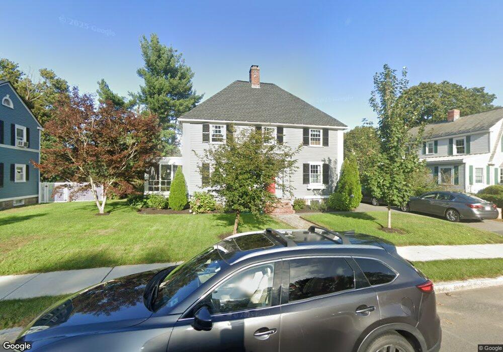
49 Enmore St Andover, MA 01810
Shawsheen Heights NeighborhoodEstimated Value: $936,000 - $992,831
4
Beds
3
Baths
2,547
Sq Ft
$377/Sq Ft
Est. Value
About This Home
This home is located at 49 Enmore St, Andover, MA 01810 and is currently estimated at $959,958, approximately $376 per square foot. 49 Enmore St is a home located in Essex County with nearby schools including West Elementary School, Andover West Middle School, and Andover High School.
Ownership History
Date
Name
Owned For
Owner Type
Purchase Details
Closed on
Jan 15, 2004
Sold by
Shrestinian David A and Shrestinian Simone J
Bought by
Debenedictis Paul A and Debenedictis Regina C
Current Estimated Value
Home Financials for this Owner
Home Financials are based on the most recent Mortgage that was taken out on this home.
Original Mortgage
$322,700
Outstanding Balance
$149,397
Interest Rate
5.98%
Mortgage Type
Purchase Money Mortgage
Estimated Equity
$810,561
Purchase Details
Closed on
Jun 28, 1991
Sold by
Farley Steven P
Bought by
Shrestinian David A
Create a Home Valuation Report for This Property
The Home Valuation Report is an in-depth analysis detailing your home's value as well as a comparison with similar homes in the area
Home Values in the Area
Average Home Value in this Area
Purchase History
| Date | Buyer | Sale Price | Title Company |
|---|---|---|---|
| Debenedictis Paul A | $482,500 | -- | |
| Debenedictis Paul A | $482,500 | -- | |
| Shrestinian David A | $200,000 | -- | |
| Shrestinian David A | $200,000 | -- |
Source: Public Records
Mortgage History
| Date | Status | Borrower | Loan Amount |
|---|---|---|---|
| Open | Debenedictis Paul A | $322,700 | |
| Closed | Shrestinian David A | $322,700 | |
| Previous Owner | Shrestinian David A | $272,000 |
Source: Public Records
Tax History Compared to Growth
Tax History
| Year | Tax Paid | Tax Assessment Tax Assessment Total Assessment is a certain percentage of the fair market value that is determined by local assessors to be the total taxable value of land and additions on the property. | Land | Improvement |
|---|---|---|---|---|
| 2024 | $10,482 | $813,800 | $464,800 | $349,000 |
| 2023 | $10,044 | $735,300 | $418,700 | $316,600 |
| 2022 | $9,512 | $651,500 | $370,500 | $281,000 |
| 2021 | $9,084 | $594,100 | $336,900 | $257,200 |
| 2020 | $8,707 | $580,100 | $328,700 | $251,400 |
| 2019 | $8,197 | $536,800 | $291,100 | $245,700 |
| 2018 | $7,815 | $499,700 | $274,600 | $225,100 |
| 2017 | $7,475 | $492,400 | $269,300 | $223,100 |
| 2016 | $7,040 | $475,000 | $251,900 | $223,100 |
| 2015 | $6,768 | $452,100 | $242,300 | $209,800 |
Source: Public Records
Map
Nearby Homes
- 156 High St
- 1 Longwood Dr Unit 105
- 6 Windsor St
- 170 Haverhill St Unit 138
- 20 Walnut Ave
- 2 Powder Mill Square Unit 2B
- 105 Elm St Unit A
- 42 Stevens St
- 88 Kingston St
- 156 Kingston St Unit 156
- 2 Kingston St Unit 2
- 102 Weare St
- 32 Lucerne Dr
- Lot 7 Weeping Willow Dr
- 21 Clubview Dr Unit 21
- 70 Farrwood Ave Unit 7
- 5 Lafayette Ave
- 75 Edgelawn Ave Unit 1
- 34 Leeds Terrace
- 180 Chickering Rd Unit 310C
- 51 Enmore St
- 47 Enmore St
- 15 Linwood St
- 17 Linwood St
- 50 Enmore St
- 11 Linwood St
- 11 Linwood St Unit A
- 53 Enmore St
- 48 Enmore St
- 41 Enmore St
- 52 Enmore St
- 9 Linwood St
- 16 Linwood St
- 20 Linwood St
- 59 Haverhill St
- 59 Haverhill St Unit B
- 59 Haverhill St Unit A
- 59 Haverhill St Unit 1
- 59 Haverhill St Unit 2
- 42 Enmore St