49 Gun Creek Rd Cushing, ME 04563
Estimated Value: $728,943 - $988,000
--
Bed
--
Bath
--
Sq Ft
5.6
Acres
About This Home
This home is located at 49 Gun Creek Rd, Cushing, ME 04563 and is currently estimated at $836,986. 49 Gun Creek Rd is a home located in Knox County with nearby schools including Cushing Community School and Oceanside High School East.
Ownership History
Date
Name
Owned For
Owner Type
Purchase Details
Closed on
Aug 8, 2017
Sold by
Walker David E and Walker Zella F
Bought by
Michaud Brian and Michaud Corinne
Current Estimated Value
Home Financials for this Owner
Home Financials are based on the most recent Mortgage that was taken out on this home.
Original Mortgage
$288,000
Outstanding Balance
$230,480
Interest Rate
3.9%
Mortgage Type
Commercial
Estimated Equity
$606,506
Create a Home Valuation Report for This Property
The Home Valuation Report is an in-depth analysis detailing your home's value as well as a comparison with similar homes in the area
Home Values in the Area
Average Home Value in this Area
Purchase History
| Date | Buyer | Sale Price | Title Company |
|---|---|---|---|
| Michaud Brian | -- | -- |
Source: Public Records
Mortgage History
| Date | Status | Borrower | Loan Amount |
|---|---|---|---|
| Open | Michaud Brian | $288,000 |
Source: Public Records
Tax History Compared to Growth
Tax History
| Year | Tax Paid | Tax Assessment Tax Assessment Total Assessment is a certain percentage of the fair market value that is determined by local assessors to be the total taxable value of land and additions on the property. | Land | Improvement |
|---|---|---|---|---|
| 2024 | $7,017 | $652,770 | $263,110 | $389,660 |
| 2023 | $5,991 | $374,420 | $210,510 | $163,910 |
| 2022 | $5,804 | $374,420 | $210,510 | $163,910 |
| 2021 | $5,831 | $373,810 | $210,510 | $163,300 |
| 2020 | $5,869 | $373,810 | $210,510 | $163,300 |
| 2019 | $5,458 | $373,810 | $210,510 | $163,300 |
| 2018 | $5,121 | $373,810 | $210,510 | $163,300 |
| 2017 | $6,121 | $470,840 | $307,540 | $163,300 |
| 2016 | $6,121 | $470,840 | $307,540 | $163,300 |
| 2015 | $5,791 | $470,840 | $307,540 | $163,300 |
| 2014 | $5,320 | $470,840 | $307,540 | $163,300 |
Source: Public Records
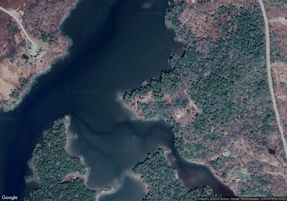
Map
Nearby Homes
- 56 Raccoon Ln
- 576 Pleasant Point Rd
- 95 Cushing Rd
- 43 Tamarack Ln
- 794 Pleasant Point Rd
- 253 Hathorne Point Rd
- 8 Cushing Rd
- 394 Hathorne Point Rd
- 28 Orne Ln
- 207 Pleasant Point Rd
- 317 Cross Rd
- 110 Cushing Rd
- 5 Harbor Rd
- Lot 1 Waldoboro Rd
- 23 Cottage Dr
- 250 Davis Point Rd
- 12 Burns Dr
- 361 Waldoboro Rd
- 3454 Friendship Rd
- 47 Teel Cove Rd
- 49 Gun Creek Ln
- 36 Gun Creek Ln
- Lot 1 Gun Creek
- 0 Gun Creek Ln Unit 1433164
- 92 Salt Pond Rd
- 0 Gun Creek Rd Unit 1249899
- 0 Gun Creek Rd Unit 1213917
- 68 Blueberry Ln
- 88 Salt Pond Rd
- 166 Salt Pond Rd
- Lot 21 Salt Pond Rd
- 00 Salt Pond Rd
- 178 Salt Pond Rd
- 28 Osprey Ln
- 86 Blueberry Ln
- 0 Racoon Rd Unit 852663
- 0 Racoon Rd Unit 823710
- 0 Racoon Rd Unit 788074
- 0 Raccoon Rd Unit 771311
- 0 Racoon Rd Unit 589549