Estimated Value: $305,000 - $496,000
3
Beds
2
Baths
1,579
Sq Ft
$261/Sq Ft
Est. Value
About This Home
This home is located at 49 Hemlock Point Rd, Orono, ME 04473 and is currently estimated at $412,088, approximately $260 per square foot. 49 Hemlock Point Rd is a home located in Penobscot County with nearby schools including Orono Middle School and Orono High School.
Ownership History
Date
Name
Owned For
Owner Type
Purchase Details
Closed on
Oct 31, 2022
Sold by
Bird Dean E and Campbell-Bird Debbie L
Bought by
Bird Ft
Current Estimated Value
Purchase Details
Closed on
Jan 21, 2009
Sold by
Drew Martin L and Drew Louise W
Bought by
Bird Dean E and Campbell-Bird Debbie L
Home Financials for this Owner
Home Financials are based on the most recent Mortgage that was taken out on this home.
Original Mortgage
$204,000
Interest Rate
5.51%
Mortgage Type
Commercial
Create a Home Valuation Report for This Property
The Home Valuation Report is an in-depth analysis detailing your home's value as well as a comparison with similar homes in the area
Home Values in the Area
Average Home Value in this Area
Purchase History
| Date | Buyer | Sale Price | Title Company |
|---|---|---|---|
| Bird Ft | -- | None Available | |
| Bird Dean E | -- | -- |
Source: Public Records
Mortgage History
| Date | Status | Borrower | Loan Amount |
|---|---|---|---|
| Previous Owner | Bird Dean E | $204,000 |
Source: Public Records
Tax History Compared to Growth
Tax History
| Year | Tax Paid | Tax Assessment Tax Assessment Total Assessment is a certain percentage of the fair market value that is determined by local assessors to be the total taxable value of land and additions on the property. | Land | Improvement |
|---|---|---|---|---|
| 2024 | $6,826 | $319,700 | $128,600 | $191,100 |
| 2023 | $6,802 | $290,700 | $116,900 | $173,800 |
| 2022 | $6,857 | $288,100 | $116,900 | $171,200 |
| 2021 | $6,842 | $288,100 | $116,900 | $171,200 |
| 2020 | $5,750 | $204,700 | $106,500 | $98,200 |
| 2019 | $5,414 | $204,700 | $106,500 | $98,200 |
| 2018 | $5,527 | $204,700 | $106,500 | $98,200 |
| 2017 | $5,322 | $204,700 | $106,500 | $98,200 |
| 2016 | $5,087 | $204,700 | $106,500 | $98,200 |
| 2015 | $4,995 | $204,700 | $106,500 | $98,200 |
| 2014 | $4,882 | $204,700 | $106,500 | $98,200 |
| 2013 | $4,749 | $204,700 | $106,500 | $98,200 |
Source: Public Records
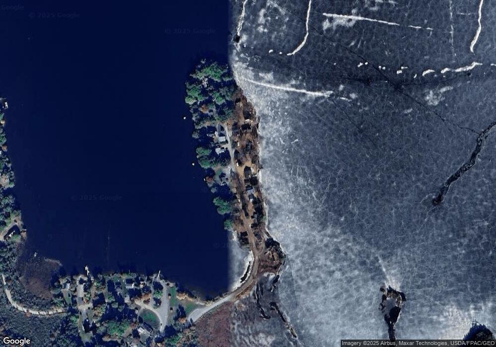
Map
Nearby Homes
- 0 Gould Rd
- 137 Aa Landing Rd
- 818 Forest Ave
- 83 Orono Landing Rd
- 953 Pushaw Rd
- 29 Merritt Dr
- 29 Kelliher St
- 10 Kelliher St
- 365 Walden Parke Way
- 35-46 Woodland Ave
- 1883 Essex St
- 183 Skyline Rd
- 549 Hudson Rd
- 336 Lakeview Rd
- 879 Hudson Rd
- 348 Lakeview Rd
- 199 Poplar St
- 199 Bomarc Rd Unit 3
- 2317&2327 Broadway
- Lot 14 Grant Rd
- 45 Hemlock Point Rd
- 53 Hemlock Point Rd
- 50 Hemlock Point Rd
- 46 Hemlock Point Rd
- 56 Hemlock Point Rd
- 40 Hemlock Point Rd
- 59 Hemlock Point Rd
- 39 Hemlock Point Rd
- 60 Hemlock Point Rd
- 61 Hemlock Point Rd
- 36 Hemlock Point Rd
- 33 Hemlock Point Rd
- 63 Hemlock Point Rd
- 64 Hemlock Point Rd
- 31 Hemlock Point Rd
- 68 Hemlock Point Rd
- 69 Hemlock Point Rd
- 31 & 33 Hemlock Point Rd
- 72 Hemlock Point Rd
- 5 Gould Rd