49 Hinds Ln Pelham, NH 03076
Estimated Value: $591,175 - $768,000
2
Beds
2
Baths
2,068
Sq Ft
$321/Sq Ft
Est. Value
About This Home
This home is located at 49 Hinds Ln, Pelham, NH 03076 and is currently estimated at $663,544, approximately $320 per square foot. 49 Hinds Ln is a home with nearby schools including Pelham Elementary School, Pelham Memorial School, and Pelham High School.
Ownership History
Date
Name
Owned For
Owner Type
Purchase Details
Closed on
Jun 29, 2018
Sold by
Lemay Curtis and Lamay Suzanne A
Bought by
Wilson Douglas
Current Estimated Value
Home Financials for this Owner
Home Financials are based on the most recent Mortgage that was taken out on this home.
Original Mortgage
$262,870
Outstanding Balance
$228,320
Interest Rate
4.6%
Mortgage Type
Purchase Money Mortgage
Estimated Equity
$435,224
Purchase Details
Closed on
Dec 16, 1968
Bought by
Lemay Suzanne and Lemay Curtis
Create a Home Valuation Report for This Property
The Home Valuation Report is an in-depth analysis detailing your home's value as well as a comparison with similar homes in the area
Home Values in the Area
Average Home Value in this Area
Purchase History
| Date | Buyer | Sale Price | Title Company |
|---|---|---|---|
| Wilson Douglas | $271,000 | -- | |
| Lemay Suzanne | -- | -- |
Source: Public Records
Mortgage History
| Date | Status | Borrower | Loan Amount |
|---|---|---|---|
| Open | Wilson Douglas | $262,870 |
Source: Public Records
Tax History Compared to Growth
Tax History
| Year | Tax Paid | Tax Assessment Tax Assessment Total Assessment is a certain percentage of the fair market value that is determined by local assessors to be the total taxable value of land and additions on the property. | Land | Improvement |
|---|---|---|---|---|
| 2024 | $9,243 | $504,000 | $291,700 | $212,300 |
| 2023 | $9,168 | $504,000 | $291,700 | $212,300 |
| 2022 | $7,553 | $433,600 | $291,700 | $141,900 |
| 2021 | $6,761 | $423,600 | $291,700 | $131,900 |
| 2020 | $5,624 | $278,400 | $170,900 | $107,500 |
| 2019 | $5,428 | $279,800 | $170,900 | $108,900 |
| 2018 | $5,929 | $276,300 | $170,900 | $105,400 |
| 2017 | $5,927 | $276,300 | $170,900 | $105,400 |
| 2016 | $5,788 | $276,300 | $170,900 | $105,400 |
| 2015 | $5,755 | $247,400 | $149,300 | $98,100 |
| 2014 | $5,601 | $244,900 | $149,300 | $95,600 |
| 2013 | $5,601 | $244,900 | $149,300 | $95,600 |
Source: Public Records
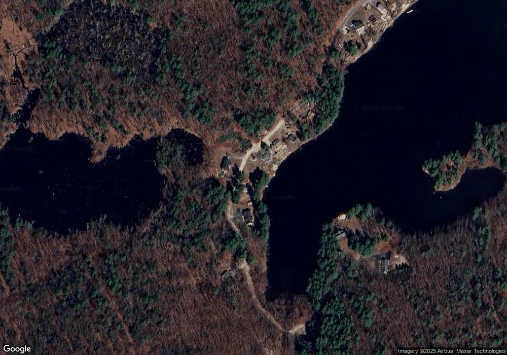
Map
Nearby Homes
- 10 Oakland Ridge Rd Unit 11
- 446 Mammoth Rd
- 508 Mammoth Rd
- 436 Mammoth Rd
- 78 Gowing Rd
- 25 Misty Ln
- 290 Mammoth Rd
- 23 Chardonnay Rd
- 54 James Way
- 5 Stephanie Dr
- 2 Copper Hill Rd
- 123 Musquash Rd
- 22 Old Coach Rd
- 19 Mcgrath Rd
- 73 A&B Mammoth Rd
- 73 Mammoth Rd Unit A&B
- 73 Mammoth Rd
- 63 Marsh Rd
- 50 Sagewood Dr
- 31 Sagewood Dr Unit 31