49 Lower Waldron Rd Meredith, NH 03253
Estimated Value: $639,000 - $867,000
2
Beds
4
Baths
1,664
Sq Ft
$446/Sq Ft
Est. Value
About This Home
This home is located at 49 Lower Waldron Rd, Meredith, NH 03253 and is currently estimated at $742,790, approximately $446 per square foot. 49 Lower Waldron Rd is a home with nearby schools including Inter-Lakes Elementary School.
Ownership History
Date
Name
Owned For
Owner Type
Purchase Details
Closed on
Aug 25, 2017
Sold by
Dainis Michael L Est
Bought by
Gould Eric J and Gould Jennifer D
Current Estimated Value
Purchase Details
Closed on
Sep 14, 2012
Sold by
Dainis Annette M
Bought by
Dainis Michael L
Create a Home Valuation Report for This Property
The Home Valuation Report is an in-depth analysis detailing your home's value as well as a comparison with similar homes in the area
Home Values in the Area
Average Home Value in this Area
Purchase History
| Date | Buyer | Sale Price | Title Company |
|---|---|---|---|
| Gould Eric J | $190,000 | -- | |
| Dainis Michael L | -- | -- |
Source: Public Records
Tax History Compared to Growth
Tax History
| Year | Tax Paid | Tax Assessment Tax Assessment Total Assessment is a certain percentage of the fair market value that is determined by local assessors to be the total taxable value of land and additions on the property. | Land | Improvement |
|---|---|---|---|---|
| 2024 | $6,832 | $665,900 | $317,200 | $348,700 |
| 2023 | $6,586 | $665,900 | $317,200 | $348,700 |
| 2022 | $5,948 | $425,800 | $164,000 | $261,800 |
| 2021 | $5,718 | $425,800 | $164,000 | $261,800 |
| 2020 | $5,970 | $425,800 | $164,000 | $261,800 |
| 2019 | $5,917 | $372,400 | $132,600 | $239,800 |
| 2018 | $5,817 | $372,400 | $132,600 | $239,800 |
| 2016 | $5,288 | $339,200 | $111,900 | $227,300 |
| 2015 | $5,156 | $339,200 | $111,900 | $227,300 |
| 2014 | $5,030 | $339,200 | $111,900 | $227,300 |
| 2013 | $4,888 | $339,200 | $111,900 | $227,300 |
Source: Public Records
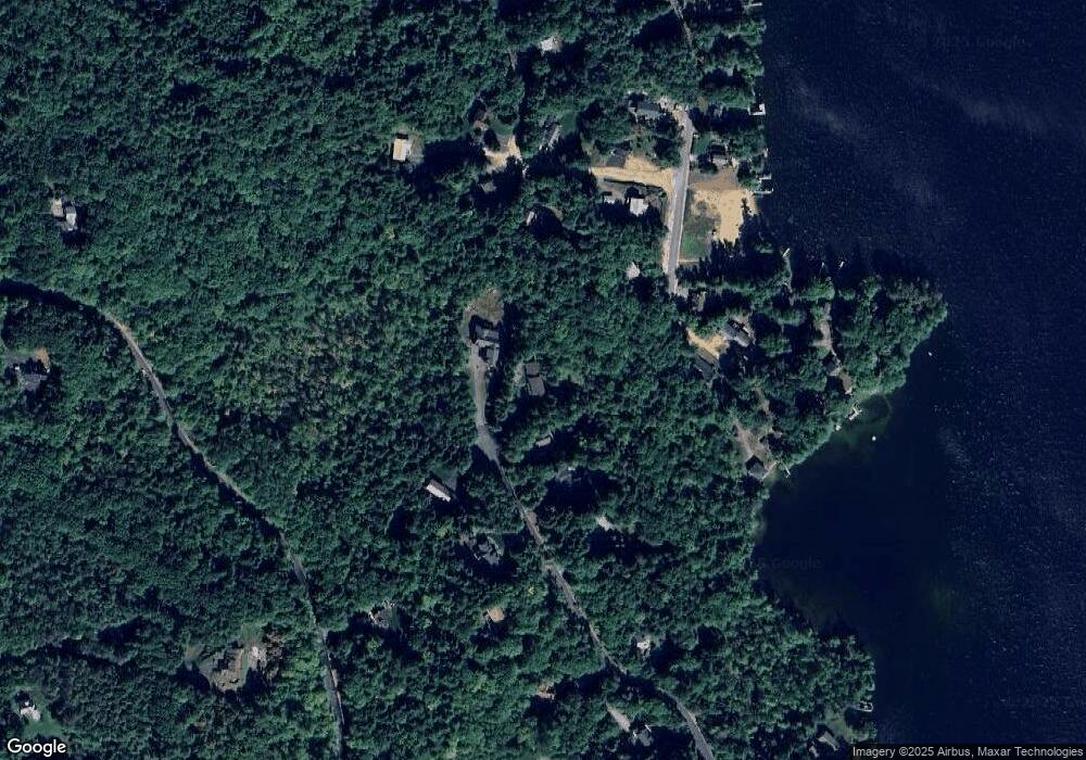
Map
Nearby Homes
- 264 Chemung Rd
- 00 Chemung Rd Unit 31
- 0 Black Brook Rd Unit 5063655
- 1 Sanctuary Ln
- 18 Solace Pointe Rd
- 247 Meredith Center Rd
- 6 Loon Point Rd
- 14 Solace Pointe Rd
- 36 New Rd
- 65 Tucker Mountain Rd
- 126 Meredith Center Rd
- 12 Serenity Ln
- 65 Corliss Hill Rd
- 3114 Parade Rd
- 32 Eastman Shore Rd S
- 447 Nh Route 104
- 207 Pease Rd
- 00 Pease Rd Unit 3A
- 358 Roller Coaster Rd
- 70 Hatch Corner Rd
- 47 Lower Waldron Rd
- 47 Lower Waldron Rd
- 51 Lower Waldron Rd
- 41 Lower Waldron Rd
- 50 Lower Waldron Rd
- 75 Weed Rd
- 0 Swain Rd
- 0 Swain Rd Unit 4169251
- 0 Swain Rd Unit 4169253
- 0 Swain Rd Unit 54 4927781
- 0 Swain Rd Unit 72979106
- 0 Swain Rd Unit 54 4908202
- 0 Swain Rd Unit R27 lot 3/4 4752727
- 0 Swain Rd Unit 4699696
- 6 Heritage Rd
- 44 Lower Waldron Rd
- 1 Bear Point Rd
- 0 Lower Waldron Unit 39 4697655
- 80 Weed Rd
- One Bear Point Rd