One Bear Point Rd Meredith, NH 03253
Estimated Value: $723,313 - $1,073,000
About This Home
This home is located at One Bear Point Rd, Meredith, NH 03253 and is currently estimated at $907,828, approximately $399 per square foot. One Bear Point Rd is a home located in Belknap County with nearby schools including Inter-Lakes Elementary School, Sandwich Central School, and Inter-Lakes Middle High School.
Ownership History
We collect this data history from publicly available records. To have your information removed, we recommend requesting removal directly through your county’s website.
Purchase Details
Purchase Details
Home Values in the Area
Average Home Value in this Area
Purchase History
We collect this data history from publicly available records. To have your information removed, we recommend requesting removal directly through your county’s website.
| Date | Buyer | Sale Price | Title Company |
|---|---|---|---|
| $350,000 | -- | ||
| $63,500 | -- |
Tax History
We collect this data history from publicly available records. To have your information removed, we recommend requesting removal directly through your county’s website.
| Year | Tax Paid | Tax Assessment Tax Assessment Total Assessment is a certain percentage of the fair market value that is determined by local assessors to be the total taxable value of land and additions on the property. | Land | Improvement |
|---|---|---|---|---|
| 2025 | $6,253 | $588,800 | $197,100 | $391,700 |
| 2024 | $6,041 | $588,800 | $197,100 | $391,700 |
| 2023 | $5,823 | $588,800 | $197,100 | $391,700 |
| 2022 | $5,373 | $384,600 | $92,500 | $292,100 |
| 2021 | $5,165 | $384,600 | $92,500 | $292,100 |
| 2020 | $5,392 | $384,600 | $92,500 | $292,100 |
| 2019 | $5,401 | $339,900 | $74,700 | $265,200 |
| 2018 | $5,309 | $339,900 | $74,700 | $265,200 |
| 2016 | $4,258 | $273,100 | $78,300 | $194,800 |
| 2015 | $4,151 | $273,100 | $78,300 | $194,800 |
| 2014 | $4,050 | $273,100 | $78,300 | $194,800 |
| 2013 | $3,388 | $235,100 | $78,300 | $156,800 |
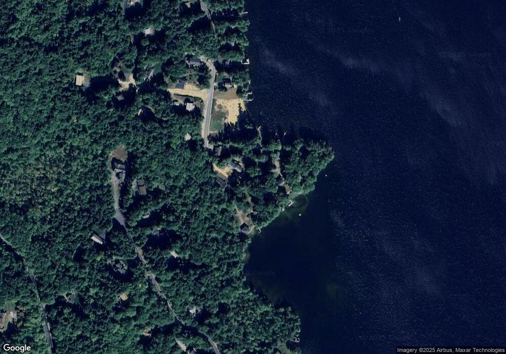
Map
- R29L9 Roxbury Rd
- 1385 Meredith Center Rd
- 1 Sanctuary Ln
- 247 Meredith Center Rd
- 36 New Rd
- 490 Meredith Center Rd
- 102 Corliss Hill Rd
- 00 Roxbury Rd Unit 1
- 376 Turner Way
- 106 Livingston Rd
- 101 Eastman Shore Rd S
- 302 Black Brook Rd
- 131 Woodman Rd
- 207 Pease Rd
- 9 Corliss Hill Rd
- 358 Roller Coaster Rd
- 203 Pease Rd
- 2 Clover Ln
- 70 Hatch Corner Rd
- 80 Hatch Corner Rd
- 1 Bear Point Rd
- 6 Bear Point Rd
- 80 Weed Rd
- 9 Bear Point Rd
- 10 Bear Point Rd
- 5 Bear Point Rd
- 8 Bear Point Rd
- 0 Swain Rd
- 0 Swain Rd Unit 4169251
- 0 Swain Rd Unit 4169253
- 0 Swain Rd Unit 54 4927781
- 0 Swain Rd Unit 72979106
- 0 Swain Rd Unit 54 4908202
- 0 Swain Rd Unit R27 lot 3/4 4752727
- 0 Swain Rd Unit 4699696
- 11 Bear Point Rd
- 12 Bear Point Rd
- 75 Weed Rd
- 15 Bear Point Rd
- 14 Bear Point Rd
Ask me questions while you tour the home.