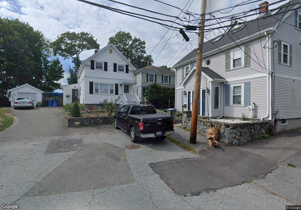
49 Moore St Waltham, MA 02453
South Side NeighborhoodEstimated Value: $663,000 - $858,000
3
Beds
1
Bath
1,620
Sq Ft
$449/Sq Ft
Est. Value
About This Home
This home is located at 49 Moore St, Waltham, MA 02453 and is currently estimated at $728,115, approximately $449 per square foot. 49 Moore St is a home located in Middlesex County with nearby schools including Henry Whittemore Elementary School, John W. Mcdevitt Middle School, and Waltham Sr High School.
Ownership History
Date
Name
Owned For
Owner Type
Purchase Details
Closed on
Feb 12, 2025
Sold by
Ditommasso Sharon A and Ditommasso Robert V
Bought by
Ditommasso Sharon A and Ditommasso Robert V
Current Estimated Value
Purchase Details
Closed on
Oct 31, 2008
Sold by
Chagnon David J and Chagnon Diane J
Bought by
Ditommaso Robert and Ditommaso Sharon A
Home Financials for this Owner
Home Financials are based on the most recent Mortgage that was taken out on this home.
Original Mortgage
$215,000
Interest Rate
5.83%
Mortgage Type
Purchase Money Mortgage
Create a Home Valuation Report for This Property
The Home Valuation Report is an in-depth analysis detailing your home's value as well as a comparison with similar homes in the area
Home Values in the Area
Average Home Value in this Area
Purchase History
| Date | Buyer | Sale Price | Title Company |
|---|---|---|---|
| Ditommasso Sharon A | -- | None Available | |
| Ditommaso Robert | $300,000 | -- |
Source: Public Records
Mortgage History
| Date | Status | Borrower | Loan Amount |
|---|---|---|---|
| Previous Owner | Ditommaso Robert | $215,000 |
Source: Public Records
Tax History
| Year | Tax Paid | Tax Assessment Tax Assessment Total Assessment is a certain percentage of the fair market value that is determined by local assessors to be the total taxable value of land and additions on the property. | Land | Improvement |
|---|---|---|---|---|
| 2025 | $5,972 | $608,100 | $0 | $608,100 |
| 2024 | $5,762 | $597,700 | $0 | $597,700 |
| 2023 | $5,871 | $568,900 | $0 | $568,900 |
| 2022 | $6,159 | $552,900 | $0 | $552,900 |
| 2021 | $5,537 | $489,100 | $0 | $489,100 |
| 2020 | $5,581 | $467,000 | $0 | $467,000 |
| 2019 | $5,022 | $396,700 | $0 | $396,700 |
| 2018 | $5,002 | $396,700 | $0 | $396,700 |
| 2017 | $3,803 | $302,800 | $0 | $302,800 |
| 2016 | $3,706 | $302,800 | $0 | $302,800 |
| 2015 | $3,880 | $295,500 | $0 | $295,500 |
Source: Public Records
Map
Nearby Homes
- 26 Friend St
- 308 Newton St Unit 1
- 312 Newton St Unit 1A
- 28-32 Calvary St
- 138 Myrtle St Unit 2
- 279-281 Ash St
- 176 River St
- 163-165 Chestnut St
- 266-274 River St
- 215 Ash St Unit 3
- 301 River St
- 61 Hall St Unit 1
- 61 Hall St Unit 9
- 61 Hall St Unit 2
- 31 Hall St Unit 2
- 10 Naviens Ln Unit 2
- 10 Naviens Ln Unit 1
- 24 Tolman St Unit 1
- 3 Amory Rd Unit 1
- 15 Alder St Unit 1
Your Personal Tour Guide
Ask me questions while you tour the home.