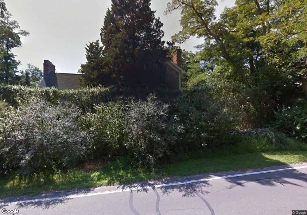
49 N Cartwright Rd Shelter Island, NY 11964
Estimated Value: $1,604,000
3
Beds
3
Baths
2,292
Sq Ft
$700/Sq Ft
Est. Value
About This Home
This home is located at 49 N Cartwright Rd, Shelter Island, NY 11964 and is currently estimated at $1,604,000, approximately $699 per square foot. 49 N Cartwright Rd is a home with nearby schools including Shelter Island School.
Ownership History
Date
Name
Owned For
Owner Type
Purchase Details
Closed on
Jan 18, 2003
Sold by
Wortis Henry H
Bought by
Schechter Stuart
Current Estimated Value
Home Financials for this Owner
Home Financials are based on the most recent Mortgage that was taken out on this home.
Original Mortgage
$500,000
Interest Rate
5.91%
Mortgage Type
Purchase Money Mortgage
Purchase Details
Closed on
Jul 25, 2002
Sold by
Wortis Henry H and Wortis Joseph
Bought by
Wortis Henry H
Create a Home Valuation Report for This Property
The Home Valuation Report is an in-depth analysis detailing your home's value as well as a comparison with similar homes in the area
Home Values in the Area
Average Home Value in this Area
Purchase History
| Date | Buyer | Sale Price | Title Company |
|---|---|---|---|
| Schechter Stuart | $643,750 | First American Title Ins Co | |
| Schechter Stuart | $643,750 | First American Title Ins Co | |
| Wortis Henry H | -- | Commonwealth Land Title Ins | |
| Wortis Henry H | -- | Commonwealth Land Title Ins |
Source: Public Records
Mortgage History
| Date | Status | Borrower | Loan Amount |
|---|---|---|---|
| Previous Owner | Schechter Stuart | $500,000 |
Source: Public Records
Tax History Compared to Growth
Tax History
| Year | Tax Paid | Tax Assessment Tax Assessment Total Assessment is a certain percentage of the fair market value that is determined by local assessors to be the total taxable value of land and additions on the property. | Land | Improvement |
|---|---|---|---|---|
| 2024 | $7,728 | $1,212,000 | $585,000 | $627,000 |
| 2023 | $7,728 | $1,212,000 | $585,000 | $627,000 |
| 2022 | $7,629 | $1,212,000 | $585,000 | $627,000 |
| 2021 | $7,500 | $1,212,000 | $585,000 | $627,000 |
| 2020 | $7,356 | $1,209,000 | $585,000 | $624,000 |
| 2019 | $7,356 | $0 | $0 | $0 |
| 2018 | $6,993 | $1,201,000 | $620,500 | $580,500 |
| 2017 | $6,993 | $1,173,000 | $616,800 | $556,200 |
| 2016 | $6,457 | $1,060,000 | $589,000 | $471,000 |
| 2015 | -- | $1,020,000 | $616,800 | $403,200 |
| 2014 | -- | $1,007,000 | $679,700 | $327,300 |
Source: Public Records
Map
Nearby Homes
- 64 N Cartwright Rd
- 3a/3b Pandion Rd Unit 3a/3b
- 4 Duvall Rd
- 47B S Ferry Rd
- 10 Sunshine Rd Unit B
- 47L S Ferry Rd
- 10 Strawberry Ln
- 139 A N Ferry Rd
- 33B S Midway Rd
- 8 Cove Way
- 64 N Rd
- 1 Meadow Place
- 21 Thompson Rd
- 52 S Midway Rd
- 7 Grand Ave
- 1 Gazon Rd
- 5 Grand Ave
- 5 N Menantic Rd
- 7 Gazon Rd
- 9 & 7 Westmoreland Dr
- 51 N Cartwright Rd
- 54 N Cartwright Rd
- 53 N Cartwright Rd
- 58 N Cartwright Rd
- 55 N Cartwright Rd
- 46 N Cartwright Rd
- 60 N Cartwright Rd
- 57 N Cartwright Rd
- 62 N Cartwright Rd
- 45 Burns Rd
- 63D N Cartwright Rd
- 56 N Cartwright Rd
- 41 Burns Rd
- 43 Burns Rd
- 62A N Cartwright Rd
- 37 Burns Rd
- 61 N Cartwright Rd
- 63C N Cartwright Rd
- 47 Burns Rd
- 51 Burns Rd