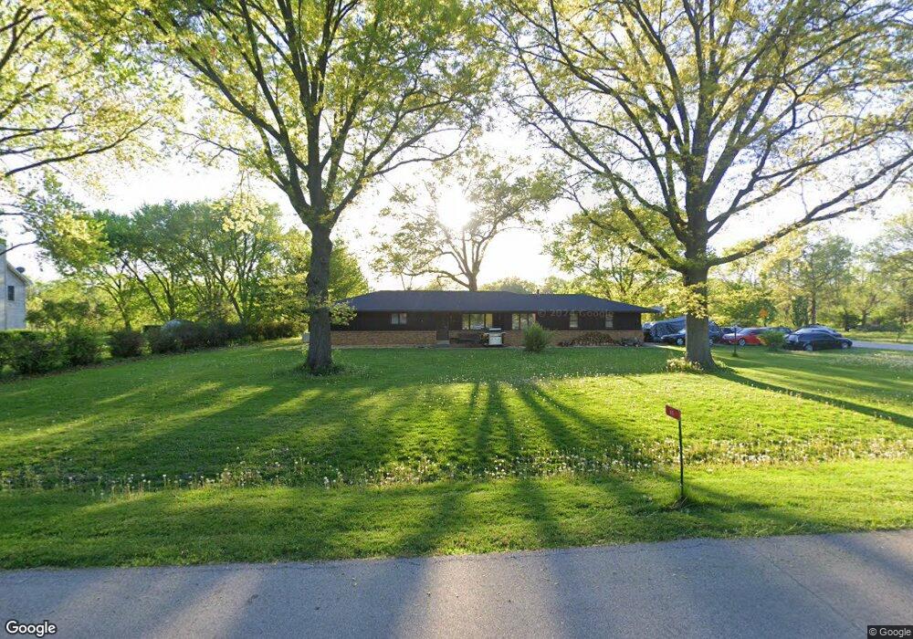
49 N West Dr Oswego, IL 60543
Northwest Oswego NeighborhoodEstimated Value: $362,000 - $375,000
3
Beds
2
Baths
1,573
Sq Ft
$234/Sq Ft
Est. Value
About This Home
This home is located at 49 N West Dr, Oswego, IL 60543 and is currently estimated at $368,703, approximately $234 per square foot. 49 N West Dr is a home located in Kendall County with nearby schools including Fox Chase Elementary School, Traughber Junior High School, and Oswego High School.
Ownership History
Date
Name
Owned For
Owner Type
Purchase Details
Closed on
Feb 24, 2005
Sold by
Furman Mark and Furman Margaret
Bought by
Furman Mark
Current Estimated Value
Purchase Details
Closed on
Mar 30, 2001
Sold by
Jensen Geraldine M and Galli Geraldine M
Bought by
Furman Mark and Furman Margaret
Home Financials for this Owner
Home Financials are based on the most recent Mortgage that was taken out on this home.
Original Mortgage
$179,800
Outstanding Balance
$66,281
Interest Rate
7.02%
Estimated Equity
$302,422
Purchase Details
Closed on
Oct 1, 1986
Create a Home Valuation Report for This Property
The Home Valuation Report is an in-depth analysis detailing your home's value as well as a comparison with similar homes in the area
Home Values in the Area
Average Home Value in this Area
Purchase History
| Date | Buyer | Sale Price | Title Company |
|---|---|---|---|
| Furman Mark | -- | -- | |
| Furman Mark | $200,000 | -- | |
| -- | $117,000 | -- |
Source: Public Records
Mortgage History
| Date | Status | Borrower | Loan Amount |
|---|---|---|---|
| Open | Furman Mark | $179,800 |
Source: Public Records
Tax History Compared to Growth
Tax History
| Year | Tax Paid | Tax Assessment Tax Assessment Total Assessment is a certain percentage of the fair market value that is determined by local assessors to be the total taxable value of land and additions on the property. | Land | Improvement |
|---|---|---|---|---|
| 2024 | $7,801 | $104,551 | $24,394 | $80,157 |
| 2023 | $7,385 | $90,914 | $21,212 | $69,702 |
| 2022 | $7,385 | $89,131 | $20,796 | $68,335 |
| 2021 | $6,907 | $81,028 | $18,905 | $62,123 |
| 2020 | $6,550 | $76,442 | $17,835 | $58,607 |
| 2019 | $6,655 | $76,442 | $17,835 | $58,607 |
| 2018 | $6,704 | $76,442 | $17,835 | $58,607 |
| 2017 | $6,476 | $70,130 | $16,362 | $53,768 |
| 2016 | $6,362 | $68,087 | $15,885 | $52,202 |
| 2015 | $6,463 | $66,104 | $15,422 | $50,682 |
| 2014 | -- | $62,362 | $14,549 | $47,813 |
| 2013 | -- | $62,992 | $14,696 | $48,296 |
Source: Public Records
Map
Nearby Homes
- 514 Bentson St
- 338 Millstream Ln Unit 1
- 125 Presidential Blvd Unit 3248
- 537 Arbor Ln
- 114 Riverview Ct
- 411 Bayberry Dr
- 5161 US Highway 34
- 505 Parkland Ct
- 238 Willowwood Dr
- 5055 U S 34
- 602 Clearwater Ct Unit 2
- 403 Lake Ct
- 608 Clearwater Ct
- 123 W Benton St
- 435 Fawn Dr
- LOT 10 SW Station Dr
- 2350 State Route 31
- 1 S Orchard Rd
- 613 Murdock Place
- 388 Danforth Dr
- 150 Osage Ct
- 137 Osage Ct
- 142 Osage Ct
- 27 N West Dr
- 34 West Dr
- 36 N West Dr
- 134 Osage Ct
- 28 N West Dr
- 508 Truman Dr
- 506 Truman Dr Unit 1
- 149 Eisenhower Dr
- 25 N West Dr
- 504 Truman Dr Unit 2
- 151 Eisenhower Dr Unit 1
- 37 N Cherry Dr
- 502 Truman Dr Unit 2
- 31 N Cherry Dr
- 153 Eisenhower Dr Unit 1
- 510 Truman Dr
- 126 Osage Ct